
| Memorials | : | 0 |
| Location | : | Felty, Clay County, USA |
| Coordinate | : | 37.3122100, -83.7074500 |
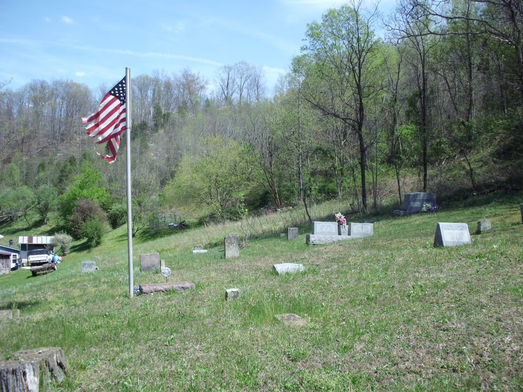
| Description | : | From Oneida, go north on Hwy 11 and turn left on Saddler Road just before entering Owsley County. This cemetery is located on the left side of the road. Another cemetery (North) is across the road. |
frequently asked questions (FAQ):
-
Where is Saddler Cemetery South?
Saddler Cemetery South is located at Saddler Rd Felty, Clay County ,Kentucky , 40972USA.
-
Saddler Cemetery South cemetery's updated grave count on graveviews.com?
0 memorials
-
Where are the coordinates of the Saddler Cemetery South?
Latitude: 37.3122100
Longitude: -83.7074500
Nearby Cemetories:
1. Saddler Cemetery North
Felty, Clay County, USA
Coordinate: 37.3125500, -83.7076400
2. George Felty Cemetery
Clay County, USA
Coordinate: 37.3142700, -83.7133600
3. Lower Saddler Cemetery
Felty, Clay County, USA
Coordinate: 37.3142800, -83.7134700
4. Corinth Church Cemetery
Alger, Clay County, USA
Coordinate: 37.3214190, -83.7283070
5. Middleton Cemetery
Clay County, USA
Coordinate: 37.3314018, -83.7197037
6. Russell-Moore Cemetery
Felty, Clay County, USA
Coordinate: 37.3366500, -83.7141300
7. Sizemore Cemetery
Manchester, Clay County, USA
Coordinate: 37.3367000, -83.7141100
8. Jesse Byrd Family Cemetery
Chestnutburg, Clay County, USA
Coordinate: 37.3029500, -83.7416000
9. Clark-Sparks-Sizemore Cemetery
Sextons Creek, Clay County, USA
Coordinate: 37.3255800, -83.7441700
10. Edwards-Sandlin Family Cemetery
Ricetown, Owsley County, USA
Coordinate: 37.3488846, -83.7043152
11. Laurel Point Cemetery
Clay County, USA
Coordinate: 37.3348167, -83.6705833
12. Rhonda L. Barger Cemetery
Oneida, Clay County, USA
Coordinate: 37.2871000, -83.6687100
13. Job Allen Cemetery
Oneida, Clay County, USA
Coordinate: 37.3150500, -83.6557000
14. Cradlebow Cemetery
Chestnutburg, Clay County, USA
Coordinate: 37.3018700, -83.7590800
15. Boggs Flat Cemeteries
Clay County, USA
Coordinate: 37.3060989, -83.7613983
16. Maxaline Baker Cemetery
Oneida, Clay County, USA
Coordinate: 37.2828400, -83.6668300
17. George Washington Edwards Cemetery
Island City, Owsley County, USA
Coordinate: 37.3544300, -83.7238300
18. John Metcalf Cemetery
Sextons Creek, Clay County, USA
Coordinate: 37.3303680, -83.7595050
19. Andy Sizemore Cemetery
Island City, Owsley County, USA
Coordinate: 37.3403830, -83.7526330
20. Saylor Cemetery
Owsley County, USA
Coordinate: 37.3551483, -83.7324677
21. Denver Robinson Cemetery
Clay County, USA
Coordinate: 37.2977142, -83.7646561
22. Hensley Cemetery
Ammie, Clay County, USA
Coordinate: 37.2656540, -83.6924540
23. King Cemetery
Owsley County, USA
Coordinate: 37.3622017, -83.6947021
24. Virginia Metcalf Cemetery
Sextons Creek, Clay County, USA
Coordinate: 37.3294590, -83.7679720