
| Memorials | : | 0 |
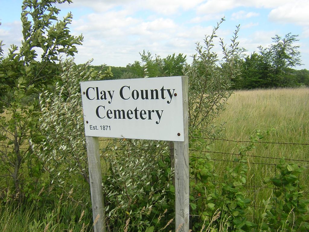
| Location | : | Chandler, Clay County, USA |
| Coordinate | : | 39.3072300, -94.3776000 |
| Description | : | SW¼ of the NW¼ of Section 22, Township 52, Range 31. The County Home Cemetery is located north of Liberty, Missouri, on Highway 33. Turn West on 116th Street and go just to the west of the Clay County Highway Department. The cemetery is on a ridge behind the site of the old County Home. |
frequently asked questions (FAQ):
-
Where is Clay County Cemetery?
Clay County Cemetery is located at Chandler, Clay County ,Missouri ,USA.
-
Clay County Cemetery cemetery's updated grave count on graveviews.com?
0 memorials
-
Where are the coordinates of the Clay County Cemetery?
Latitude: 39.3072300
Longitude: -94.3776000
Nearby Cemetories:
1. Chandler Church Cemetery
Chandler, Clay County, USA
Coordinate: 39.2986412, -94.3818207
2. Wade Cemetery
Liberty, Clay County, USA
Coordinate: 39.3106900, -94.4002850
3. Old Liberty Cemetery
Kearney, Clay County, USA
Coordinate: 39.3246994, -94.3700027
4. Robertson Cemetery
Clay County, USA
Coordinate: 39.2952995, -94.3964005
5. Stollings Graveyard
Kearney, Clay County, USA
Coordinate: 39.3220711, -94.3946533
6. Estes-Thomason Cemetery
Clay County, USA
Coordinate: 39.3271200, -94.3870500
7. Tapp Cemetery
Kearney, Clay County, USA
Coordinate: 39.3342000, -94.3669000
8. Means Cemetery
Clay County, USA
Coordinate: 39.2921982, -94.3419037
9. Glenridge Cemetery
Liberty, Clay County, USA
Coordinate: 39.2775002, -94.3927994
10. Munkirs Cemetery
Mosby, Clay County, USA
Coordinate: 39.3246994, -94.3371964
11. Hodges Graveyard
Clay County, USA
Coordinate: 39.2883500, -94.3374900
12. Pickett Cemetery
Liberty, Clay County, USA
Coordinate: 39.2963982, -94.4285965
13. Lincoln Cemetery
Liberty, Clay County, USA
Coordinate: 39.2788600, -94.4198900
14. Baldwin Cemetery
Excelsior Springs, Clay County, USA
Coordinate: 39.2956009, -94.3197021
15. McQuiddy Family Cemetery
Liberty, Clay County, USA
Coordinate: 39.2639000, -94.3519000
16. Baker Cemetery
Liberty, Clay County, USA
Coordinate: 39.2678700, -94.4171600
17. Richard Simms Burying Grounds
Liberty, Clay County, USA
Coordinate: 39.3449000, -94.4310000
18. Cameron Cemetery
Clay County, USA
Coordinate: 39.2743988, -94.3182983
19. Mount Zion Cemetery
Mosby, Clay County, USA
Coordinate: 39.2881012, -94.3052979
20. Mount Olivet Cemetery
Kearney, Clay County, USA
Coordinate: 39.3671989, -94.3632965
21. Mount Memorial Cemetery
Liberty, Clay County, USA
Coordinate: 39.2489014, -94.4123383
22. Woodland Cemetery
Mosby, Clay County, USA
Coordinate: 39.2928009, -94.2960968
23. Estes Cemetery
Clay County, USA
Coordinate: 39.3722038, -94.3583755
24. Newlee-Soper Cemetery
Kearney, Clay County, USA
Coordinate: 39.3713989, -94.4011002