
| Memorials | : | 0 |
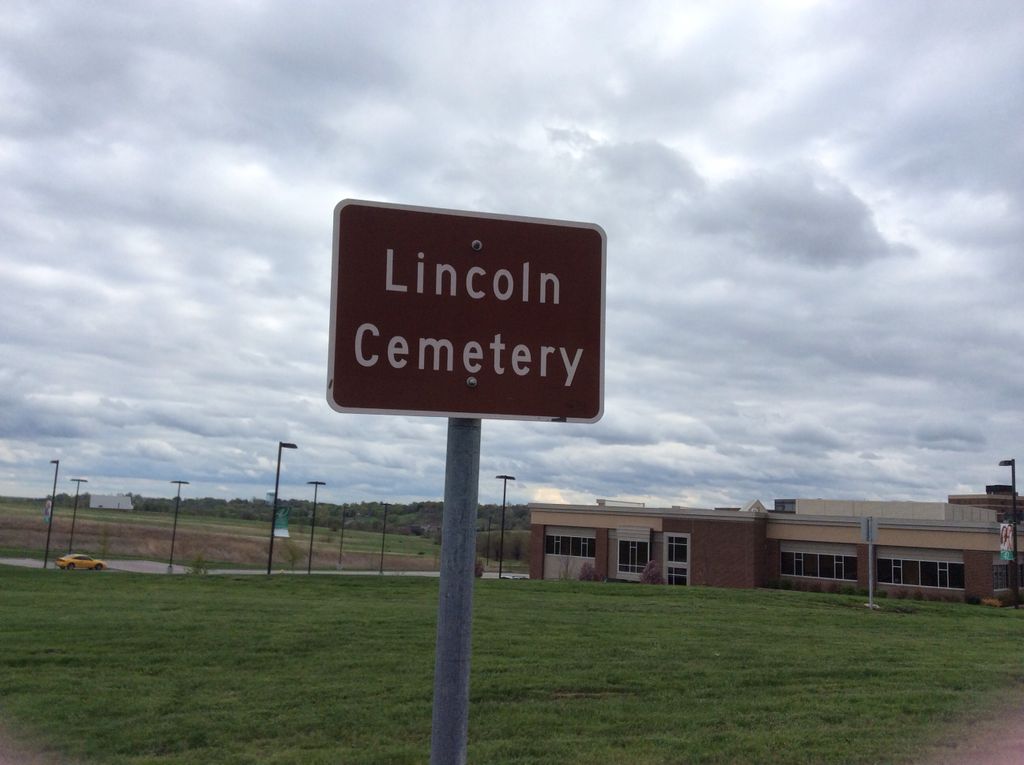
| Location | : | Liberty, Clay County, USA |
| Coordinate | : | 39.2788600, -94.4198900 |
| Description | : | I read in an old cemetery inscription book for Clay Co. written in the 1960`s or 1970`s.It stated the Lincoln Cemetery as being on the land to the north of the Liberty Hospital in a pasture.There was only 1 stone w/David Lincoln on one side and America Lincoln-David`s wife on the other.I`ve been there 2 times and have looked everywhere and have never found this stone anywhere.There is a large pasture north of the cemetery on hospital land that looks like it had a house on it at one time.Anyway I can`t find it,but know it was there somewhere.Does anyone... Read More |
frequently asked questions (FAQ):
-
Where is Lincoln Cemetery?
Lincoln Cemetery is located at Liberty, Clay County ,Missouri ,USA.
-
Lincoln Cemetery cemetery's updated grave count on graveviews.com?
0 memorials
-
Where are the coordinates of the Lincoln Cemetery?
Latitude: 39.2788600
Longitude: -94.4198900
Nearby Cemetories:
1. Baker Cemetery
Liberty, Clay County, USA
Coordinate: 39.2678700, -94.4171600
2. Pickett Cemetery
Liberty, Clay County, USA
Coordinate: 39.2963982, -94.4285965
3. Glenridge Cemetery
Liberty, Clay County, USA
Coordinate: 39.2775002, -94.3927994
4. Robertson Cemetery
Clay County, USA
Coordinate: 39.2952995, -94.3964005
5. Mount Memorial Cemetery
Liberty, Clay County, USA
Coordinate: 39.2489014, -94.4123383
6. George Wymore Gravesite
Clay County, USA
Coordinate: 39.2471100, -94.4191200
7. Second Baptist Church Cemetery
Liberty, Clay County, USA
Coordinate: 39.2465860, -94.4172780
8. Little Shoal Cemetery
Liberty, Clay County, USA
Coordinate: 39.2736015, -94.4646988
9. Wade Cemetery
Liberty, Clay County, USA
Coordinate: 39.3106900, -94.4002850
10. Chandler Church Cemetery
Chandler, Clay County, USA
Coordinate: 39.2986412, -94.3818207
11. Fairview Cemetery
Liberty, Clay County, USA
Coordinate: 39.2428017, -94.4238968
12. New Hope Cemetery
Liberty, Clay County, USA
Coordinate: 39.2392006, -94.4255981
13. Clay County Cemetery
Chandler, Clay County, USA
Coordinate: 39.3072300, -94.3776000
14. McQuiddy Cemetery
Kansas City, Clay County, USA
Coordinate: 39.2504437, -94.4658178
15. Old Providence Cemetery
Clay County, USA
Coordinate: 39.3097000, -94.4638977
16. Stollings Graveyard
Kearney, Clay County, USA
Coordinate: 39.3220711, -94.3946533
17. Odd Fellows Cemetery
Liberty, Clay County, USA
Coordinate: 39.2294500, -94.4056100
18. Providence Church Graveyard
Liberty, Clay County, USA
Coordinate: 39.3136101, -94.4736099
19. Estes-Thomason Cemetery
Clay County, USA
Coordinate: 39.3271200, -94.3870500
20. McQuiddy Family Cemetery
Liberty, Clay County, USA
Coordinate: 39.2639000, -94.3519000
21. Keller Cemetery
Clay County, USA
Coordinate: 39.2415200, -94.3627900
22. Old Liberty Cemetery
Kearney, Clay County, USA
Coordinate: 39.3246994, -94.3700027
23. Means Cemetery
Clay County, USA
Coordinate: 39.2921982, -94.3419037
24. Hodges Graveyard
Clay County, USA
Coordinate: 39.2883500, -94.3374900