
| Memorials | : | 0 |
| Location | : | Mandeville, Miller County, USA |
| Coordinate | : | 33.4741600, -93.9807500 |
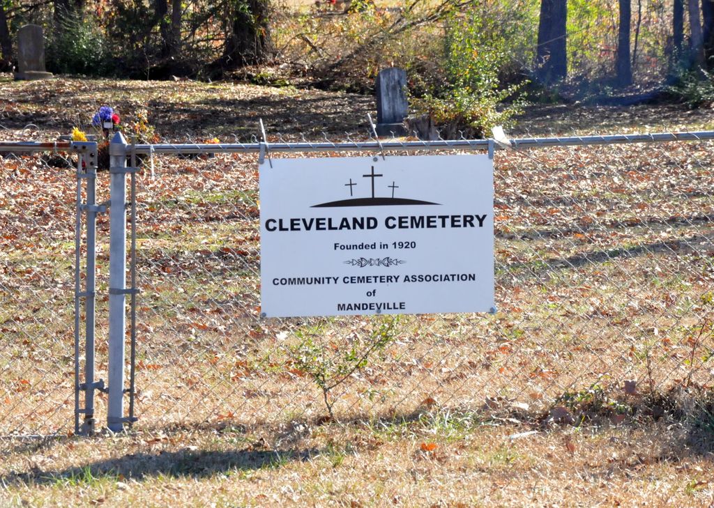
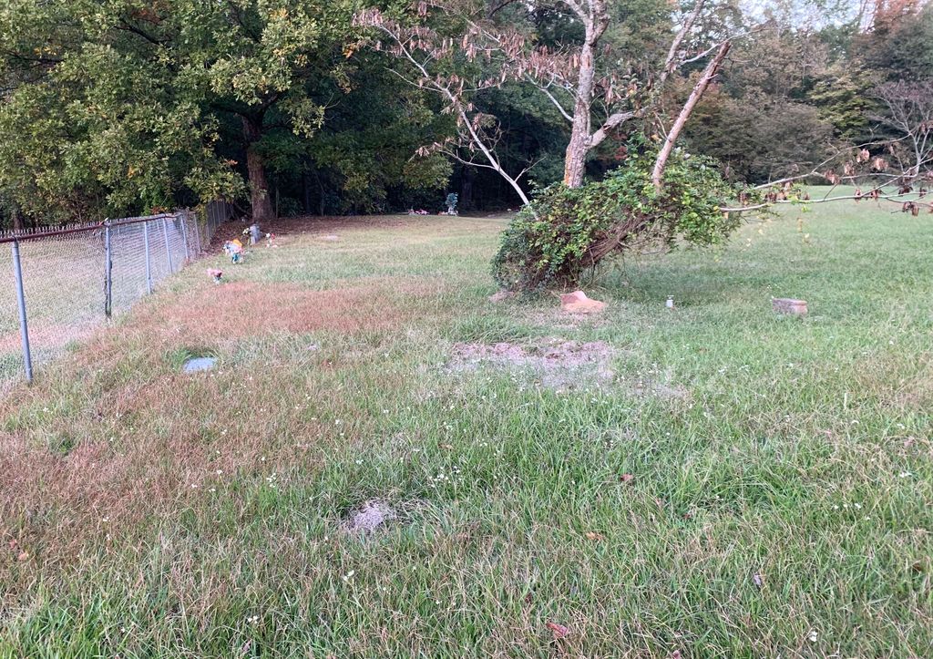
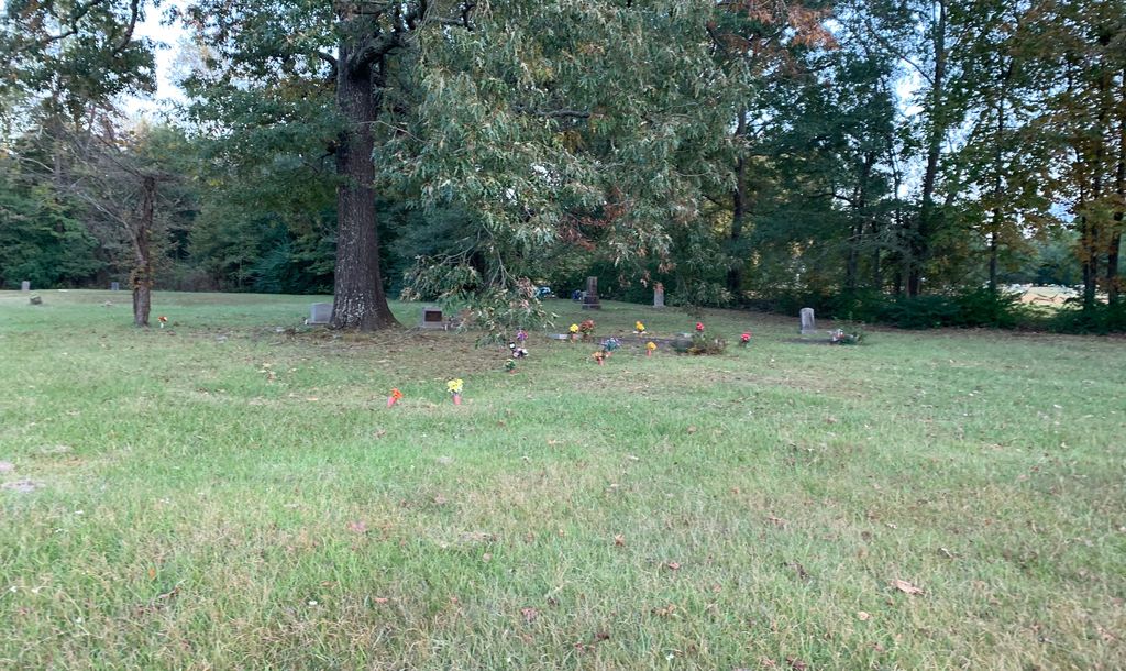
| Description | : | This cemetery is located in Miller County, AR on Hwy 67N, 1.3 miles north of the entrance to Texarkana Regional Airport. It is surrounded by a chain link fence, with both pedestrian and vehicle gates. It is regularly mowed. There are many unmarked graves and some with temporary funeral home markers that are unreadable. The headstones and markers listed constitute not more than 1/3 of the burials, which have been conducted in this cemetery. |
frequently asked questions (FAQ):
-
Where is Cleveland Cemetery?
Cleveland Cemetery is located at Mandeville, Miller County ,Arkansas ,USA.
-
Cleveland Cemetery cemetery's updated grave count on graveviews.com?
0 memorials
-
Where are the coordinates of the Cleveland Cemetery?
Latitude: 33.4741600
Longitude: -93.9807500
Nearby Cemetories:
1. East Memorial Gardens
Texarkana, Miller County, USA
Coordinate: 33.4710700, -93.9796100
2. Swan Lake Baptist Church Cemetery
Texarkana, Miller County, USA
Coordinate: 33.4891080, -93.9633410
3. Amie Cemetery
Texarkana, Miller County, USA
Coordinate: 33.4741460, -94.0100130
4. Old Rondo Cemetery
Rondo, Miller County, USA
Coordinate: 33.4467010, -93.9674988
5. Fair Haven Cemetery
Texarkana, Miller County, USA
Coordinate: 33.4550018, -94.0108032
6. Rondo Memorial Park Cemetery
Texarkana, Miller County, USA
Coordinate: 33.4445550, -93.9659340
7. Calvary Cemetery
Texarkana, Miller County, USA
Coordinate: 33.4542007, -94.0136032
8. Harrison Chapel Cemetery
Miller County, USA
Coordinate: 33.4583015, -93.9417038
9. Mount Olive Missionary Baptist Church Cemetery
Texarkana, Miller County, USA
Coordinate: 33.4783290, -94.0241550
10. Woodlawn Cemetery
Texarkana, Miller County, USA
Coordinate: 33.4516983, -94.0391998
11. State Line Cemetery
Texarkana, Miller County, USA
Coordinate: 33.4516983, -94.0408020
12. Mount Sinai Memorial Park
Texarkana, Miller County, USA
Coordinate: 33.4520990, -94.0417440
13. Holy Cross Cemetery
Texarkana, Bowie County, USA
Coordinate: 33.4617004, -94.0507965
14. Wooten Springs Cemetery
Texarkana, Bowie County, USA
Coordinate: 33.4611015, -94.0522003
15. Shiloh Cemetery
Texarkana, Miller County, USA
Coordinate: 33.4302500, -93.9188000
16. Saint James Episcopal Columbarium
Texarkana, Bowie County, USA
Coordinate: 33.4243500, -94.0435480
17. Sacred Heart Cemetery
Texarkana, Bowie County, USA
Coordinate: 33.4306010, -94.0520460
18. Red Springs Cemetery
Texarkana, Bowie County, USA
Coordinate: 33.4832993, -94.0727997
19. Paup Cemetery
Miller County, USA
Coordinate: 33.5353012, -93.9199982
20. Polk Cemetery
Miller County, USA
Coordinate: 33.3993988, -93.9377975
21. Rose Hill Cemetery
Texarkana, Bowie County, USA
Coordinate: 33.4133000, -94.0541990
22. Goodwin-Orr Cemetery
Miller County, USA
Coordinate: 33.3856400, -94.0019270
23. Moores Chapel Cemetery
Texarkana, Bowie County, USA
Coordinate: 33.4767900, -94.1002700
24. Mount Oba Cemetery
Miller County, USA
Coordinate: 33.3849983, -93.9261017