
| Memorials | : | 0 |
| Location | : | Texarkana, Miller County, USA |
| Phone | : | 870 773 0110 |
| Coordinate | : | 33.4891080, -93.9633410 |
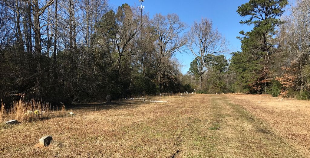
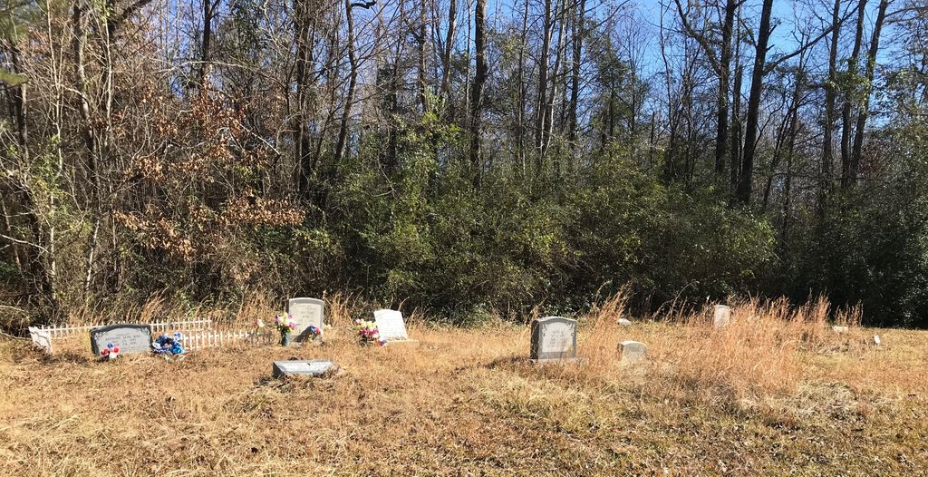
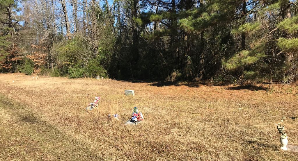
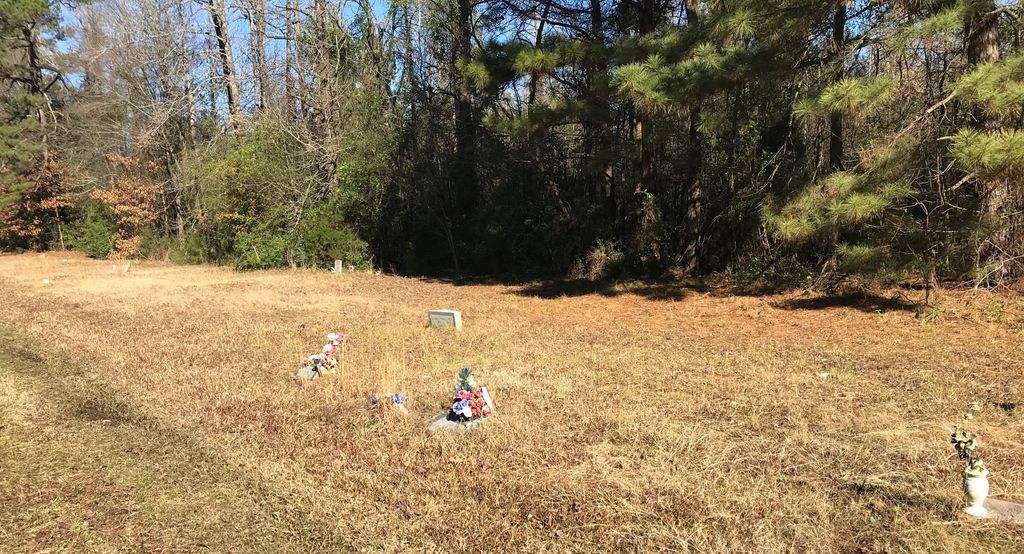
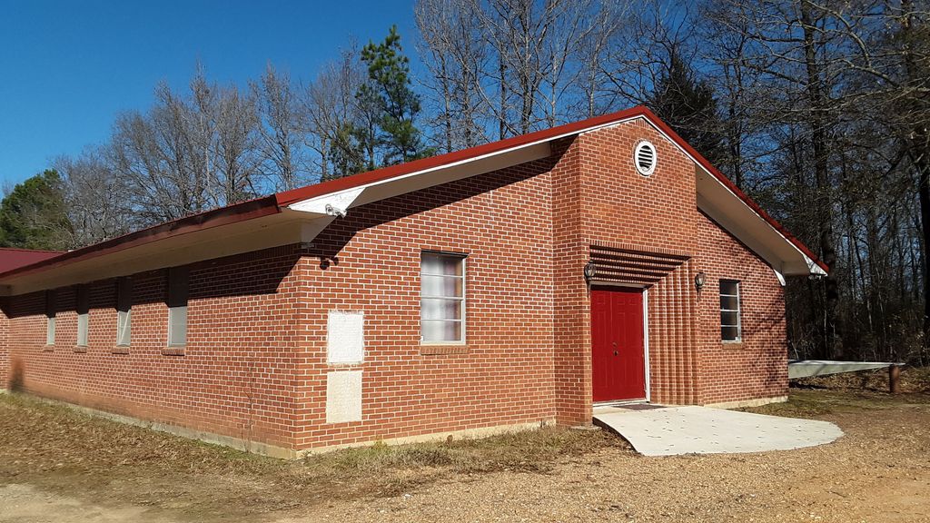
| Description | : | Cemetery is located adjacent to Swan Lake Baptist Church. Directions: Located on Sugar Hill Road (MC 296) where it intersects with Hwy 67 North. |
frequently asked questions (FAQ):
-
Where is Swan Lake Baptist Church Cemetery?
Swan Lake Baptist Church Cemetery is located at 7201 Sugar Hill Road Texarkana, Miller County ,Arkansas , 71854USA.
-
Swan Lake Baptist Church Cemetery cemetery's updated grave count on graveviews.com?
0 memorials
-
Where are the coordinates of the Swan Lake Baptist Church Cemetery?
Latitude: 33.4891080
Longitude: -93.9633410

Nearby Cemetories:
1. Cleveland Cemetery
Mandeville, Miller County, USA
Coordinate: 33.4741600, -93.9807500
2. East Memorial Gardens
Texarkana, Miller County, USA
Coordinate: 33.4710700, -93.9796100
3. Harrison Chapel Cemetery
Miller County, USA
Coordinate: 33.4583015, -93.9417038
4. Amie Cemetery
Texarkana, Miller County, USA
Coordinate: 33.4741460, -94.0100130
5. Old Rondo Cemetery
Rondo, Miller County, USA
Coordinate: 33.4467010, -93.9674988
6. Rondo Memorial Park Cemetery
Texarkana, Miller County, USA
Coordinate: 33.4445550, -93.9659340
7. Mount Olive Missionary Baptist Church Cemetery
Texarkana, Miller County, USA
Coordinate: 33.4783290, -94.0241550
8. Fair Haven Cemetery
Texarkana, Miller County, USA
Coordinate: 33.4550018, -94.0108032
9. Calvary Cemetery
Texarkana, Miller County, USA
Coordinate: 33.4542007, -94.0136032
10. Paup Cemetery
Miller County, USA
Coordinate: 33.5353012, -93.9199982
11. Shiloh Cemetery
Texarkana, Miller County, USA
Coordinate: 33.4302500, -93.9188000
12. Woodlawn Cemetery
Texarkana, Miller County, USA
Coordinate: 33.4516983, -94.0391998
13. State Line Cemetery
Texarkana, Miller County, USA
Coordinate: 33.4516983, -94.0408020
14. Mount Sinai Memorial Park
Texarkana, Miller County, USA
Coordinate: 33.4520990, -94.0417440
15. Holy Cross Cemetery
Texarkana, Bowie County, USA
Coordinate: 33.4617004, -94.0507965
16. Wooten Springs Cemetery
Texarkana, Bowie County, USA
Coordinate: 33.4611015, -94.0522003
17. Red Springs Cemetery
Texarkana, Bowie County, USA
Coordinate: 33.4832993, -94.0727997
18. Polk Cemetery
Miller County, USA
Coordinate: 33.3993988, -93.9377975
19. Saint James Episcopal Columbarium
Texarkana, Bowie County, USA
Coordinate: 33.4243500, -94.0435480
20. Sacred Heart Cemetery
Texarkana, Bowie County, USA
Coordinate: 33.4306010, -94.0520460
21. Mount Zion Missionary Baptist Cemetery
Miller County, USA
Coordinate: 33.4700770, -93.8490220
22. Armstrong Cemetery
Little River County, USA
Coordinate: 33.5821660, -94.0101790
23. Rose Hill Cemetery
Texarkana, Bowie County, USA
Coordinate: 33.4133000, -94.0541990
24. Goodwin-Orr Cemetery
Miller County, USA
Coordinate: 33.3856400, -94.0019270