
| Memorials | : | 39 |
| Location | : | Texarkana, Miller County, USA |
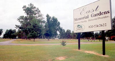
| Phone | : | 870-774-7622 |
| Coordinate | : | 33.4710700, -93.9796100 |
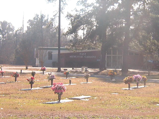
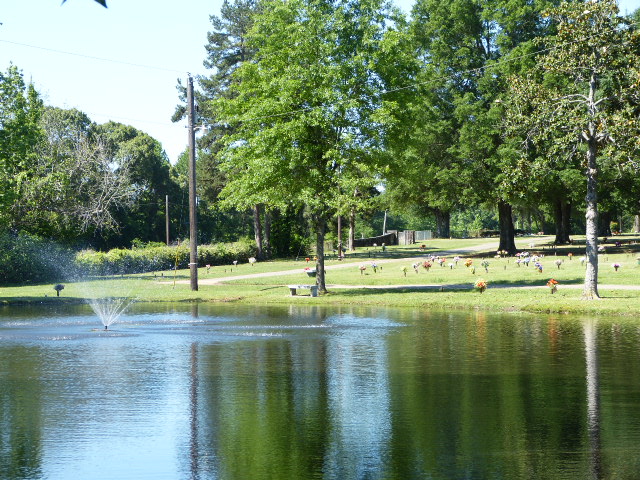
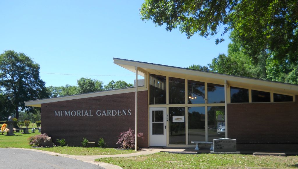
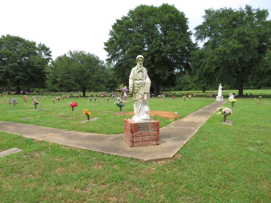
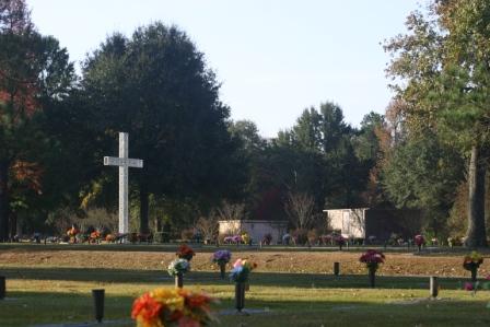
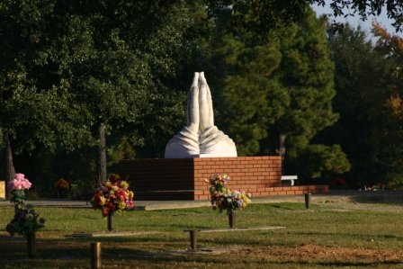
| Description | : | The Texas/Arkansas state line divides the town of Texarkana. The cemetery is operated by East Funeral Home and the term East refers to the funeral home, there is no other Memorial Gardens cemetery. East Funeral Home refers to the cemetery as Memorial Gardens. The cemetery is in the northeast part of the Texarkana metropolitan area, about 1 mile northeast of the Texarkana Regional Airport and near the interchange of Interstate 30 and Interstate 49. |
frequently asked questions (FAQ):
-
Where is East Memorial Gardens?
East Memorial Gardens is located at 5200 E. Broad Street Texarkana, Miller County ,Arkansas , 71854USA.
-
East Memorial Gardens cemetery's updated grave count on graveviews.com?
37 memorials
-
Where are the coordinates of the East Memorial Gardens?
Latitude: 33.4710700
Longitude: -93.9796100

Nearby Cemetories:
1. Cleveland Cemetery
Mandeville, Miller County, USA
Coordinate: 33.4741600, -93.9807500
2. Swan Lake Baptist Church Cemetery
Texarkana, Miller County, USA
Coordinate: 33.4891080, -93.9633410
3. Amie Cemetery
Texarkana, Miller County, USA
Coordinate: 33.4741460, -94.0100130
4. Old Rondo Cemetery
Rondo, Miller County, USA
Coordinate: 33.4467010, -93.9674988
5. Rondo Memorial Park Cemetery
Texarkana, Miller County, USA
Coordinate: 33.4445550, -93.9659340
6. Fair Haven Cemetery
Texarkana, Miller County, USA
Coordinate: 33.4550018, -94.0108032
7. Calvary Cemetery
Texarkana, Miller County, USA
Coordinate: 33.4542007, -94.0136032
8. Harrison Chapel Cemetery
Miller County, USA
Coordinate: 33.4583015, -93.9417038
9. Mount Olive Missionary Baptist Church Cemetery
Texarkana, Miller County, USA
Coordinate: 33.4783290, -94.0241550
10. Woodlawn Cemetery
Texarkana, Miller County, USA
Coordinate: 33.4516983, -94.0391998
11. State Line Cemetery
Texarkana, Miller County, USA
Coordinate: 33.4516983, -94.0408020
12. Mount Sinai Memorial Park
Texarkana, Miller County, USA
Coordinate: 33.4520990, -94.0417440
13. Holy Cross Cemetery
Texarkana, Bowie County, USA
Coordinate: 33.4617004, -94.0507965
14. Wooten Springs Cemetery
Texarkana, Bowie County, USA
Coordinate: 33.4611015, -94.0522003
15. Shiloh Cemetery
Texarkana, Miller County, USA
Coordinate: 33.4302500, -93.9188000
16. Saint James Episcopal Columbarium
Texarkana, Bowie County, USA
Coordinate: 33.4243500, -94.0435480
17. Sacred Heart Cemetery
Texarkana, Bowie County, USA
Coordinate: 33.4306010, -94.0520460
18. Red Springs Cemetery
Texarkana, Bowie County, USA
Coordinate: 33.4832993, -94.0727997
19. Polk Cemetery
Miller County, USA
Coordinate: 33.3993988, -93.9377975
20. Paup Cemetery
Miller County, USA
Coordinate: 33.5353012, -93.9199982
21. Rose Hill Cemetery
Texarkana, Bowie County, USA
Coordinate: 33.4133000, -94.0541990
22. Goodwin-Orr Cemetery
Miller County, USA
Coordinate: 33.3856400, -94.0019270
23. Mount Oba Cemetery
Miller County, USA
Coordinate: 33.3849983, -93.9261017
24. Moores Chapel Cemetery
Texarkana, Bowie County, USA
Coordinate: 33.4767900, -94.1002700