| Memorials | : | 0 |
| Location | : | Linden, Atchison County, USA |
| Coordinate | : | 40.4925560, -95.5313590 |
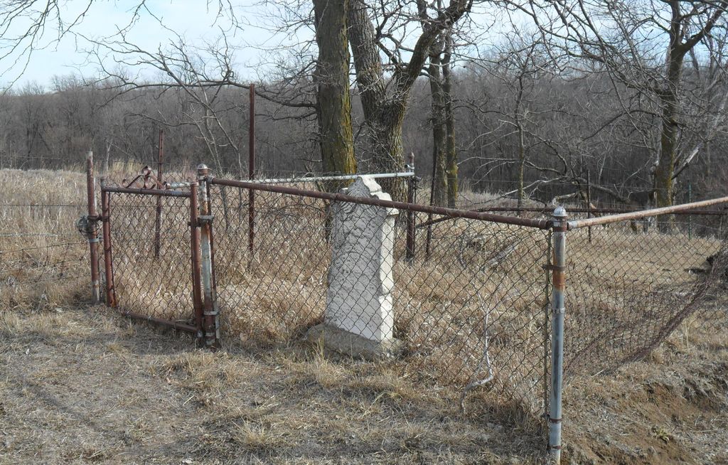
| Description | : | This is a private family burial site located on private property in Section 34, Township 66, Range 41, Polk Township, Atchison County, Missouri. It is 5 miles north of Rock Port, Missouri on Highway 275 to 165th Street. Then west on 165th Street about 1/4 mile. It is located about 1/2 mile north of 165th Street in the middle of a hay meadow. Conrad Clipfield was one of the "Founding Father's" of Atchison County, Missouri. The organization of Atchison County took place in his home, near where he is buried on February 14, 1845. ... Read More |
frequently asked questions (FAQ):
-
Where is Clipfield Family Cemetery?
Clipfield Family Cemetery is located at Linden, Atchison County ,Missouri ,USA.
-
Clipfield Family Cemetery cemetery's updated grave count on graveviews.com?
0 memorials
-
Where are the coordinates of the Clipfield Family Cemetery?
Latitude: 40.4925560
Longitude: -95.5313590
Nearby Cemetories:
1. Linden Cemetery
Watson, Atchison County, USA
Coordinate: 40.4856130, -95.5383220
2. Klaus Burial Site
Watson, Atchison County, USA
Coordinate: 40.4917400, -95.5440620
3. Stoner Cemetery
Atchison County, USA
Coordinate: 40.5127983, -95.5618973
4. High Creek Cemetery
Rock Port, Atchison County, USA
Coordinate: 40.5086780, -95.5690380
5. Addington Cemetery
Watson, Atchison County, USA
Coordinate: 40.4721985, -95.5828018
6. Kinser Burial Site
Watson, Atchison County, USA
Coordinate: 40.4974350, -95.5908610
7. Grange Hall Cemetery
Rock Port, Atchison County, USA
Coordinate: 40.5311012, -95.4863968
8. Smith Cemetery
Rock Port, Atchison County, USA
Coordinate: 40.4375000, -95.5028000
9. County Home Cemetery
Rock Port, Atchison County, USA
Coordinate: 40.4180310, -95.5163740
10. Lansdown family burial site
Rock Port, Atchison County, USA
Coordinate: 40.4154319, -95.5522575
11. Clayton-Lewis Cemetery
Rock Port, Atchison County, USA
Coordinate: 40.5439730, -95.6102280
12. Saint John's Church Cemetery
Atchison County, USA
Coordinate: 40.5382000, -95.4465000
13. Millsap Cemetery
Rock Port, Atchison County, USA
Coordinate: 40.4150009, -95.5532990
14. Greenhill Cemetery
Rock Port, Atchison County, USA
Coordinate: 40.4143982, -95.5074997
15. Elmwood Cemetery
Rock Port, Atchison County, USA
Coordinate: 40.4062740, -95.5206080
16. Sonora Cemetery
Watson, Atchison County, USA
Coordinate: 40.4730988, -95.6521988
17. Union Cemetery
Rock Port, Atchison County, USA
Coordinate: 40.5685000, -95.6110000
18. Mount Olive Cemetery
Hamburg, Fremont County, USA
Coordinate: 40.5938721, -95.5939484
19. Beehive Cemetery
Washington Township, Fremont County, USA
Coordinate: 40.5918740, -95.6087003
20. Buckmiller Burial Site
Tarkio, Atchison County, USA
Coordinate: 40.4121111, -95.4033806
21. Tarkio Home Cemetery
Tarkio, Atchison County, USA
Coordinate: 40.4331017, -95.3835983
22. Hunter Cemetery
Rock Port, Atchison County, USA
Coordinate: 40.3636017, -95.5216980
23. Walnut Grove Cemetery
Brownville, Nemaha County, USA
Coordinate: 40.4023056, -95.6642990
24. Honey Creek Cemetery
Nemaha Township, Nemaha County, USA
Coordinate: 40.4430199, -95.6980820

