
| Memorials | : | 1 |
| Location | : | Washington County, USA |
| Coordinate | : | 36.1537980, -94.0177970 |
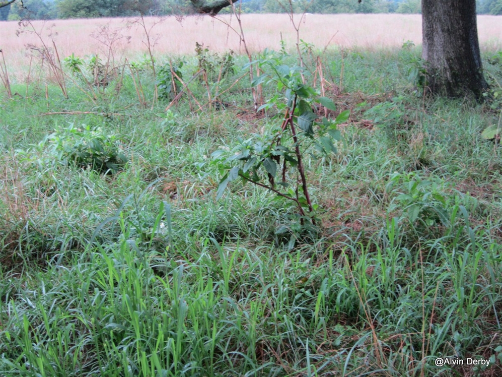
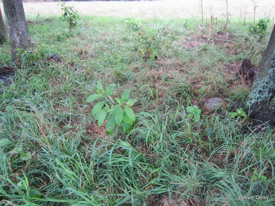
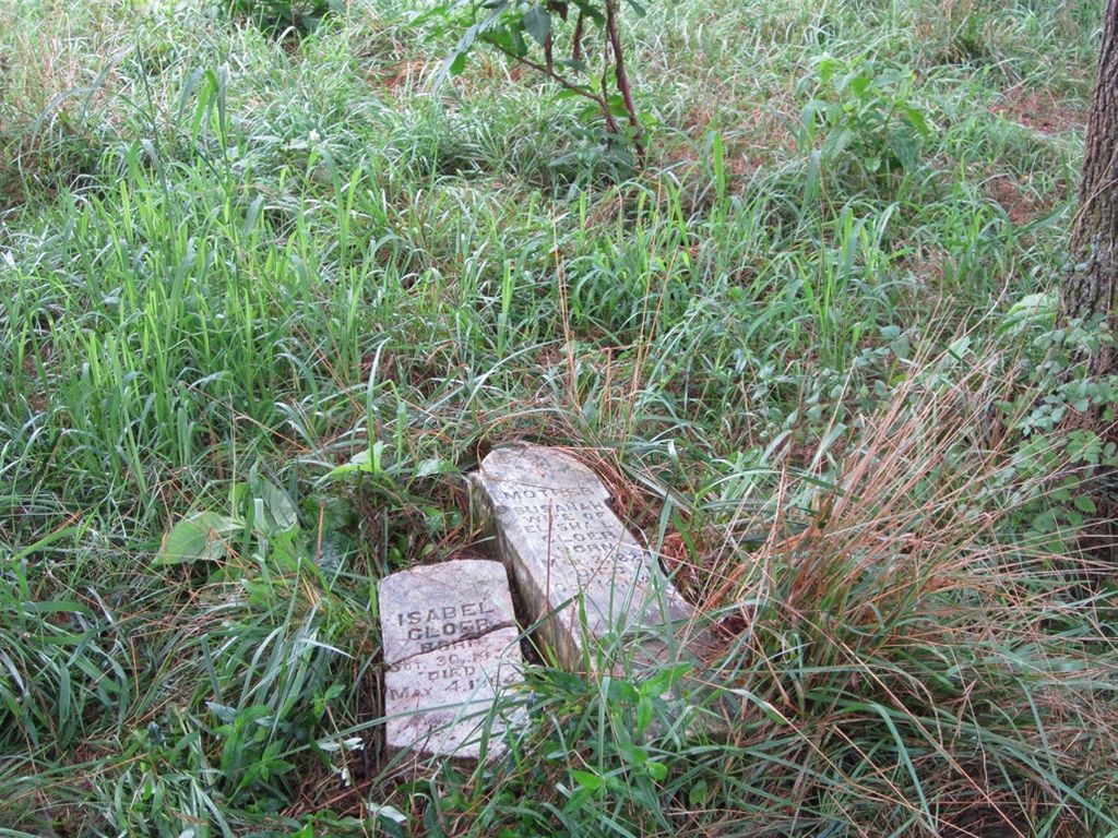
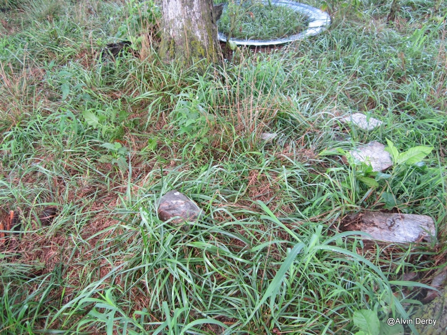
| Description | : | This long abandoned cemetery lies off of the WC 412 highway, close to White River. To reach this cemetery take a right, if going east, off of 412, just before the crossing of White River. This is WC 2062, Vaughan road. If going west ,cross bridge ,go up hill and take a left on the first road.. You will past a driveway on your left, then WC road 2062, and WC road 2122, all of these on your left, At about one mile you will come to a fork of Vaughan road, This will be WC road 3545 and... Read More |
frequently asked questions (FAQ):
-
Where is Cloer-Harp Cemetery?
Cloer-Harp Cemetery is located at Washington County ,Arkansas ,USA.
-
Cloer-Harp Cemetery cemetery's updated grave count on graveviews.com?
1 memorials
-
Where are the coordinates of the Cloer-Harp Cemetery?
Latitude: 36.1537980
Longitude: -94.0177970
Nearby Cemetories:
1. Farrell Family Cemetery
Washington County, USA
Coordinate: 36.1525170, -94.0224950
2. Davis Cemetery
Washington County, USA
Coordinate: 36.1526690, -94.0085080
3. Head Family Cemetery
Washington County, USA
Coordinate: 36.1604800, -94.0120720
4. Carrel Cemetery
Washington County, USA
Coordinate: 36.1638350, -94.0232190
5. Johnson Cemetery
Washington County, USA
Coordinate: 36.1731550, -94.0149680
6. Sonora Cemetery
Sonora, Washington County, USA
Coordinate: 36.1652390, -94.0409630
7. Stone Family Cemetery
Fayetteville, Washington County, USA
Coordinate: 36.1381700, -94.0487200
8. Cloer Cemetery
Mayfield, Washington County, USA
Coordinate: 36.1368280, -93.9864300
9. Joyce Cemetery
Spring Valley, Washington County, USA
Coordinate: 36.1638985, -93.9785995
10. Oxford Bend Cemetery
Fayetteville, Washington County, USA
Coordinate: 36.1018982, -94.0294037
11. Mayfield Cemetery
Washington County, USA
Coordinate: 36.1330986, -93.9567032
12. Habberton Cemetery
Habberton, Washington County, USA
Coordinate: 36.1070830, -94.0512080
13. Butler Ford Cemetery
Hickory Creek, Benton County, USA
Coordinate: 36.2090200, -94.0220300
14. Goshen Cemetery
Goshen, Washington County, USA
Coordinate: 36.1022970, -93.9904810
15. Friendship Cemetery
Springdale, Washington County, USA
Coordinate: 36.1681280, -94.0854990
16. Clark Cemetery
Mayfield, Washington County, USA
Coordinate: 36.1365890, -93.9444430
17. Clark Family Cemetery
Washington County, USA
Coordinate: 36.0902090, -94.0015550
18. Zion Cemetery
Springdale, Washington County, USA
Coordinate: 36.1327100, -94.0962230
19. Spring Valley Cemetery
Spring Valley, Washington County, USA
Coordinate: 36.1741440, -93.9334660
20. Sons Chapel Cemetery
Fayetteville, Washington County, USA
Coordinate: 36.1014610, -94.0816410
21. Oakland Cemetery
Fayetteville, Washington County, USA
Coordinate: 36.1232990, -94.1026670
22. Hickory Creek Cemetery
Creech, Benton County, USA
Coordinate: 36.2289009, -94.0338974
23. Tramell Family Cemetery
Washington County, USA
Coordinate: 36.0798100, -94.0405900
24. Wilson Cemetery
Lowell, Benton County, USA
Coordinate: 36.2108002, -94.0847015