
| Memorials | : | 501 |
| Location | : | Columbia, Richland County, USA |
| Coordinate | : | 34.0244050, -81.0220490 |
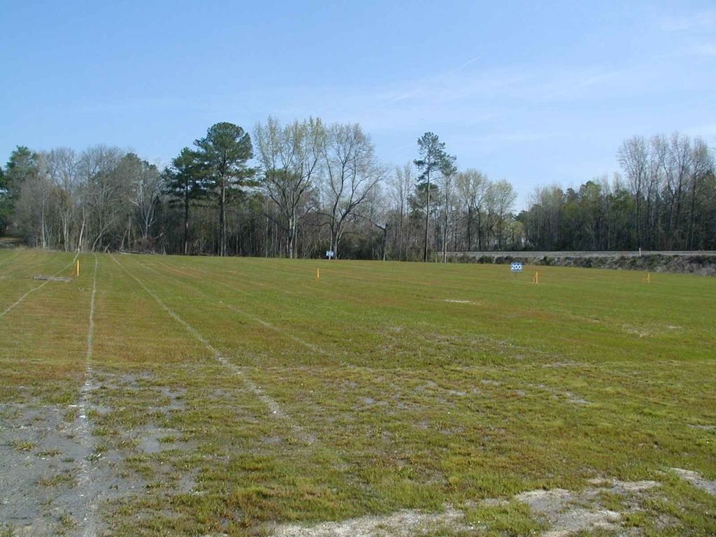
| Description | : | This cemetery was founded around 1910 for the burial of African-American ("Colored") patients of the South Carolina Lunatic Asylum and was located on the Asylum grounds. It was used until 1922. The property is now owned by the City of Columbia and was developed into a golf driving range, the James Clyburn Golf Center, despite a South Carolina law making it a felony to desecrate grave sites. The Chicora Foundation addresses this cemetery in their January 2001 research paper Dealing with Death: The Use and Loss of Cemeteries by the S.C. State Hospital in Columbia, South Carolina. It is available on their... Read More |
frequently asked questions (FAQ):
-
Where is Colored Asylum Cemetery?
Colored Asylum Cemetery is located at Slighs Avenue Columbia, Richland County ,South Carolina ,USA.
-
Colored Asylum Cemetery cemetery's updated grave count on graveviews.com?
500 memorials
-
Where are the coordinates of the Colored Asylum Cemetery?
Latitude: 34.0244050
Longitude: -81.0220490
Nearby Cemetories:
1. Barhamville Cemetery
Columbia, Richland County, USA
Coordinate: 34.0236870, -81.0107570
2. Crescent Hill Memorial Gardens and Mausoleum
Columbia, Richland County, USA
Coordinate: 34.0297012, -81.0089035
3. Geiger Avenue Cemetery
Columbia, Richland County, USA
Coordinate: 34.0228050, -81.0394590
4. Lincoln Cemetery
Columbia, Richland County, USA
Coordinate: 34.0400009, -81.0214005
5. Miller Cemetery
Columbia, Richland County, USA
Coordinate: 34.0321999, -81.0391998
6. Saint Lukes Episcopal Church Memorial Garden
Columbia, Richland County, USA
Coordinate: 34.0082060, -81.0180940
7. Church of the Good Shepherd Memorial Gardens
Columbia, Richland County, USA
Coordinate: 34.0096610, -81.0316160
8. Ebenezer Lutheran Church Cemetery
Columbia, Richland County, USA
Coordinate: 34.0113680, -81.0361220
9. Mount Pleasant United Methodist Church Cemetery
Columbia, Richland County, USA
Coordinate: 34.0101996, -81.0350037
10. First Baptist Church Cemetery
Columbia, Richland County, USA
Coordinate: 34.0062460, -81.0321850
11. First Presbyterian Churchyard
Columbia, Richland County, USA
Coordinate: 34.0041110, -81.0293900
12. Gunter's Chapel Baptist Church Cemetery
Columbia, Richland County, USA
Coordinate: 34.0394590, -81.0028790
13. Saint Peter's Catholic Church Cemetery
Columbia, Richland County, USA
Coordinate: 34.0052900, -81.0384100
14. Douglass Cemetery
Columbia, Richland County, USA
Coordinate: 34.0180340, -81.0492810
15. Saint Peter's Cemetery
Columbia, Richland County, USA
Coordinate: 34.0119200, -81.0488700
16. Hebrew Benevolent Society Cemetery
Columbia, Richland County, USA
Coordinate: 34.0049780, -81.0435680
17. Elmwood Memorial Gardens
Columbia, Richland County, USA
Coordinate: 34.0121000, -81.0523200
18. Promised Land Cemetery
Columbia, Richland County, USA
Coordinate: 34.0423830, -80.9960170
19. Eastminster Presbyterian Church Columbarium
Columbia, Richland County, USA
Coordinate: 34.0079530, -80.9942360
20. Palmetto Cemetery
Columbia, Richland County, USA
Coordinate: 34.0521785, -81.0290293
21. Antioch Baptist Church Cemetery
Columbia, Richland County, USA
Coordinate: 34.0525790, -81.0114780
22. Randolph Cemetery
Columbia, Richland County, USA
Coordinate: 34.0093500, -81.0540800
23. Pine Ridge Cemetery
Columbia, Richland County, USA
Coordinate: 34.0539017, -81.0124969
24. Lincoln Memorial Cemetery
Columbia, Richland County, USA
Coordinate: 34.0532990, -81.0385971