
| Memorials | : | 1 |
| Location | : | Petroleum Center, Venango County, USA |
| Coordinate | : | 41.4969900, -79.6878700 |
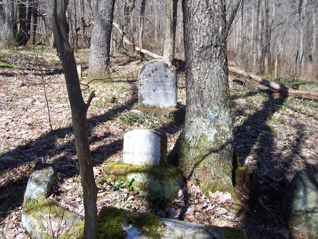
| Description | : | From Oil City go north on Route 8 through Rouseville to Rynd Farm area at the end of the bridge. Turn right onto SR 1007 into Oil Creek State Park. Go about 1 8/10 mile and watch for an old road on the left with a closed gate. Park along the side of the road and walk up the old road. ( There is a second road in the same area, but take the first one) About 800' up the road is an old barn foundation and other abandoned structures. The cemetery is to the right of the barn foundation... Read More |
frequently asked questions (FAQ):
-
Where is Columbia Farm Cemetery?
Columbia Farm Cemetery is located at Petroleum Center, Venango County ,Pennsylvania ,USA.
-
Columbia Farm Cemetery cemetery's updated grave count on graveviews.com?
1 memorials
-
Where are the coordinates of the Columbia Farm Cemetery?
Latitude: 41.4969900
Longitude: -79.6878700
Nearby Cemetories:
1. Rynd Farm Cemetery
Cornplanter Township, Venango County, USA
Coordinate: 41.4840800, -79.6955800
2. Saint Peter and Paul Catholic Cemetery
Petroleum Center, Venango County, USA
Coordinate: 41.5205960, -79.6817780
3. McClintock Cemetery
Venango County, USA
Coordinate: 41.5206000, -79.6802000
4. Irwin Cemetery
Petroleum Center, Venango County, USA
Coordinate: 41.5215220, -79.6806830
5. Petroleum Center Cemetery
Petroleum Center, Venango County, USA
Coordinate: 41.5216000, -79.6805000
6. Kaneville Cemetery
Kaneville, Venango County, USA
Coordinate: 41.5101200, -79.7219900
7. Plumer Cemetery
Plumer, Venango County, USA
Coordinate: 41.5004800, -79.6453100
8. Oakland Seceder Cemetery
Oil City, Venango County, USA
Coordinate: 41.5045280, -79.7301010
9. Bany-Brown-Stewart Cemetery
Oakland Township, Venango County, USA
Coordinate: 41.5253330, -79.7149170
10. Shaw Farm Cemetery
Oil City, Venango County, USA
Coordinate: 41.4592018, -79.6697006
11. Lamey Cemetery
Fosters Corner, Venango County, USA
Coordinate: 41.4919014, -79.7455978
12. Cherrytree Presbyterian Cemetery
Cherrytree Township, Venango County, USA
Coordinate: 41.5406100, -79.7124200
13. Tarr Farm Cemetery
Cherrytree Township, Venango County, USA
Coordinate: 41.5363860, -79.7298220
14. Grove Hill Cemetery
Oil City, Venango County, USA
Coordinate: 41.4314003, -79.6952972
15. Oakland Evangelical Cemetery
Dempseytown, Venango County, USA
Coordinate: 41.5291700, -79.7664200
16. Saint Josephs Cemetery
Oil City, Venango County, USA
Coordinate: 41.4296989, -79.6960983
17. Calvary Cemetery
Oil City, Venango County, USA
Coordinate: 41.4286003, -79.6791992
18. Dempsey Cemetery
Dempseytown, Venango County, USA
Coordinate: 41.5080000, -79.7790000
19. Dempseytown Lutheran Cemetery
Dempseytown, Venango County, USA
Coordinate: 41.5167000, -79.7764000
20. Miller Farm Cemetery
Venango County, USA
Coordinate: 41.5651000, -79.6544000
21. Jamison Corners Cemetery
Cherrytree, Venango County, USA
Coordinate: 41.5692500, -79.6757300
22. Buxton Family Cemetery
Cherrytree, Venango County, USA
Coordinate: 41.5716000, -79.7099000
23. Rossman-Hickman Cemetery
Reno, Venango County, USA
Coordinate: 41.4384150, -79.7572230
24. Sparks Cemetery
Eagle Rock, Venango County, USA
Coordinate: 41.4691650, -79.5837590