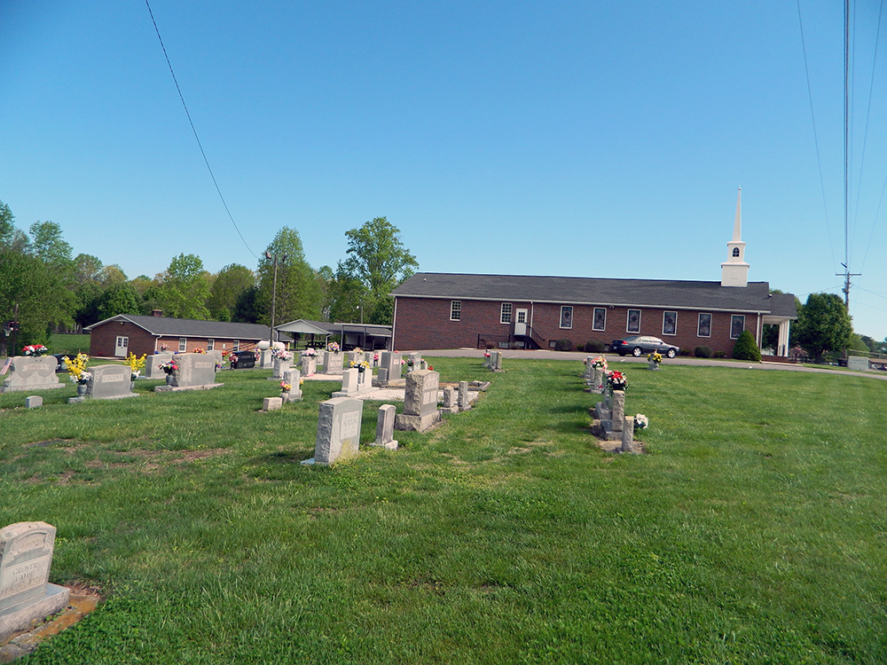
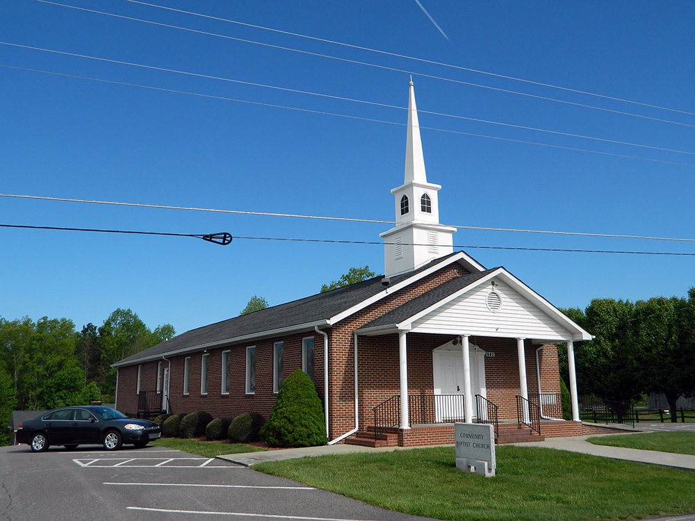
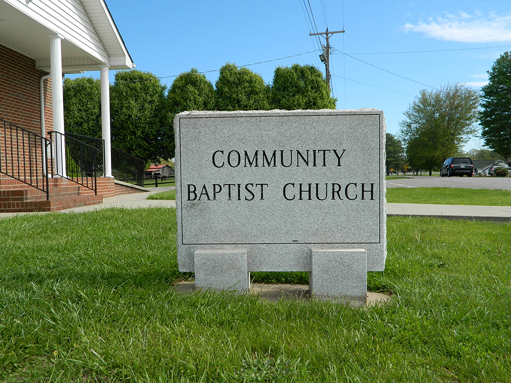
| Memorials | : | 1 |
| Location | : | Red Brush, Surry County, USA |
| Coordinate | : | 36.4713593, -80.7171097 |
| Description | : | From the intersection of Haystack Road and Pine Ridge Road, travel approximately 1.09 miles on Haystack Road; the church and cemetery will be on the right. |
frequently asked questions (FAQ):
-
Where is Community Baptist Church Cemetery?
Community Baptist Church Cemetery is located at 642 Haystack Road Red Brush, Surry County ,North Carolina , 27030USA.
-
Community Baptist Church Cemetery cemetery's updated grave count on graveviews.com?
1 memorials
-
Where are the coordinates of the Community Baptist Church Cemetery?
Latitude: 36.4713593
Longitude: -80.7171097
Nearby Cemetories:
1. Laurel Springs Primitive Baptist Church Cemetery
Pine Ridge, Surry County, USA
Coordinate: 36.4821930, -80.7263031
2. Union Hill Friends Church Cemetery
Red Brush, Surry County, USA
Coordinate: 36.4714410, -80.6956890
3. Tucker Cemetery
Pine Ridge, Surry County, USA
Coordinate: 36.4908889, -80.7153056
4. Tucker Cemetery
Mount Airy, Surry County, USA
Coordinate: 36.4908905, -80.7153091
5. Pine Ridge Baptist Church Cemetery
Pine Ridge, Surry County, USA
Coordinate: 36.4995842, -80.7190552
6. Semper Fi Cemetery
Pine Ridge, Surry County, USA
Coordinate: 36.5010540, -80.7216920
7. Oak Grove Baptist Church Cemetery
Oak Grove (Bottom), Surry County, USA
Coordinate: 36.4788770, -80.7540890
8. Blues Grove Baptist Church Cemetery
Red Brush, Surry County, USA
Coordinate: 36.4382210, -80.7058334
9. McCraw Cemetery
Beulah, Surry County, USA
Coordinate: 36.4671370, -80.7626220
10. Holy Cross Missionary Baptist Church Cemetery
Beulah, Surry County, USA
Coordinate: 36.4702640, -80.7655040
11. Mosley Family Cemetery
Mount Airy, Surry County, USA
Coordinate: 36.4670770, -80.6681230
12. Maple Springs Baptist Church Cemetery
Beulah, Surry County, USA
Coordinate: 36.4627180, -80.7653560
13. Antioch Baptist Church Cemetery
Toast, Surry County, USA
Coordinate: 36.5038872, -80.6841660
14. Masadona Cemetery
Dobson, Surry County, USA
Coordinate: 36.4321940, -80.6973270
15. New Hope Baptist Church Cemetery
New Hope, Surry County, USA
Coordinate: 36.4404170, -80.7542700
16. Surry County Veterans Cemetery
Toast, Surry County, USA
Coordinate: 36.5052800, -80.6835300
17. Old Fisher River Church Cemetery
Dobson, Surry County, USA
Coordinate: 36.4304420, -80.6992580
18. Flat Top Primitive Baptist Church Cemetery
Beulah, Surry County, USA
Coordinate: 36.4570000, -80.7730000
19. Drewery Hodges Cemetery
Dobson, Surry County, USA
Coordinate: 36.4438900, -80.7653900
20. Country Baptist Church Cemetery
Beulah, Surry County, USA
Coordinate: 36.4662230, -80.7760980
21. Dunbar Cemetery
Mount Airy, Surry County, USA
Coordinate: 36.4690010, -80.6567720
22. Copeland Home Graveyard
Dobson, Surry County, USA
Coordinate: 36.4223490, -80.7089350
23. Johnson Family Cemetery
Mount Airy, Surry County, USA
Coordinate: 36.5037500, -80.6698330
24. Westside Baptist Church Cemetery
Toast, Surry County, USA
Coordinate: 36.4859720, -80.6574720


