
| Memorials | : | 3 |
| Location | : | Beulah, Surry County, USA |
| Coordinate | : | 36.4627180, -80.7653560 |
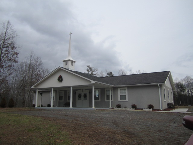
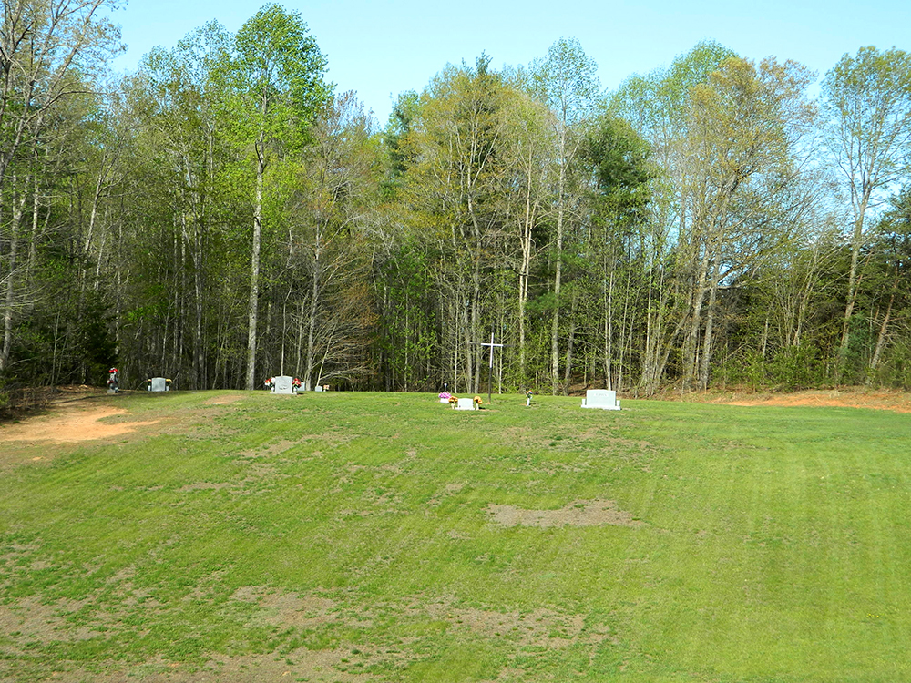
| Description | : | From the intersection of Beulah Road and West Pine Street (NC Highway 89), travel 0.94 miles on Beulah Road; turn left onto Maple Springs Lane. The church will be at the end of Maple Springs Lane; the cemetery is located behind the church. |
frequently asked questions (FAQ):
-
Where is Maple Springs Baptist Church Cemetery?
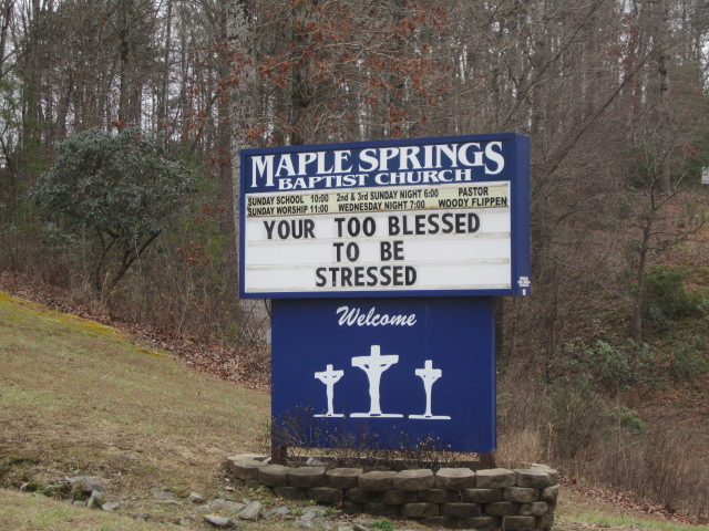
Maple Springs Baptist Church Cemetery is located at 125 Maple Springs Lane Beulah, Surry County ,North Carolina , 27030USA.
-
Maple Springs Baptist Church Cemetery cemetery's updated grave count on graveviews.com?
3 memorials
-
Where are the coordinates of the Maple Springs Baptist Church Cemetery?
Latitude: 36.4627180
Longitude: -80.7653560
Nearby Cemetories:
1. McCraw Cemetery
Beulah, Surry County, USA
Coordinate: 36.4671370, -80.7626220
2. Holy Cross Missionary Baptist Church Cemetery
Beulah, Surry County, USA
Coordinate: 36.4702640, -80.7655040
3. Flat Top Primitive Baptist Church Cemetery
Beulah, Surry County, USA
Coordinate: 36.4570000, -80.7730000
4. Country Baptist Church Cemetery
Beulah, Surry County, USA
Coordinate: 36.4662230, -80.7760980
5. Oak Grove Baptist Church Cemetery
Oak Grove (Bottom), Surry County, USA
Coordinate: 36.4788770, -80.7540890
6. Drewery Hodges Cemetery
Dobson, Surry County, USA
Coordinate: 36.4438900, -80.7653900
7. Llewellyn Cemetery
Dobson, Surry County, USA
Coordinate: 36.4425690, -80.7781150
8. New Hope Baptist Church Cemetery
New Hope, Surry County, USA
Coordinate: 36.4404170, -80.7542700
9. Beamer Family Cemetery
Surry County, USA
Coordinate: 36.4397530, -80.7754330
10. Beulah United Methodist Church Cemetery
Beulah, Surry County, USA
Coordinate: 36.4865160, -80.7795830
11. Speer Family Cemetery
Mount Airy, Surry County, USA
Coordinate: 36.4443333, -80.7945000
12. Nixon Family Cemetery
Surry County, USA
Coordinate: 36.4445830, -80.7949720
13. Moore Family Cemetery
Mount Airy, Surry County, USA
Coordinate: 36.4919910, -80.7741450
14. Mitchell Family Cemetery
Dobson, Surry County, USA
Coordinate: 36.4335920, -80.7815160
15. New Life Baptist Cemetery
Mount Airy, Surry County, USA
Coordinate: 36.4524994, -80.8030548
16. Cox Family Cemetery
Dobson, Surry County, USA
Coordinate: 36.4391700, -80.7983300
17. Central View Missionary Baptist Cemetery
Dobson, Surry County, USA
Coordinate: 36.4272232, -80.7711639
18. Riggans Family Cemetery
Salemfork, Surry County, USA
Coordinate: 36.4314420, -80.7896220
19. Laurel Springs Primitive Baptist Church Cemetery
Pine Ridge, Surry County, USA
Coordinate: 36.4821930, -80.7263031
20. Payne Cemetery
Lowgap, Surry County, USA
Coordinate: 36.4947220, -80.7928060
21. Community Baptist Church Cemetery
Red Brush, Surry County, USA
Coordinate: 36.4713593, -80.7171097
22. Edwards-Franklin House Grounds
Mount Airy, Surry County, USA
Coordinate: 36.4541664, -80.8181915
23. Sarah Isaacs Cemetery
Franklin, Surry County, USA
Coordinate: 36.4636110, -80.8205830
24. Isaacks Family Cemetery
Mount Airy, Surry County, USA
Coordinate: 36.4621670, -80.8236670