| Memorials | : | 4 |
| Location | : | Lemitar, Socorro County, USA |
| Coordinate | : | 34.1593900, -106.9123100 |
| Description | : | This burial site is 300 meters southwest of the Sagrada Familia de Lemitar Chuch; 700 meters east of Interstate Highway 25. From "A Cultural Resource Investigation of Two Historic Sites in Lemitar, New Mexico" by Don Scurlock. Bureau of Land Management, Socorro, NM, 1982. Library of Congress Call # F 804 L46 S29 1982. "Only ten extant complete wood or stone grave markers were recorded during mapping, although a possible 161 more graves were located and are represented by remnants of wooden crosses, posts, depressions, dirt or cobble mounds & cobble scatters.... All of the graves were oriented east-west with the marker... Read More |
frequently asked questions (FAQ):
-
Where is Composanto Viejo Cemetery?
Composanto Viejo Cemetery is located at Lemitar, Socorro County ,New Mexico ,USA.
-
Composanto Viejo Cemetery cemetery's updated grave count on graveviews.com?
4 memorials
-
Where are the coordinates of the Composanto Viejo Cemetery?
Latitude: 34.1593900
Longitude: -106.9123100
Nearby Cemetories:
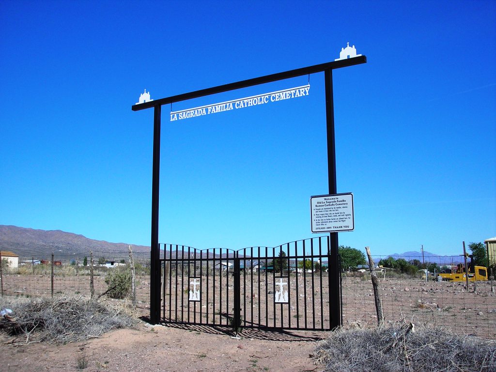
1. La Sagrada Familia Catholic Cemetery
Lemitar, Socorro County, USA
Coordinate: 34.1583470, -106.9167910
2. San Lorenzo Cemetery
Polvadera, Socorro County, USA
Coordinate: 34.2047005, -106.9210968
3. Shelton Family Cemetery
Polvadera, Socorro County, USA
Coordinate: 34.2090200, -106.9270100
4. Escondida Cemetery
Escondida, Socorro County, USA
Coordinate: 34.1008900, -106.8990100
5. San Miguel de Socorro Churchyard
Socorro County, USA
Coordinate: 34.0605000, -106.8935000
6. San Acacia Cemetery
San Acacia, Socorro County, USA
Coordinate: 34.2578700, -106.8905400
7. Old San Miguel Mission
Socorro, Socorro County, USA
Coordinate: 34.0604600, -106.8937400
8. Socorro Cemetery
Socorro, Socorro County, USA
Coordinate: 34.0589790, -106.9072037
9. San Miguel Cemetery
Socorro, Socorro County, USA
Coordinate: 34.0583000, -106.9011002
10. Confederate Soldier Burial Site
Socorro County, USA
Coordinate: 34.0563060, -106.9029170
11. Luis Lopez Cemetery
Luis Lopez, Socorro County, USA
Coordinate: 33.9924000, -106.8885800
12. La Joya Cemetery
Socorro County, USA
Coordinate: 34.3424988, -106.8399963
13. Bosquecito Cemetery
Bosquecito, Socorro County, USA
Coordinate: 33.9733000, -106.8415000
14. Contreras Cemetery
Socorro County, USA
Coordinate: 34.3800100, -106.8105100
15. San Antonio Roman Catholic Cemetery
San Antonio, Socorro County, USA
Coordinate: 33.9187500, -106.8662600
16. San Francisco Village Cemetery
San Francisco, Socorro County, USA
Coordinate: 34.3960000, -106.8390000
17. San Pedro Cemetery
San Antonio, Socorro County, USA
Coordinate: 33.9155400, -106.8406400
18. Kelly Cemetery
Kelly, Socorro County, USA
Coordinate: 34.0847000, -107.2056000
19. San Antonito Cemetery
San Antonio, Socorro County, USA
Coordinate: 33.8894800, -106.8785900
20. Magdalena Community Cemetery
Magdalena, Socorro County, USA
Coordinate: 34.1241690, -107.2389220
21. Carthage Cemetery
Socorro County, USA
Coordinate: 33.8842010, -106.7253036
22. San Antonio Cemetery
Abeytas, Socorro County, USA
Coordinate: 34.4681015, -106.8158035
23. San Isidro Catholic Cemetery
Las Nutrias, Socorro County, USA
Coordinate: 34.4667600, -106.7717600
24. Santa Rita Catholic Cemetery
Riley, Socorro County, USA
Coordinate: 34.3813060, -107.2317980


