
| Memorials | : | 0 |
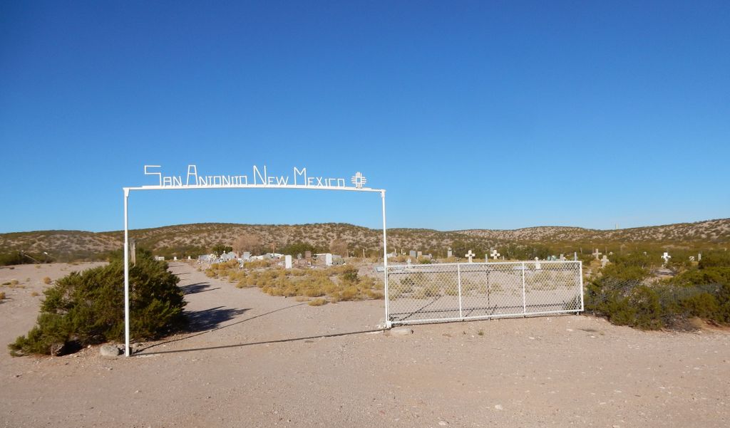
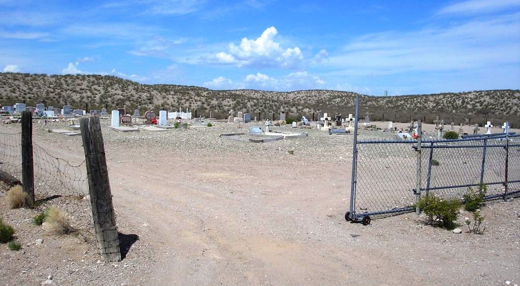
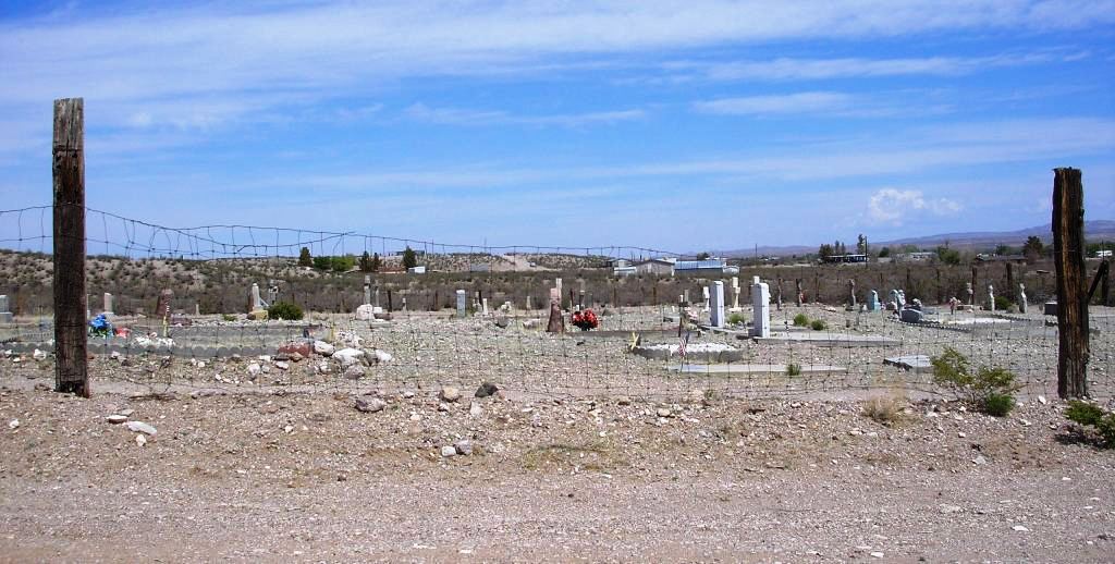
| Location | : | San Antonio, Socorro County, USA |
| Coordinate | : | 33.8894800, -106.8785900 |
| Description | : | At the intersection of 380 and 1 (blinking light) go south 2 miles to San Antonio Road, on the right. Go west ½ mile to cemetery. Stay right at the Y. The San Antonito (small Antonio) Cemetery is in the district of the San Antonio Catholic Church in the village San Antonio, NM. This is a mission church in the San Miguel Parish located in the town of Socorro, NM. See San Antonio Catholic Church – San Antonio for the main cemetery. |
frequently asked questions (FAQ):
-
Where is San Antonito Cemetery?
San Antonito Cemetery is located at San Antonio, Socorro County ,New Mexico ,USA.
-
San Antonito Cemetery cemetery's updated grave count on graveviews.com?
0 memorials
-
Where are the coordinates of the San Antonito Cemetery?
Latitude: 33.8894800
Longitude: -106.8785900
Nearby Cemetories:
1. San Antonio Roman Catholic Cemetery
San Antonio, Socorro County, USA
Coordinate: 33.9187500, -106.8662600
2. San Pedro Cemetery
San Antonio, Socorro County, USA
Coordinate: 33.9155400, -106.8406400
3. Bosquecito Cemetery
Bosquecito, Socorro County, USA
Coordinate: 33.9733000, -106.8415000
4. Luis Lopez Cemetery
Luis Lopez, Socorro County, USA
Coordinate: 33.9924000, -106.8885800
5. Carthage Cemetery
Socorro County, USA
Coordinate: 33.8842010, -106.7253036
6. Confederate Soldier Burial Site
Socorro County, USA
Coordinate: 34.0563060, -106.9029170
7. San Miguel Cemetery
Socorro, Socorro County, USA
Coordinate: 34.0583000, -106.9011002
8. Socorro Cemetery
Socorro, Socorro County, USA
Coordinate: 34.0589790, -106.9072037
9. Old San Miguel Mission
Socorro, Socorro County, USA
Coordinate: 34.0604600, -106.8937400
10. San Miguel de Socorro Churchyard
Socorro County, USA
Coordinate: 34.0605000, -106.8935000
11. Val Verde Cemetery
Val Verde, Socorro County, USA
Coordinate: 33.7014500, -106.9279200
12. San Marcial Cemetery
San Marcial, Socorro County, USA
Coordinate: 33.7005110, -106.9888050
13. Escondida Cemetery
Escondida, Socorro County, USA
Coordinate: 34.1008900, -106.8990100
14. Gonzales Cemetery
San Marcial, Socorro County, USA
Coordinate: 33.6934662, -106.9982834
15. Contadero Cemetery
San Marcial, Socorro County, USA
Coordinate: 33.6503868, -106.9876938
16. La Sagrada Familia Catholic Cemetery
Lemitar, Socorro County, USA
Coordinate: 34.1583470, -106.9167910
17. Composanto Viejo Cemetery
Lemitar, Socorro County, USA
Coordinate: 34.1593900, -106.9123100
18. Fort Craig Cemetery (Defunct)
Socorro County, USA
Coordinate: 33.6306000, -107.0111008
19. San Lorenzo Cemetery
Polvadera, Socorro County, USA
Coordinate: 34.2047005, -106.9210968
20. Shelton Family Cemetery
Polvadera, Socorro County, USA
Coordinate: 34.2090200, -106.9270100
21. Kelly Cemetery
Kelly, Socorro County, USA
Coordinate: 34.0847000, -107.2056000
22. San Acacia Cemetery
San Acacia, Socorro County, USA
Coordinate: 34.2578700, -106.8905400
23. Magdalena Community Cemetery
Magdalena, Socorro County, USA
Coordinate: 34.1241690, -107.2389220
24. Rosedale Cemetery
Magdalena, Socorro County, USA
Coordinate: 33.8082200, -107.3862300