
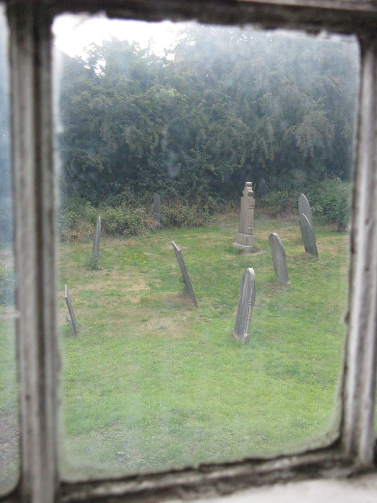
| Memorials | : | 0 |
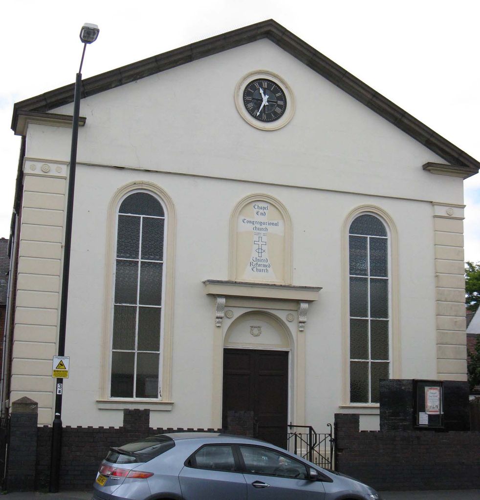
| Location | : | Hartshill, North Warwickshire Borough, England |
| Coordinate | : | 52.5375900, -1.5227530 |
| Description | : | The church final service was in January 2014. |
frequently asked questions (FAQ):
-
Where is Congregational Church Burial Ground?
Congregational Church Burial Ground is located at Coleshill Road Hartshill, North Warwickshire Borough ,Warwickshire ,England.
-
Congregational Church Burial Ground cemetery's updated grave count on graveviews.com?
0 memorials
-
Where are the coordinates of the Congregational Church Burial Ground?
Latitude: 52.5375900
Longitude: -1.5227530
Nearby Cemetories:
1. Hartshill Cemetery
Hartshill, North Warwickshire Borough, England
Coordinate: 52.5440860, -1.5225490
2. Bucks Hill Cemetery
Stockingford, Nuneaton and Bedworth Borough, England
Coordinate: 52.5317650, -1.5175750
3. Friends Meeting House
Hartshill, North Warwickshire Borough, England
Coordinate: 52.5479560, -1.5204940
4. St Paul's Churchyard
Stockingford, Nuneaton and Bedworth Borough, England
Coordinate: 52.5191000, -1.5100000
5. St. Theobald & St. Chad Churchyard
Caldecote, Nuneaton and Bedworth Borough, England
Coordinate: 52.5528940, -1.4871720
6. Mancetter Cemetery
Mancetter, North Warwickshire Borough, England
Coordinate: 52.5664850, -1.5273480
7. St Peter Churchyard
Mancetter, North Warwickshire Borough, England
Coordinate: 52.5670920, -1.5285640
8. Abbey Church
Nuneaton, Nuneaton and Bedworth Borough, England
Coordinate: 52.5256800, -1.4770800
9. Saint James' Churchyard
Nuneaton, Nuneaton and Bedworth Borough, England
Coordinate: 52.5387900, -1.4715000
10. St James Churchyard
Weddington, Nuneaton and Bedworth Borough, England
Coordinate: 52.5387160, -1.4711740
11. St Laurence Churchyard
Ansley, North Warwickshire Borough, England
Coordinate: 52.5308620, -1.5737380
12. St Peter's Churchyard
Witherley, Hinckley and Bosworth Borough, England
Coordinate: 52.5728260, -1.5213970
13. St. Mary the Virgin Churchyard
Astley, North Warwickshire Borough, England
Coordinate: 52.5019060, -1.5432740
14. Erdbury Priory
Arbury, Nuneaton and Bedworth Borough, England
Coordinate: 52.5002190, -1.5074930
15. Our Lady of the Angels Catholic Church
Nuneaton, Nuneaton and Bedworth Borough, England
Coordinate: 52.5174450, -1.4667010
16. St Nicolas Churchyard
Nuneaton, Nuneaton and Bedworth Borough, England
Coordinate: 52.5214150, -1.4626130
17. St Michael and All Angels Churchyard
Fenny Drayton, Hinckley and Bosworth Borough, England
Coordinate: 52.5707200, -1.4845060
18. Oaston Road Cemetery
Nuneaton, Nuneaton and Bedworth Borough, England
Coordinate: 52.5244040, -1.4574020
19. All Saints Churchyard
Chilvers Coton, Nuneaton and Bedworth Borough, England
Coordinate: 52.5133100, -1.4659600
20. St Mary's
Atherstone, North Warwickshire Borough, England
Coordinate: 52.5785037, -1.5462105
21. St. Michaels Parish Church
Arley, North Warwickshire Borough, England
Coordinate: 52.5038140, -1.5703530
22. St Michael's Church
Coventry, Metropolitan Borough of Coventry, England
Coordinate: 52.5036300, -1.5707400
23. St Wilfreds Parish Churchyard
Arley, North Warwickshire Borough, England
Coordinate: 52.5125900, -1.5846500
24. Merevale Abbey
Merevale, North Warwickshire Borough, England
Coordinate: 52.5745240, -1.5661370