
| Memorials | : | 0 |
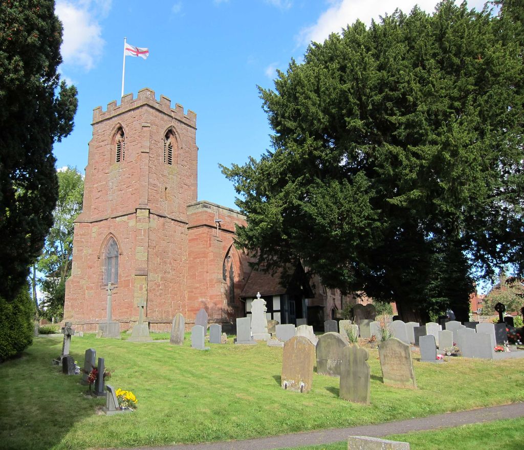
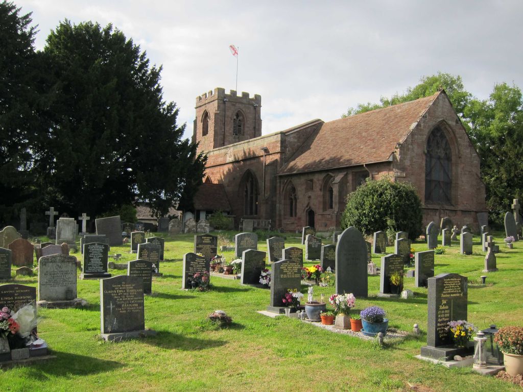
| Location | : | Arley, North Warwickshire Borough, England |
| Coordinate | : | 52.5125900, -1.5846500 |
frequently asked questions (FAQ):
-
Where is St Wilfreds Parish Churchyard?
St Wilfreds Parish Churchyard is located at Rectory Road Arley, North Warwickshire Borough ,Warwickshire ,England.
-
St Wilfreds Parish Churchyard cemetery's updated grave count on graveviews.com?
0 memorials
-
Where are the coordinates of the St Wilfreds Parish Churchyard?
Latitude: 52.5125900
Longitude: -1.5846500
Nearby Cemetories:
1. St Josephs Roman Catholic Church
Arley, North Warwickshire Borough, England
Coordinate: 52.5013130, -1.5769780
2. St Michael's Church
Coventry, Metropolitan Borough of Coventry, England
Coordinate: 52.5036300, -1.5707400
3. St. Michaels Parish Church
Arley, North Warwickshire Borough, England
Coordinate: 52.5038140, -1.5703530
4. St Laurence Churchyard
Ansley, North Warwickshire Borough, England
Coordinate: 52.5308620, -1.5737380
5. St. Leonard Churchyard
Over Whitacre, North Warwickshire Borough, England
Coordinate: 52.5163500, -1.6266000
6. St. Mary the Virgin Churchyard
Astley, North Warwickshire Borough, England
Coordinate: 52.5019060, -1.5432740
7. St Mary & All Saints Churchyard
Fillongley, North Warwickshire Borough, England
Coordinate: 52.4817860, -1.5878250
8. St Cuthbert Churchyard
Shustoke, North Warwickshire Borough, England
Coordinate: 52.5162210, -1.6434000
9. Bucks Hill Cemetery
Stockingford, Nuneaton and Bedworth Borough, England
Coordinate: 52.5317650, -1.5175750
10. Congregational Church Burial Ground
Hartshill, North Warwickshire Borough, England
Coordinate: 52.5375900, -1.5227530
11. St Paul's Churchyard
Stockingford, Nuneaton and Bedworth Borough, England
Coordinate: 52.5191000, -1.5100000
12. Erdbury Priory
Arbury, Nuneaton and Bedworth Borough, England
Coordinate: 52.5002190, -1.5074930
13. Hartshill Cemetery
Hartshill, North Warwickshire Borough, England
Coordinate: 52.5440860, -1.5225490
14. St Giles Churchyard
Nether Whitacre, North Warwickshire Borough, England
Coordinate: 52.5329400, -1.6606670
15. Corley Parish Churchyard
Corley, North Warwickshire Borough, England
Coordinate: 52.4632100, -1.5577050
16. Friends Meeting House
Hartshill, North Warwickshire Borough, England
Coordinate: 52.5479560, -1.5204940
17. St Michael & All Angels Churchyard
Maxstoke, North Warwickshire Borough, England
Coordinate: 52.4791940, -1.6541150
18. Hurley Cemetery
Hurley, North Warwickshire Borough, England
Coordinate: 52.5633880, -1.6357620
19. Baxterley Churchyard
Baxterley, North Warwickshire Borough, England
Coordinate: 52.5709500, -1.6233700
20. Merevale Abbey
Merevale, North Warwickshire Borough, England
Coordinate: 52.5745240, -1.5661370
21. Mancetter Cemetery
Mancetter, North Warwickshire Borough, England
Coordinate: 52.5664850, -1.5273480
22. St Peter Churchyard
Mancetter, North Warwickshire Borough, England
Coordinate: 52.5670920, -1.5285640
23. Abbey Church
Nuneaton, Nuneaton and Bedworth Borough, England
Coordinate: 52.5256800, -1.4770800
24. St Mary's
Atherstone, North Warwickshire Borough, England
Coordinate: 52.5785037, -1.5462105