| Memorials | : | 25 |
| Location | : | Jewell County, USA |
| Coordinate | : | 39.9448800, -98.3527500 |
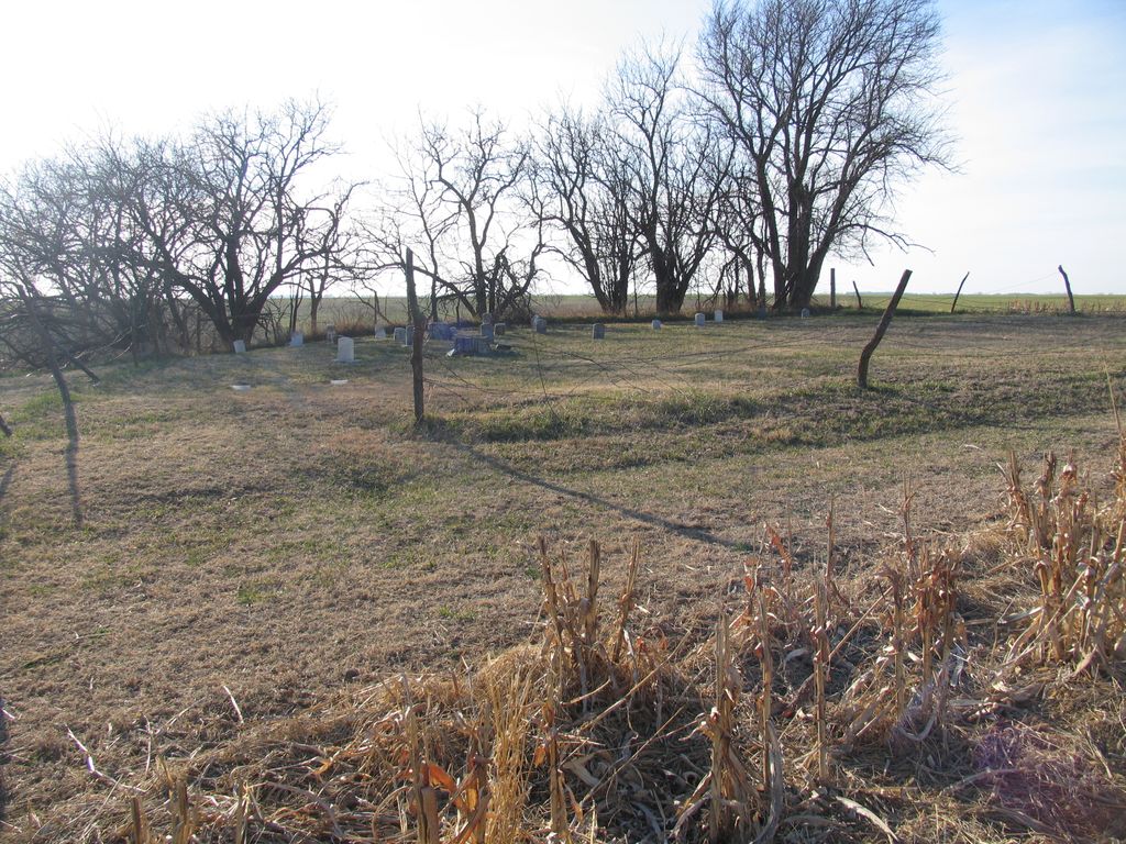
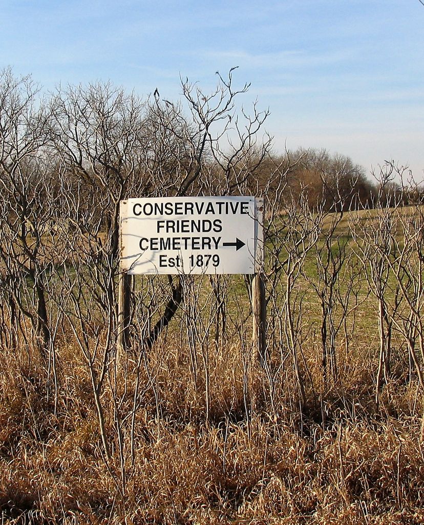
| Description | : | n 1879, a small Quaker group from the Walnut Creek Monthly Meeting (formed in 1873) branched off and formed the Conservative Preparative Meeting. Conservative Friends adhered to the teachings of the 18th century, while other Preparative Meetings in the area were considered Progressive - Quakers who were gradually accepting of new ideas, such as the pastoral system, music in worship services, and families sitting together instead of separating the men and women during worship services. The Conservatives first meeting house was a dugout, later replaced by a frame building. The adjacent cemetery is in the southwest... Read More |
frequently asked questions (FAQ):
-
Where is Conservative Friends Cemetery?
Conservative Friends Cemetery is located at Jewell County ,Kansas ,USA.
-
Conservative Friends Cemetery cemetery's updated grave count on graveviews.com?
25 memorials
-
Where are the coordinates of the Conservative Friends Cemetery?
Latitude: 39.9448800
Longitude: -98.3527500
Nearby Cemetories:
1. Walnut Creek Friends Cemetery
Northbranch, Jewell County, USA
Coordinate: 39.9298800, -98.3436400
2. Northbranch Friends Cemetery
Northbranch, Jewell County, USA
Coordinate: 39.9728300, -98.3708300
3. Oak Creek Cemetery
Jewell County, USA
Coordinate: 39.9014015, -98.3918991
4. Highland Cemetery
Jewell County, USA
Coordinate: 39.9660988, -98.4300003
5. Maple Grove Cemetery
Guide Rock, Webster County, USA
Coordinate: 40.0106010, -98.3482971
6. Providence Cemetery
Jewell County, USA
Coordinate: 39.8866997, -98.4008026
7. Old Highland Township Cemetery
Jewell County, USA
Coordinate: 39.9430600, -98.4458900
8. German Baptist Brethren Cemetery I
Burr Oak, Jewell County, USA
Coordinate: 39.8787900, -98.2955400
9. Baker Cemetery
Jewell County, USA
Coordinate: 39.8581009, -98.3617020
10. German Baptist Brethren Cemetery II
Burr Oak, Jewell County, USA
Coordinate: 39.8720860, -98.2786470
11. Amity Cemetery
Jewell County, USA
Coordinate: 39.9153170, -98.4673780
12. Burr Oak Cemetery
Burr Oak, Jewell County, USA
Coordinate: 39.8652992, -98.2846985
13. German Kellner Cemetery
Webber, Jewell County, USA
Coordinate: 39.9437828, -98.2119141
14. Shaffer Cemetery
Mankato, Jewell County, USA
Coordinate: 39.9514008, -98.2118988
15. Wagoner Cemetery
Red Cloud, Webster County, USA
Coordinate: 40.0307999, -98.4488983
16. Columbia Cemetery
Guide Rock, Webster County, USA
Coordinate: 40.0499992, -98.2932968
17. Webb Hill Cemetery
Lebanon, Smith County, USA
Coordinate: 39.9520200, -98.5045200
18. Cleveland Cemetery
Webber, Jewell County, USA
Coordinate: 39.9305992, -98.1939011
19. Salem Cemetery
Esbon, Jewell County, USA
Coordinate: 39.8755989, -98.5006027
20. Martin Cemetery
Webster County, USA
Coordinate: 40.0606003, -98.4518967
21. Guide Rock Cemetery
Guide Rock, Webster County, USA
Coordinate: 40.0811005, -98.3125000
22. Esbon Cemetery
Esbon, Jewell County, USA
Coordinate: 39.8143997, -98.4199982
23. Prairie Home Cemetery
Esbon, Jewell County, USA
Coordinate: 39.8278008, -98.4661026
24. Olive Hill Cemetery
Webber, Jewell County, USA
Coordinate: 39.9516983, -98.1568985


