
| Memorials | : | 2 |
| Location | : | Cottonwood, Shasta County, USA |
| Coordinate | : | 40.3663100, -122.2598800 |
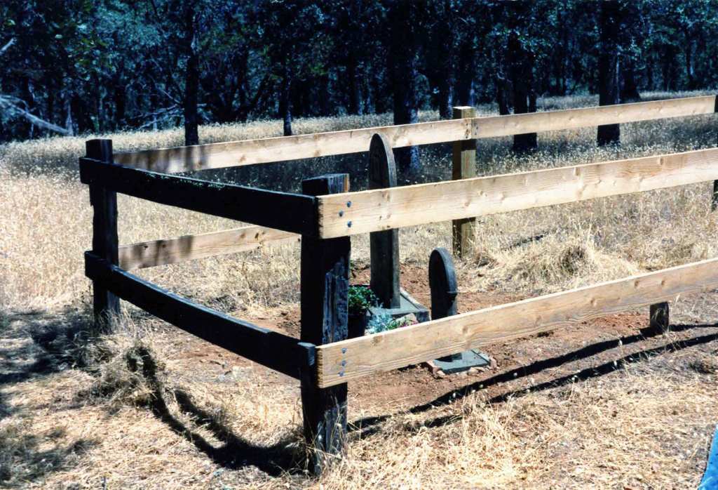
| Description | : | Hilltop on Cottonwood Creek Ranch |
frequently asked questions (FAQ):
-
Where is Cottonwood Creek Ranch Cemetery?
Cottonwood Creek Ranch Cemetery is located at Lake California Drive Cottonwood, Shasta County ,California , 96022USA.
-
Cottonwood Creek Ranch Cemetery cemetery's updated grave count on graveviews.com?
2 memorials
-
Where are the coordinates of the Cottonwood Creek Ranch Cemetery?
Latitude: 40.3663100
Longitude: -122.2598800
Nearby Cemetories:
1. Cottonwood Cemetery
Cottonwood, Shasta County, USA
Coordinate: 40.3856100, -122.2936500
2. Major Pierson B Reading Family Cemetery
Cottonwood, Shasta County, USA
Coordinate: 40.3924300, -122.2126900
3. Sleepy Hollow Pet Cemetery
Anderson, Shasta County, USA
Coordinate: 40.4199430, -122.2858410
4. Oddfellows Cemetery
Anderson, Shasta County, USA
Coordinate: 40.4431590, -122.2907070
5. Anderson District Cemetery
Anderson, Shasta County, USA
Coordinate: 40.4419518, -122.2967300
6. Anderson Pioneer Cemetery
Anderson, Shasta County, USA
Coordinate: 40.4439011, -122.2904968
7. Inks Creek Cemetery
Tehama County, USA
Coordinate: 40.3419800, -122.1297100
8. Parkville Cemetery
Anderson, Shasta County, USA
Coordinate: 40.4640200, -122.1897500
9. Haggard Family Ranch Cemetery
Palo Cedro, Shasta County, USA
Coordinate: 40.5105600, -122.2227800
10. Bates Pioneer Cemetery
Shasta County, USA
Coordinate: 40.5348816, -122.2968674
11. Happy Valley Cemetery
Redding, Shasta County, USA
Coordinate: 40.4668999, -122.4535980
12. Beck Cemetery
Shasta County, USA
Coordinate: 40.5487400, -122.1720900
13. Saint Mary's Cemetery
Red Bluff, Tehama County, USA
Coordinate: 40.1716995, -122.2521973
14. Red Bluff Memorial Chapel Mausoleum & Columbarium
Red Bluff, Tehama County, USA
Coordinate: 40.1717130, -122.2466860
15. Oak Hill Cemetery
Red Bluff, Tehama County, USA
Coordinate: 40.1699982, -122.2433014
16. Millville Masonic Cemetery
Millville, Shasta County, USA
Coordinate: 40.5555000, -122.1842804
17. Pinckney Cemetery
Cottonwood, Shasta County, USA
Coordinate: 40.3997002, -122.5180969
18. Millville IOOF Cemetery
Millville, Shasta County, USA
Coordinate: 40.5539017, -122.1663971
19. Texas Springs Cemetery
Redding, Shasta County, USA
Coordinate: 40.5116844, -122.4516144
20. Shasta General Hospital Cemetery
Redding, Shasta County, USA
Coordinate: 40.5509200, -122.3841800
21. Shasta General Hospital Cemetery
Redding, Shasta County, USA
Coordinate: 40.5516000, -122.3894000
22. Lawncrest Memorial Park
Redding, Shasta County, USA
Coordinate: 40.5732994, -122.3432999
23. Lanes Valley Cemetery
Paynes Creek, Tehama County, USA
Coordinate: 40.3998400, -121.9762400
24. Barbara Glass Gravesite
Shasta County, USA
Coordinate: 40.5067600, -122.5049700