
| Memorials | : | 0 |
| Location | : | Grayson County, USA |
| Coordinate | : | 36.5902290, -81.0661090 |
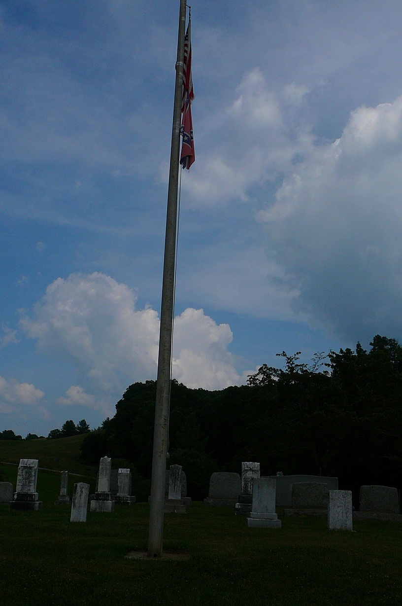
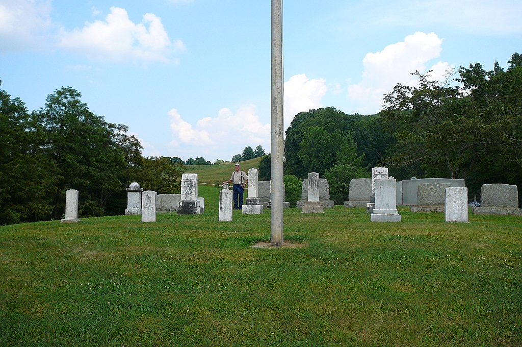
| Description | : | Directions: This is on the north side of Rt. 629 (Little River Road), 1.1 miles from its intersection with Rt. 626 (Old Baywood Road). GPS Coordinates: N36.590229 W81.066109 Surveyed by: Tracy Farmer McMillon on 26 Mar 2001, Paul Herndon in Jun 1995; updated by Buford C. Wilson on 8 Apr 2008. Comments: The cemetery was called the Cox Cemetery, the Peach Bottom Methodist Church Cemetery and now it is referred to as the Shaw Cemetery. Several of the people buried here were members of the old Peach Bottom Methodist Church which stood nearby. This information came from New River Notes. |
frequently asked questions (FAQ):
-
Where is Cox-Shaw Cemetery?
Cox-Shaw Cemetery is located at Grayson County ,Virginia ,USA.
-
Cox-Shaw Cemetery cemetery's updated grave count on graveviews.com?
0 memorials
-
Where are the coordinates of the Cox-Shaw Cemetery?
Latitude: 36.5902290
Longitude: -81.0661090
Nearby Cemetories:
1. Little Sam Cox Cemetery
Peach Bottom, Grayson County, USA
Coordinate: 36.5906800, -81.0717700
2. Jackie Blevins Family Cemetery
Delhart, Grayson County, USA
Coordinate: 36.5955020, -81.0539700
3. Coomes Cemetery
Baywood, Grayson County, USA
Coordinate: 36.5808970, -81.0565870
4. John Blevins Cemetery
Peach Bottom, Grayson County, USA
Coordinate: 36.5954100, -81.0493300
5. Andrew Hampton Cemetery
Grayson County, USA
Coordinate: 36.6044000, -81.0760100
6. Ephraim Gentry Cemetery
Grayson County, USA
Coordinate: 36.5810680, -81.0902480
7. David Nichols Family Cemetery
Baywood, Grayson County, USA
Coordinate: 36.5726960, -81.0402210
8. Lt. David Cox Cemetery
Baywood, Grayson County, USA
Coordinate: 36.5711000, -81.0961000
9. Austin-Murray Cemetery
Baywood, Grayson County, USA
Coordinate: 36.5888900, -81.0277800
10. Pleasant Grove Baptist Church Cemetery
Independence, Grayson County, USA
Coordinate: 36.6088660, -81.0972000
11. Johnson Family Farm Cemetery
Oldtown, Grayson County, USA
Coordinate: 36.5709160, -81.0348010
12. Whitaker Family Cemetery
Baywood, Grayson County, USA
Coordinate: 36.5932200, -81.0243800
13. Chesley Cheek Cemetery
Edwards Crossroads, Alleghany County, USA
Coordinate: 36.5614720, -81.0427220
14. John Collins Cemetery
Baywood, Grayson County, USA
Coordinate: 36.6163700, -81.0349260
15. Lt George Reeves Cemetery
Grayson County, USA
Coordinate: 36.5782260, -81.1094430
16. McKnight Cemetery
Grayson County, USA
Coordinate: 36.5983490, -81.0207970
17. Andrews Cemetery
Grayson County, USA
Coordinate: 36.5733740, -81.0235500
18. Meredith Cheek Cemetery
Edwards Crossroads, Alleghany County, USA
Coordinate: 36.5625100, -81.0311900
19. John D. Robinson Cemetery
Baywood, Grayson County, USA
Coordinate: 36.6143900, -81.0270200
20. Robinson - Fields Cemetery
Baywood, Grayson County, USA
Coordinate: 36.6131706, -81.0254135
21. Berry Anders Cemetery
Independence, Grayson County, USA
Coordinate: 36.5841060, -81.1155000
22. Andrew Higgins Farm Cemetery
Baywood, Grayson County, USA
Coordinate: 36.5954400, -81.0152800
23. Baywood Methodist Church Cemetery
Baywood, Grayson County, USA
Coordinate: 36.6076950, -81.0173970
24. Randolph Collins Cemetery
Baywood, Grayson County, USA
Coordinate: 36.5820400, -81.0134230