
| Memorials | : | 5 |
| Location | : | Grayson County, USA |
| Coordinate | : | 36.6044000, -81.0760100 |
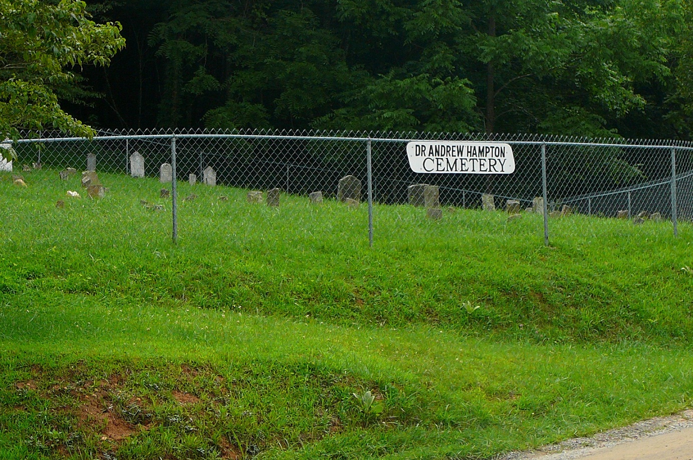
| Description | : | This cemetery is East of Independence, beside Pleasant Grove Road (Rt 715) 2.6 miles south of its eastern intersection (near New River bridge) with Grayson Parkway (US 58). GPS Coordinates: N36.60440 W81.07601 From New River Notes. |
frequently asked questions (FAQ):
-
Where is Andrew Hampton Cemetery?
Andrew Hampton Cemetery is located at Grayson County ,Virginia ,USA.
-
Andrew Hampton Cemetery cemetery's updated grave count on graveviews.com?
5 memorials
-
Where are the coordinates of the Andrew Hampton Cemetery?
Latitude: 36.6044000
Longitude: -81.0760100
Nearby Cemetories:
1. Little Sam Cox Cemetery
Peach Bottom, Grayson County, USA
Coordinate: 36.5906800, -81.0717700
2. Cox-Shaw Cemetery
Grayson County, USA
Coordinate: 36.5902290, -81.0661090
3. Pleasant Grove Baptist Church Cemetery
Independence, Grayson County, USA
Coordinate: 36.6088660, -81.0972000
4. Jackie Blevins Family Cemetery
Delhart, Grayson County, USA
Coordinate: 36.5955020, -81.0539700
5. John Blevins Cemetery
Peach Bottom, Grayson County, USA
Coordinate: 36.5954100, -81.0493300
6. Ephraim Gentry Cemetery
Grayson County, USA
Coordinate: 36.5810680, -81.0902480
7. Coomes Cemetery
Baywood, Grayson County, USA
Coordinate: 36.5808970, -81.0565870
8. John Collins Cemetery
Baywood, Grayson County, USA
Coordinate: 36.6163700, -81.0349260
9. Rock Creek Primitive Baptist Church Cemetery
Independence, Grayson County, USA
Coordinate: 36.6311000, -81.1061900
10. James Galyean Family Cemetery
Grayson County, USA
Coordinate: 36.6405390, -81.0662110
11. Lt. David Cox Cemetery
Baywood, Grayson County, USA
Coordinate: 36.5711000, -81.0961000
12. Lt George Reeves Cemetery
Grayson County, USA
Coordinate: 36.5782260, -81.1094430
13. Berry Anders Cemetery
Independence, Grayson County, USA
Coordinate: 36.5841060, -81.1155000
14. Wiley Davis Family Cemetery
Independence, Grayson County, USA
Coordinate: 36.6313630, -81.0416350
15. John D. Robinson Cemetery
Baywood, Grayson County, USA
Coordinate: 36.6143900, -81.0270200
16. Hall Cemetery
Grayson County, USA
Coordinate: 36.6285830, -81.1168500
17. Robinson - Fields Cemetery
Baywood, Grayson County, USA
Coordinate: 36.6131706, -81.0254135
18. Austin-Murray Cemetery
Baywood, Grayson County, USA
Coordinate: 36.5888900, -81.0277800
19. David Nichols Family Cemetery
Baywood, Grayson County, USA
Coordinate: 36.5726960, -81.0402210
20. Whitaker Family Cemetery
Baywood, Grayson County, USA
Coordinate: 36.5932200, -81.0243800
21. Wyatt McBride Family Cemetery
Independence, Grayson County, USA
Coordinate: 36.6438770, -81.0972940
22. Fields Memorial Cemetery
Baywood, Grayson County, USA
Coordinate: 36.6304588, -81.0325928
23. McKnight Cemetery
Grayson County, USA
Coordinate: 36.5983490, -81.0207970
24. Old Bethel Church Cemetery
Independence, Grayson County, USA
Coordinate: 36.5949010, -81.1312190