
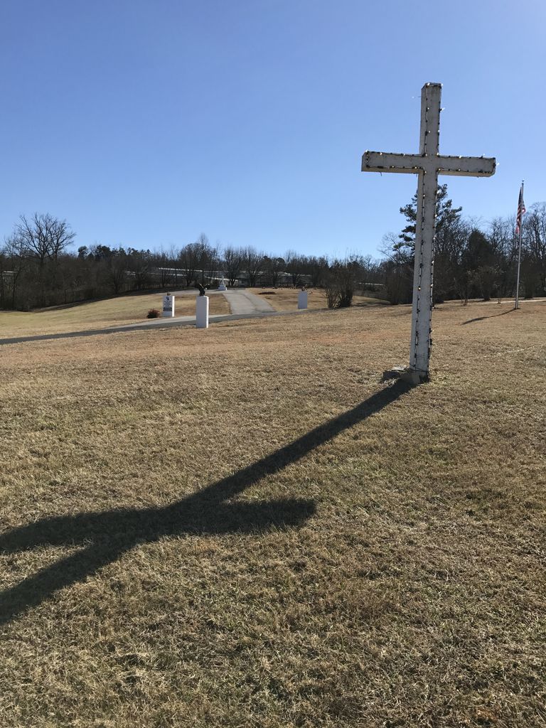
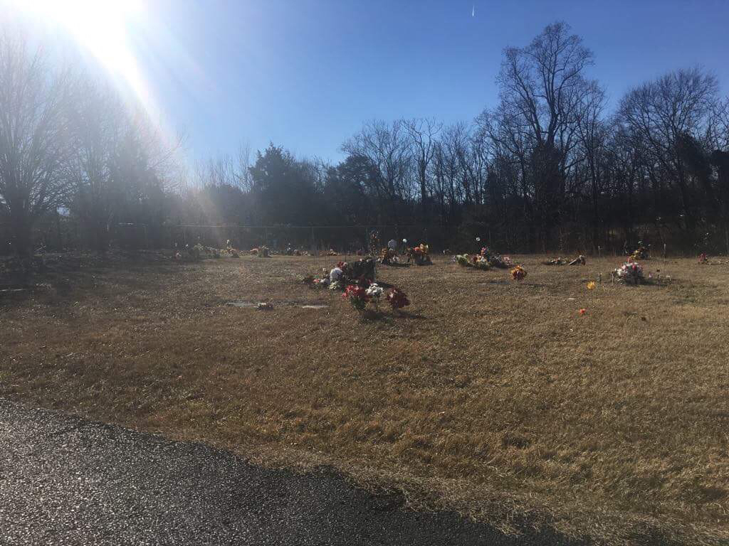
| Memorials | : | 3 |
| Location | : | Blount County, USA |
| Coordinate | : | 35.6555000, -84.1173600 |
frequently asked questions (FAQ):
-
Where is Crossroads Tabernacle Cemetery?
Crossroads Tabernacle Cemetery is located at 5728 Old Niles Ferry Road Blount County ,Tennessee , 37742USA.
-
Crossroads Tabernacle Cemetery cemetery's updated grave count on graveviews.com?
3 memorials
-
Where are the coordinates of the Crossroads Tabernacle Cemetery?
Latitude: 35.6555000
Longitude: -84.1173600
Nearby Cemetories:
1. Bakers Creek Cemetery
Blount County, USA
Coordinate: 35.6563988, -84.1100006
2. Bingham Cemetery
Loudon County, USA
Coordinate: 35.6555200, -84.1440500
3. Bogle Farm Cemetery
Blount County, USA
Coordinate: 35.6708565, -84.0913239
4. Pine Grove Presbyterian Church Cemetery
Greenback, Loudon County, USA
Coordinate: 35.6527800, -84.1535600
5. Liberty Baptist Church Cemetery
Maryville, Blount County, USA
Coordinate: 35.6260986, -84.1335983
6. Garner Family Cemetery
Blount County, USA
Coordinate: 35.6232300, -84.1065100
7. Williamson Chapel Cemetery
Maryville, Blount County, USA
Coordinate: 35.6206017, -84.1074982
8. Faith Deliverance Church Cemetery
Blount County, USA
Coordinate: 35.6164200, -84.0946100
9. Smyrna Baptist Church Cemetery
Blount County, USA
Coordinate: 35.6182750, -84.1444480
10. Salem Baptist Church Cemetery
Blount County, USA
Coordinate: 35.6982994, -84.1014023
11. Lambert Cemetery
Blount County, USA
Coordinate: 35.6316986, -84.0674973
12. Centenary Baptist Church Cemetery
Maryville, Blount County, USA
Coordinate: 35.6411018, -84.0582962
13. Cloyds Creek Cemetery
Blount County, USA
Coordinate: 35.6981010, -84.1605988
14. McCollum Family Cemetery
Glendale, Loudon County, USA
Coordinate: 35.6425185, -84.1852114
15. Nelson Chapel Cemetery
Blount County, USA
Coordinate: 35.6068993, -84.0757980
16. Sinking Creek Cemetery
Greenback, Loudon County, USA
Coordinate: 35.6748167, -84.1912333
17. Marble Hill Missionary Baptist Church Cemetery
Friendsville, Blount County, USA
Coordinate: 35.7187770, -84.1406850
18. Four Mile Cemetery
Maryville, Blount County, USA
Coordinate: 35.5931015, -84.0832977
19. Union Grove Baptist Cemetery
Union Grove, Blount County, USA
Coordinate: 35.5883000, -84.1333000
20. Montgomery Cemetery
Blount County, USA
Coordinate: 35.6030998, -84.1735992
21. Oakland Cemetery
Maryville, Blount County, USA
Coordinate: 35.6906013, -84.0397034
22. Big Spring Presbyterian Church Cemetery
Friendsville, Blount County, USA
Coordinate: 35.7271996, -84.1027985
23. Oakland United Methodist Church Cemetery
Monroe County, USA
Coordinate: 35.6143990, -84.1913986
24. Kagleys Chapel Cemetery
Sixmile, Blount County, USA
Coordinate: 35.6183014, -84.0397034