
| Memorials | : | 0 |
| Location | : | Blount County, USA |
| Coordinate | : | 35.6182750, -84.1444480 |
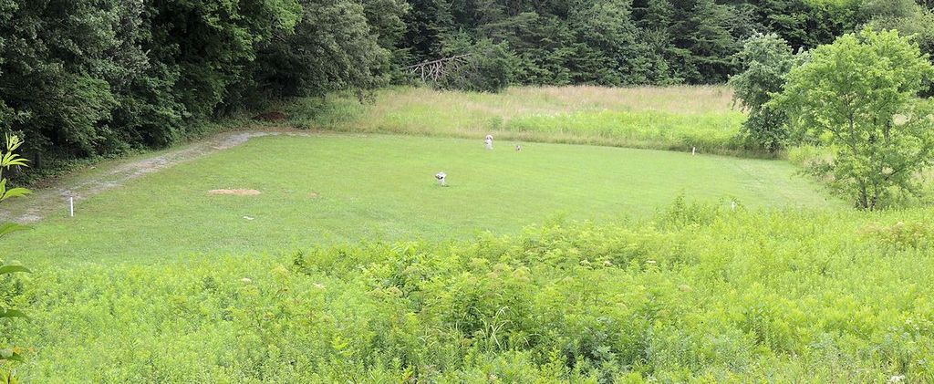
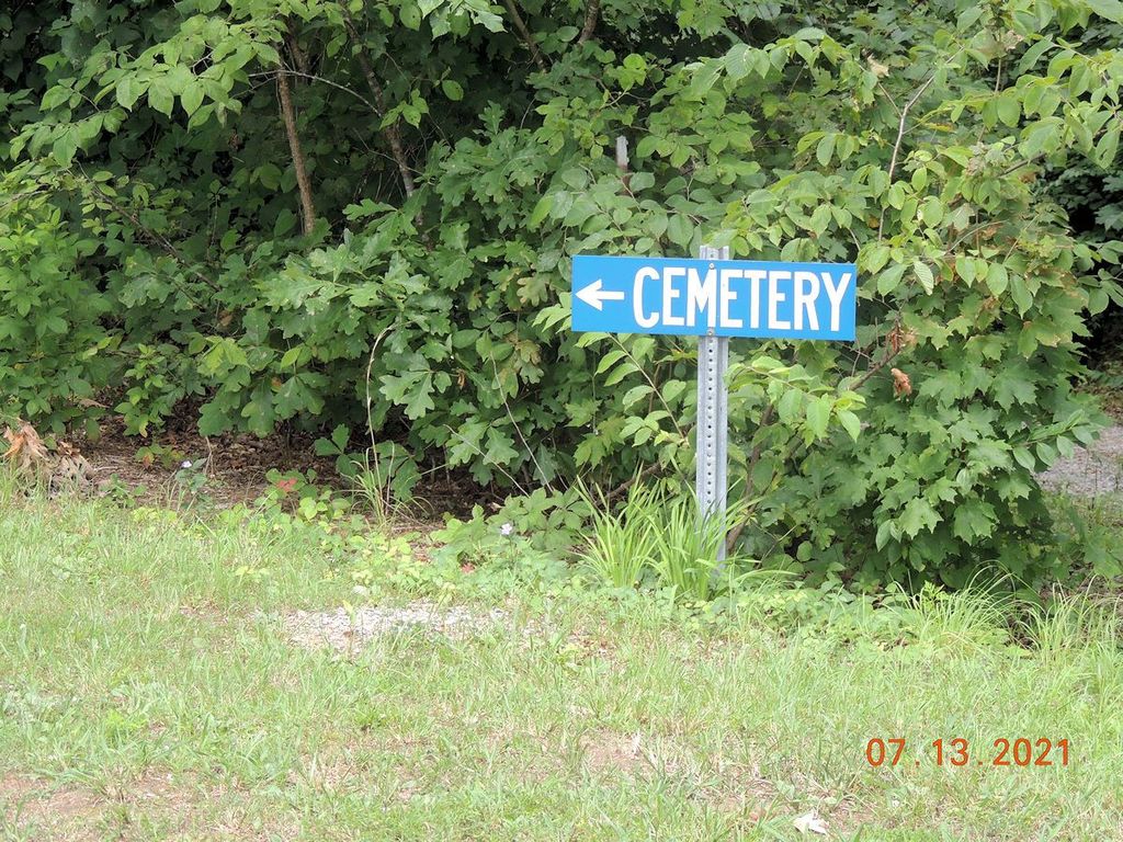
| Description | : | Cemetery is to the right side of the church, down a gravel road through a short section of woods. |
frequently asked questions (FAQ):
-
Where is Smyrna Baptist Church Cemetery?
Smyrna Baptist Church Cemetery is located at 6823 Howard School Road Blount County ,Tennessee ,USA.
-
Smyrna Baptist Church Cemetery cemetery's updated grave count on graveviews.com?
0 memorials
-
Where are the coordinates of the Smyrna Baptist Church Cemetery?
Latitude: 35.6182750
Longitude: -84.1444480
Nearby Cemetories:
1. Liberty Baptist Church Cemetery
Maryville, Blount County, USA
Coordinate: 35.6260986, -84.1335983
2. Montgomery Cemetery
Blount County, USA
Coordinate: 35.6030998, -84.1735992
3. Williamson Chapel Cemetery
Maryville, Blount County, USA
Coordinate: 35.6206017, -84.1074982
4. Garner Family Cemetery
Blount County, USA
Coordinate: 35.6232300, -84.1065100
5. Union Grove Baptist Cemetery
Union Grove, Blount County, USA
Coordinate: 35.5883000, -84.1333000
6. Pine Grove Presbyterian Church Cemetery
Greenback, Loudon County, USA
Coordinate: 35.6527800, -84.1535600
7. Bingham Cemetery
Loudon County, USA
Coordinate: 35.6555200, -84.1440500
8. Oakland United Methodist Church Cemetery
Monroe County, USA
Coordinate: 35.6143990, -84.1913986
9. Faith Deliverance Church Cemetery
Blount County, USA
Coordinate: 35.6164200, -84.0946100
10. McCollum Family Cemetery
Glendale, Loudon County, USA
Coordinate: 35.6425185, -84.1852114
11. Crossroads Tabernacle Cemetery
Blount County, USA
Coordinate: 35.6555000, -84.1173600
12. Bakers Creek Cemetery
Blount County, USA
Coordinate: 35.6563988, -84.1100006
13. Riverbend Farm Cemetery
Greenback, Loudon County, USA
Coordinate: 35.6238850, -84.2040080
14. Bacon-Henley Cemetery
Monroe County, USA
Coordinate: 35.5691986, -84.1418991
15. Rollins Cemetery
Loudon County, USA
Coordinate: 35.6319008, -84.2035980
16. Niles-McGhee Cemetery
Monroe County, USA
Coordinate: 35.6025009, -84.2052994
17. McGhee Cemetery
Monroe County, USA
Coordinate: 35.5823700, -84.1917600
18. Toqua Graveyard
Vonore, Monroe County, USA
Coordinate: 35.5816667, -84.1941667
19. Four Mile Cemetery
Maryville, Blount County, USA
Coordinate: 35.5931015, -84.0832977
20. Nelson Chapel Cemetery
Blount County, USA
Coordinate: 35.6068993, -84.0757980
21. Howard Chapel Missionary Baptist Church Cemetery
Vonore, Monroe County, USA
Coordinate: 35.5560989, -84.1541977
22. Toqua Cemetery
Toqua, Monroe County, USA
Coordinate: 35.5788880, -84.2058333
23. Chota Memorial
Monroe County, USA
Coordinate: 35.5552670, -84.1315750
24. Lambert Cemetery
Blount County, USA
Coordinate: 35.6316986, -84.0674973