
| Memorials | : | 0 |
| Location | : | Franklin County, USA |
| Coordinate | : | 34.3177986, -83.2161026 |
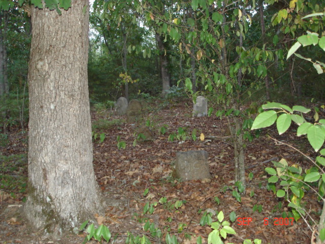
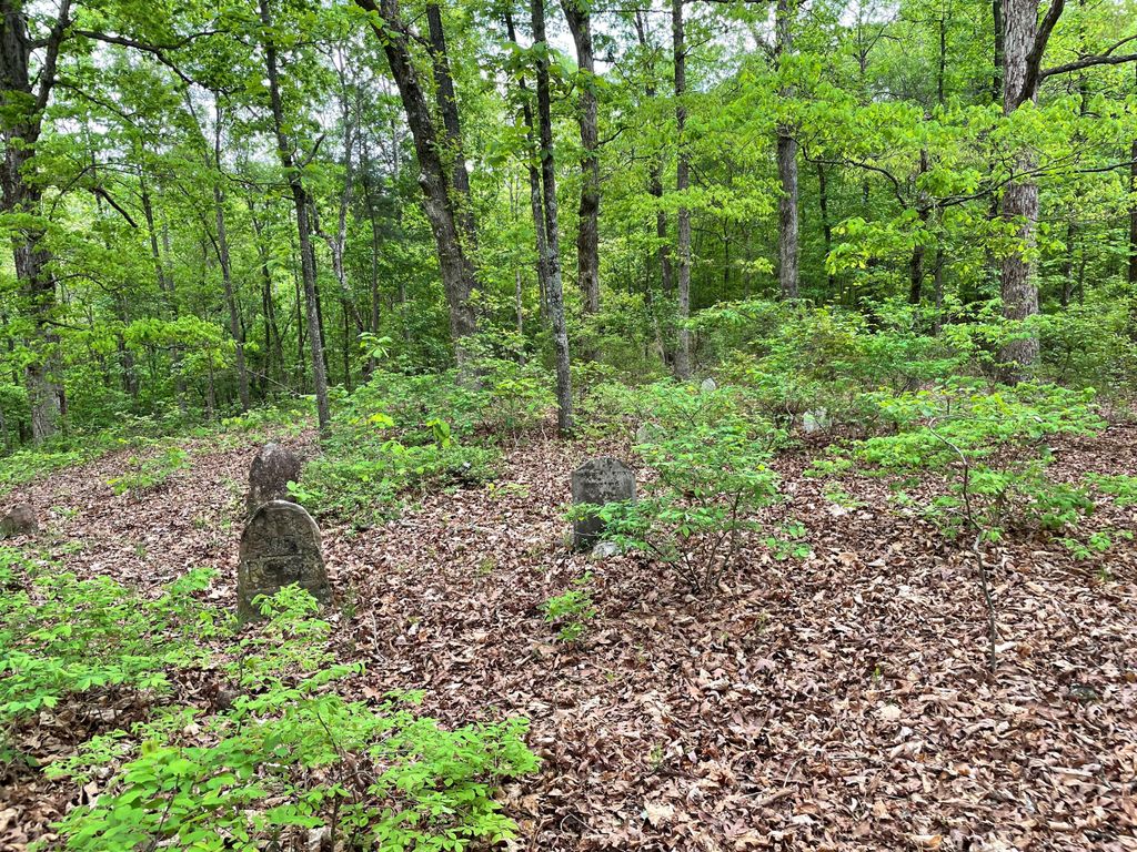
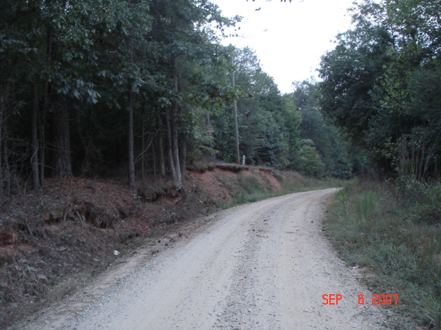
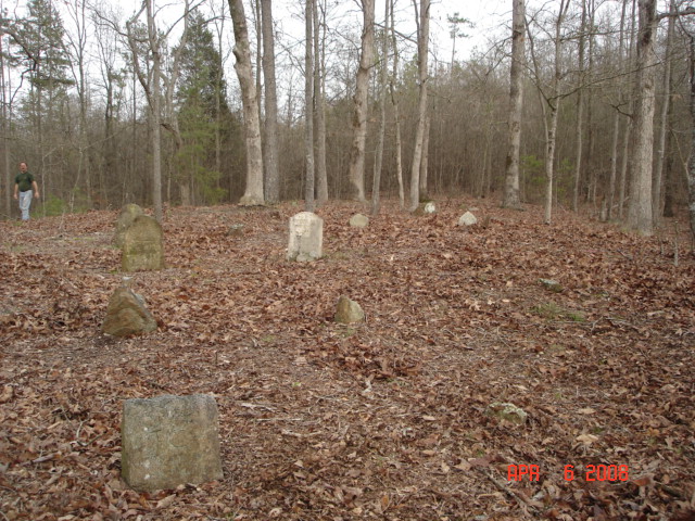
| Description | : | On Dollie Phillips Rd, which one end is at Atkinson Bridge Road.This cemetery has been neglected, as the trees & brush have grown up around it. It is off of Dollie Phillips Rd,3/10 of a mile from Atkinson Bridge Rd.,both gravel roads, and there are no markings or path to it. |
frequently asked questions (FAQ):
-
Where is Crow-Phillips Cemetery?
Crow-Phillips Cemetery is located at Franklin County ,Georgia ,USA.
-
Crow-Phillips Cemetery cemetery's updated grave count on graveviews.com?
0 memorials
-
Where are the coordinates of the Crow-Phillips Cemetery?
Latitude: 34.3177986
Longitude: -83.2161026


Nearby Cemetories:
1. Crow, Roach, Phillips Family Cemetery
Sandy Cross, Franklin County, USA
Coordinate: 34.3175530, -83.2152440
2. Riverside Church Cemetery
Sandy Cross, Franklin County, USA
Coordinate: 34.3164749, -83.2170792
3. Adams Cemetery
Carnesville, Franklin County, USA
Coordinate: 34.3360200, -83.1931110
4. Cary Memorial Garden
Royston, Franklin County, USA
Coordinate: 34.2908530, -83.2160390
5. Peniel Church Cemetery #2
Sandy Cross, Franklin County, USA
Coordinate: 34.2882476, -83.2268702
6. Peniel Pentecostal Holiness Cemetery
Royston, Franklin County, USA
Coordinate: 34.2880650, -83.2283770
7. Pennington Chapel Cemetery
Franklin County, USA
Coordinate: 34.2870700, -83.2242530
8. Blackwell Family Cemetery
Carnesville, Franklin County, USA
Coordinate: 34.3203810, -83.2558360
9. Zidon Baptist Church Cemetery
Sandy Cross, Franklin County, USA
Coordinate: 34.2824326, -83.2111359
10. Liberty Baptist Church Cemetery
Carnesville, Franklin County, USA
Coordinate: 34.3540010, -83.2076110
11. Rocky Branch Cemetery
Carnesville, Franklin County, USA
Coordinate: 34.3351410, -83.2666200
12. Middle River Cemetery
Carnesville, Franklin County, USA
Coordinate: 34.3274100, -83.2698880
13. Haley Family Cemetery
Franklin County, USA
Coordinate: 34.2946650, -83.2667540
14. Carroll's UMC Cemetery
Carnesville, Franklin County, USA
Coordinate: 34.3577350, -83.1765490
15. Cross Roads Baptist Church Cemetery
Carnesville, Franklin County, USA
Coordinate: 34.3636930, -83.2468410
16. Center Cemetery
Franklin Springs, Franklin County, USA
Coordinate: 34.2871330, -83.1599950
17. Carnesville United Methodist Church Cemetery
Carnesville, Franklin County, USA
Coordinate: 34.3714910, -83.2337580
18. Trinity United Methodist Church Cemetery
Franklin County, USA
Coordinate: 34.2803280, -83.2662940
19. Latner Cemetery
Canon, Franklin County, USA
Coordinate: 34.3450012, -83.1568985
20. Buckey James Cemetery
Royston, Franklin County, USA
Coordinate: 34.2612720, -83.2192170
21. Union Grove CME Cemetery
Franklin County, USA
Coordinate: 34.3686380, -83.2519170
22. Holbrook Cemetery
Cromers, Franklin County, USA
Coordinate: 34.3216667, -83.2925000
23. Zion Hill Cemetery
Carnesville, Franklin County, USA
Coordinate: 34.3803100, -83.2280800
24. Franklin Springs Baptist Church Cemetery
Franklin Springs, Franklin County, USA
Coordinate: 34.2842500, -83.1492840