
| Memorials | : | 0 |
| Location | : | Sandy Cross, Franklin County, USA |
| Coordinate | : | 34.2882476, -83.2268702 |
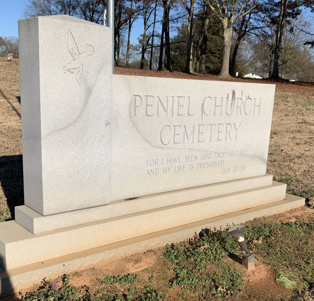
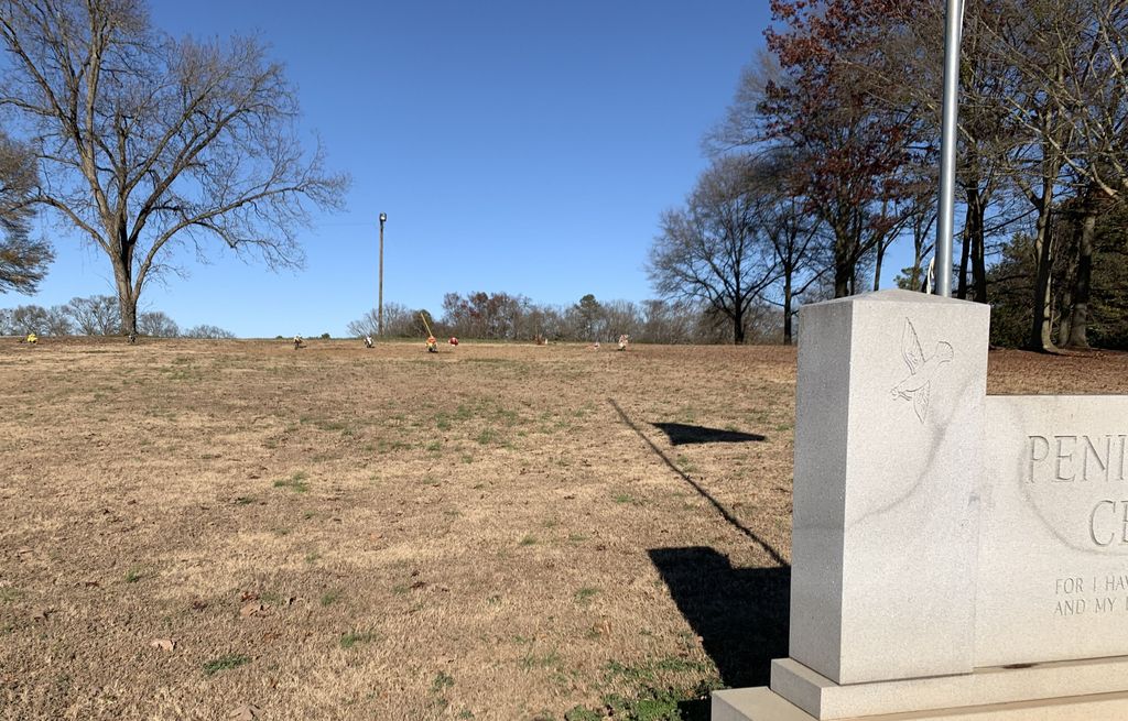
| Description | : | The Peniel Church Cemetery #2 is on Sandy Cross Rd, or GA 51 in Sandy Cross, Ga. It is about 150 yards across the road and north east from the Peniel Pentecostal Holiness Church and Cemetery. It appears to be an extension and a newer expansion of the first cemetery. At present it has all flat, ground level brass markers. |
frequently asked questions (FAQ):
-
Where is Peniel Church Cemetery #2?
Peniel Church Cemetery #2 is located at 2972Sandy Cross Rd. Royston, Franklin County, GA. Sandy Cross, Franklin County ,Georgia , 30662USA.
-
Peniel Church Cemetery #2 cemetery's updated grave count on graveviews.com?
0 memorials
-
Where are the coordinates of the Peniel Church Cemetery #2?
Latitude: 34.2882476
Longitude: -83.2268702
Nearby Cemetories:
1. Peniel Pentecostal Holiness Cemetery
Royston, Franklin County, USA
Coordinate: 34.2880650, -83.2283770
2. Pennington Chapel Cemetery
Franklin County, USA
Coordinate: 34.2870700, -83.2242530
3. Cary Memorial Garden
Royston, Franklin County, USA
Coordinate: 34.2908530, -83.2160390
4. Zidon Baptist Church Cemetery
Sandy Cross, Franklin County, USA
Coordinate: 34.2824326, -83.2111359
5. Buckey James Cemetery
Royston, Franklin County, USA
Coordinate: 34.2612720, -83.2192170
6. Riverside Church Cemetery
Sandy Cross, Franklin County, USA
Coordinate: 34.3164749, -83.2170792
7. Crow, Roach, Phillips Family Cemetery
Sandy Cross, Franklin County, USA
Coordinate: 34.3175530, -83.2152440
8. Crow-Phillips Cemetery
Franklin County, USA
Coordinate: 34.3177986, -83.2161026
9. Trinity United Methodist Church Cemetery
Franklin County, USA
Coordinate: 34.2803280, -83.2662940
10. Haley Family Cemetery
Franklin County, USA
Coordinate: 34.2946650, -83.2667540
11. Blackwell Family Cemetery
Carnesville, Franklin County, USA
Coordinate: 34.3203810, -83.2558360
12. Gordon Non Denomination
Franklin County, USA
Coordinate: 34.2716770, -83.2726670
13. Little Family Cemetery
Carnesville, Franklin County, USA
Coordinate: 34.2959410, -83.2898860
14. Middle River Cemetery
Carnesville, Franklin County, USA
Coordinate: 34.3274100, -83.2698880
15. McEwen Family Cemetery
Danielsville, Madison County, USA
Coordinate: 34.2331240, -83.2251100
16. Center Cemetery
Franklin Springs, Franklin County, USA
Coordinate: 34.2871330, -83.1599950
17. Adams Cemetery
Carnesville, Franklin County, USA
Coordinate: 34.3360200, -83.1931110
18. Liberty Church Cemetery
Ila, Madison County, USA
Coordinate: 34.2456690, -83.2726490
19. Rocky Branch Cemetery
Carnesville, Franklin County, USA
Coordinate: 34.3351410, -83.2666200
20. Melvin Hill Christian Methodist Episcopal Church
Carnesville, Franklin County, USA
Coordinate: 34.2699030, -83.2947440
21. Salem Holiness Church Cemetery
Franklin County, USA
Coordinate: 34.2444370, -83.1788870
22. New Hope Worship Center
Danielsville, Madison County, USA
Coordinate: 34.2360530, -83.1830800
23. Holbrook Cemetery
Cromers, Franklin County, USA
Coordinate: 34.3216667, -83.2925000
24. Franklin Springs Baptist Church Cemetery
Franklin Springs, Franklin County, USA
Coordinate: 34.2842500, -83.1492840