
| Memorials | : | 0 |
| Location | : | High Ridge, Jefferson County, USA |
| Coordinate | : | 38.4401360, -90.4974480 |
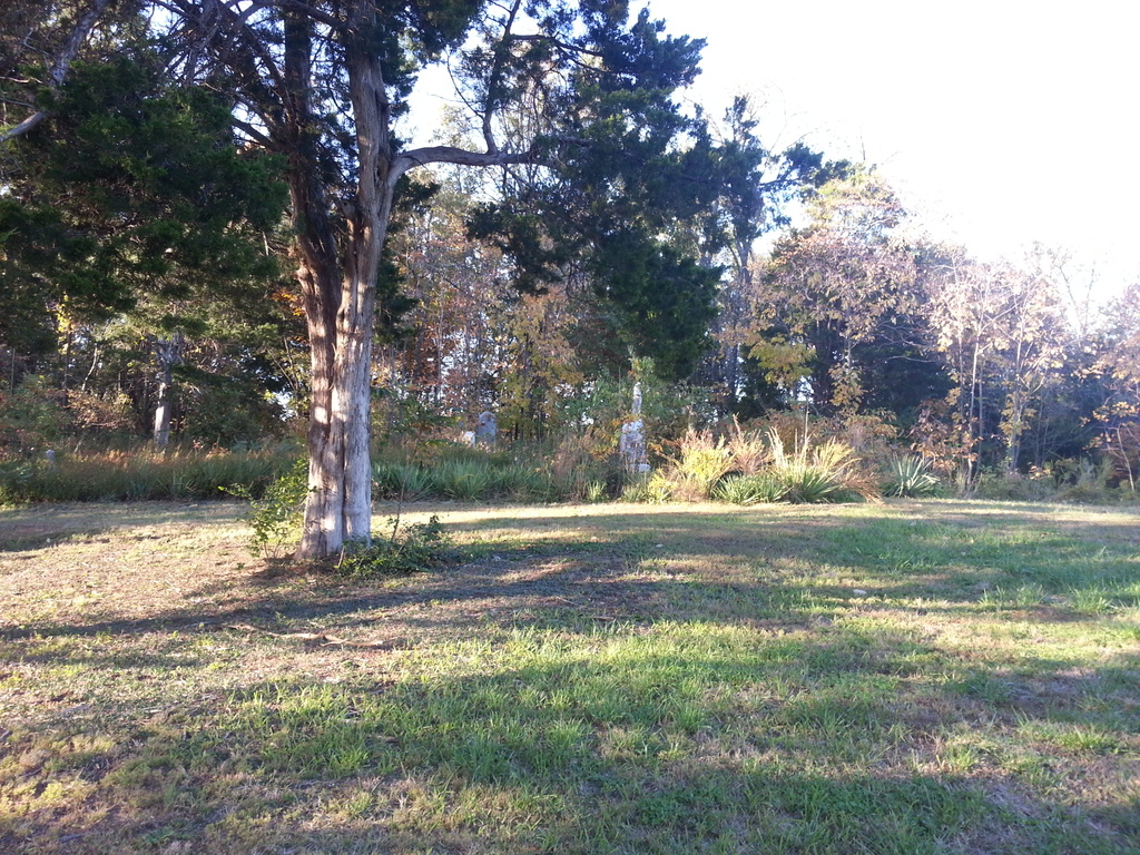
| Description | : | This cemetery is located in the middle of two St. John's Catholic Church cemeteries. It is easy to find since it is overgrown and between the old and new cemeteries which are well maintained. |
frequently asked questions (FAQ):
-
Where is Czech-Slav Benevolent Society Cemetery?
Czech-Slav Benevolent Society Cemetery is located at 4304 W Rock Creek Rd High Ridge, Jefferson County ,Missouri , 63049USA.
-
Czech-Slav Benevolent Society Cemetery cemetery's updated grave count on graveviews.com?
0 memorials
-
Where are the coordinates of the Czech-Slav Benevolent Society Cemetery?
Latitude: 38.4401360
Longitude: -90.4974480
Nearby Cemetories:
1. Saint John Cemetery
High Ridge, Jefferson County, USA
Coordinate: 38.4406013, -90.4974976
2. Saint Martins Cemetery
High Ridge, Jefferson County, USA
Coordinate: 38.4538000, -90.5385000
3. McCormick Cemetery
Murphy, Jefferson County, USA
Coordinate: 38.4831009, -90.4831009
4. Everlawn Gardens Cemetery
High Ridge, Jefferson County, USA
Coordinate: 38.4359190, -90.5703050
5. Forest Lawn Pet Cemetery
High Ridge, Jefferson County, USA
Coordinate: 38.4449700, -90.5727800
6. Our Lady Queen of Peace Catholic Cemetery
House Springs, Jefferson County, USA
Coordinate: 38.4103200, -90.5673300
7. Saint Pauls Lutheran Cemetery
Antonia, Jefferson County, USA
Coordinate: 38.3703600, -90.4990600
8. Antonia Cemetery
Antonia, Jefferson County, USA
Coordinate: 38.3641357, -90.4659500
9. Richardson Cemetery
Arnold, Jefferson County, USA
Coordinate: 38.4207993, -90.3961029
10. Immaculate Conception Cemetery
Arnold, Jefferson County, USA
Coordinate: 38.4346300, -90.3805100
11. Burgess Cemetery
Antonia, Jefferson County, USA
Coordinate: 38.3610000, -90.4376000
12. Saint Johns Lutheran Cemetery
Arnold, Jefferson County, USA
Coordinate: 38.4128000, -90.3819100
13. Langehennig Family Plot
Antonia, Jefferson County, USA
Coordinate: 38.3591670, -90.4147220
14. Shepherd Hills Cemetery
Barnhart, Jefferson County, USA
Coordinate: 38.3558300, -90.4110100
15. Saint Josephs Cemetery
Imperial, Jefferson County, USA
Coordinate: 38.3792000, -90.3664017
16. Rauschenbach Cemetery
Imperial, Jefferson County, USA
Coordinate: 38.3668240, -90.3765440
17. Kimmswick City Cemetery
Imperial, Jefferson County, USA
Coordinate: 38.3666610, -90.3765580
18. Liguori Cemetery
Barnhart, Jefferson County, USA
Coordinate: 38.3431700, -90.4057390
19. Bechler Family Cemetery
Belews Creek, Jefferson County, USA
Coordinate: 38.3304900, -90.5707100
20. Local Cedar Hill Cemetery
Cedar Hill, Jefferson County, USA
Coordinate: 38.3659400, -90.6271800
21. Kimm Cemetery
Jefferson County, USA
Coordinate: 38.3663670, -90.3661110
22. Skullens Cemetery
Cedar Hill, Jefferson County, USA
Coordinate: 38.3736000, -90.6399994
23. Chapel Hill Memorial Gardens
Cedar Hill, Jefferson County, USA
Coordinate: 38.3622190, -90.6403400
24. Johnston Cemetery
Pevely, Jefferson County, USA
Coordinate: 38.3022400, -90.5045500