
| Memorials | : | 5 |
| Location | : | Cedar Hill, Jefferson County, USA |
| Coordinate | : | 38.3659400, -90.6271800 |
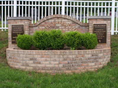
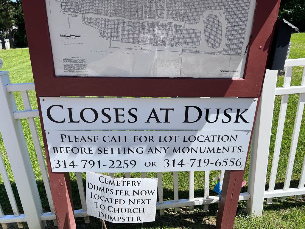
| Description | : | It is located next to the Baptist Church, but cemetery has no affiliation with the church. The church allows the cemetery to use their parking lot. |
frequently asked questions (FAQ):
-
Where is Local Cedar Hill Cemetery?
Local Cedar Hill Cemetery is located at 8265 Local Hillsboro Road Cedar Hill, Jefferson County ,Missouri ,USA.
-
Local Cedar Hill Cemetery cemetery's updated grave count on graveviews.com?
5 memorials
-
Where are the coordinates of the Local Cedar Hill Cemetery?
Latitude: 38.3659400
Longitude: -90.6271800
Nearby Cemetories:
1. Chapel Hill Memorial Gardens
Cedar Hill, Jefferson County, USA
Coordinate: 38.3622190, -90.6403400
2. Skullens Cemetery
Cedar Hill, Jefferson County, USA
Coordinate: 38.3736000, -90.6399994
3. Saint Columbkille Cemetery
Byrnesville, Jefferson County, USA
Coordinate: 38.3903720, -90.6654780
4. Bechler Family Cemetery
Belews Creek, Jefferson County, USA
Coordinate: 38.3304900, -90.5707100
5. Saint Martins United Church of Christ Cemetery
Dittmer, Jefferson County, USA
Coordinate: 38.3290300, -90.6892300
6. Our Lady Queen of Peace Catholic Cemetery
House Springs, Jefferson County, USA
Coordinate: 38.4103200, -90.5673300
7. Independent Friends Cemetery
Dittmer, Jefferson County, USA
Coordinate: 38.3655853, -90.7172852
8. Herrington Family Burial Ground
Hillsboro, Jefferson County, USA
Coordinate: 38.2911770, -90.5952680
9. Everlawn Gardens Cemetery
High Ridge, Jefferson County, USA
Coordinate: 38.4359190, -90.5703050
10. Glade Chapel Cemetery
Hillsboro, Jefferson County, USA
Coordinate: 38.2952300, -90.5665500
11. Church of God Faith of Abraham Cemetery
Morse Mill, Jefferson County, USA
Coordinate: 38.2801094, -90.6482544
12. Forest Lawn Pet Cemetery
High Ridge, Jefferson County, USA
Coordinate: 38.4449700, -90.5727800
13. Mangan-Gass Cemetery
Jefferson County, USA
Coordinate: 38.4271665, -90.7224015
14. Henderson Family Cemetery
Catawissa, Franklin County, USA
Coordinate: 38.3740630, -90.7514480
15. Wideman Cemetery
Dittmer, Jefferson County, USA
Coordinate: 38.2984200, -90.7185000
16. Saint Patrick Cemetery
Catawissa, Franklin County, USA
Coordinate: 38.4028500, -90.7438700
17. Saint Pauls Lutheran Cemetery
Antonia, Jefferson County, USA
Coordinate: 38.3703600, -90.4990600
18. Christian Outreach Church Cemetery
Hillsboro, Jefferson County, USA
Coordinate: 38.3016450, -90.5227920
19. Calvey Baptist Church Cemetery
Catawissa, Franklin County, USA
Coordinate: 38.3463700, -90.7585500
20. Peaceful Meadows
Hillsboro, Jefferson County, USA
Coordinate: 38.2629557, -90.5978627
21. Saint Martins Cemetery
High Ridge, Jefferson County, USA
Coordinate: 38.4538000, -90.5385000
22. Johnston Cemetery
Pevely, Jefferson County, USA
Coordinate: 38.3022400, -90.5045500
23. Oak Ridge Cemetery
Catawissa, Franklin County, USA
Coordinate: 38.4016991, -90.7671967
24. Grubville Cemetery
Grubville, Jefferson County, USA
Coordinate: 38.2970700, -90.7468100