
| Memorials | : | 9 |
| Location | : | Roseville, Ramsey County, USA |
| Coordinate | : | 45.0061500, -93.1117800 |
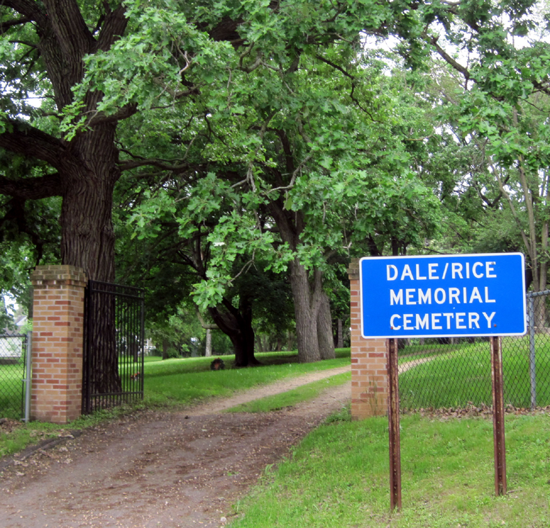
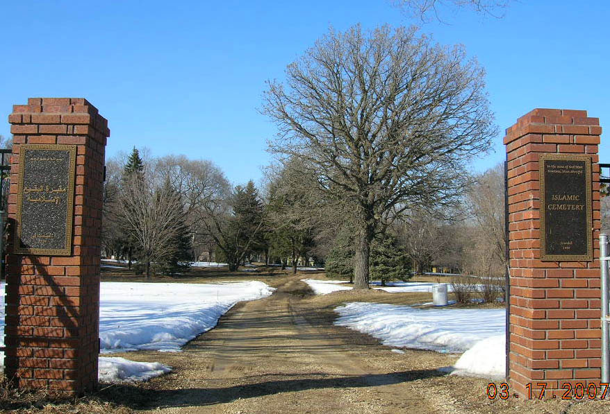
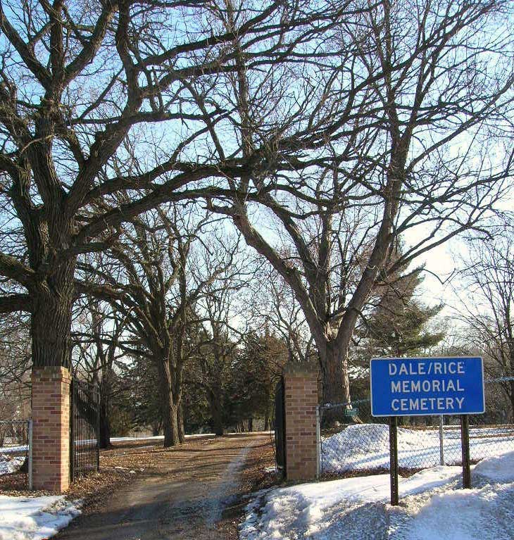
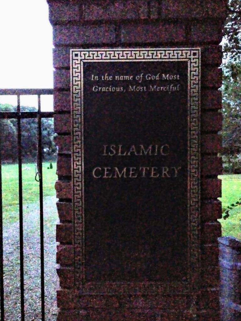
| Description | : | The main entrance to this cemetery is located on the south side of County Road B, approximately 1/4 mile west of Rice Street. There is a second entrance, to Islamic Cemetery, on the south side of the cemetery (Burke Avenue). The cemetery was established by local Scandinavians in 1862 and was originally known as Norwegian Lutheran Cemetery. Over time it has also been known as Rosedale Cemetery and Rice Cemetery. Today it is known as both Dale/Rice Memorial Cemetery and Islamic Cemetery. In 1913 the cemetery was noted as no longer being... Read More |
frequently asked questions (FAQ):
-
Where is Dale-Rice Memorial Cemetery?
Dale-Rice Memorial Cemetery is located at 270 W. County Road B Roseville, Ramsey County ,Minnesota , 55113USA.
-
Dale-Rice Memorial Cemetery cemetery's updated grave count on graveviews.com?
9 memorials
-
Where are the coordinates of the Dale-Rice Memorial Cemetery?
Latitude: 45.0061500
Longitude: -93.1117800
Nearby Cemetories:
1. Memorial Pet Cemetery
Roseville, Ramsey County, USA
Coordinate: 45.0103510, -93.1292500
2. Temple of Aaron Cemetery
Roseville, Ramsey County, USA
Coordinate: 44.9922000, -93.1259400
3. Elmhurst Cemetery
Saint Paul, Ramsey County, USA
Coordinate: 44.9872800, -93.1258300
4. Roselawn Cemetery
Roseville, Ramsey County, USA
Coordinate: 44.9921500, -93.1355100
5. Saint Johns Cemetery
Little Canada, Ramsey County, USA
Coordinate: 45.0200005, -93.0805969
6. Forest Lawn Memorial Park
Maplewood, Ramsey County, USA
Coordinate: 44.9975010, -93.0731570
7. Mount Zion Temple Cemetery
Saint Paul, Ramsey County, USA
Coordinate: 44.9932600, -93.0735800
8. Saint Christophers Episcopal Church Columbarium
Roseville, Ramsey County, USA
Coordinate: 45.0114940, -93.1553760
9. Sons of Moses Cemetery
Saint Paul, Ramsey County, USA
Coordinate: 44.9904785, -93.0704575
10. Sons of Jacob Cemetery
Saint Paul, Ramsey County, USA
Coordinate: 44.9911118, -93.0695496
11. Oakland Cemetery
Saint Paul, Ramsey County, USA
Coordinate: 44.9692001, -93.0986023
12. Calvary Cemetery
Saint Paul, Ramsey County, USA
Coordinate: 44.9674988, -93.1350021
13. Saint Odilia Prayer Garden
Shoreview, Ramsey County, USA
Coordinate: 45.0475700, -93.1328200
14. Chesed Shel Emes Cemetery
Saint Paul, Ramsey County, USA
Coordinate: 44.9907990, -93.0317001
15. Sons of Abraham Cemetery
Saint Paul, Ramsey County, USA
Coordinate: 44.9784900, -93.0379100
16. Adath Yeshurun Cemetery
Saint Paul, Ramsey County, USA
Coordinate: 44.9791107, -93.0364609
17. West Side Hebrew Cemetery
Saint Paul, Ramsey County, USA
Coordinate: 44.9791107, -93.0364609
18. Ramsey County Cemetery
Maplewood, Ramsey County, USA
Coordinate: 45.0019302, -93.0245209
19. Garden of the Resurrection
Saint Paul, Ramsey County, USA
Coordinate: 44.9854210, -93.1964780
20. Saint John the Evangelist Episcopal Columbarium
Saint Paul, Ramsey County, USA
Coordinate: 44.9428200, -93.1236700
21. House of Hope Presbyterian Church Memorial Garden
Saint Paul, Ramsey County, USA
Coordinate: 44.9418400, -93.1329500
22. Indian Mounds Park
Saint Paul, Ramsey County, USA
Coordinate: 44.9460060, -93.0547060
23. Sunset Memorial Park Cemetery
Minneapolis, Hennepin County, USA
Coordinate: 45.0102997, -93.2157974
24. Saint Pauls Church-on-the-Hill
Saint Paul, Ramsey County, USA
Coordinate: 44.9411300, -93.1651000