
| Memorials | : | 0 |
| Location | : | Saint Paul, Ramsey County, USA |
| Website | : | www.hohchurch.org/special-services |
| Coordinate | : | 44.9418400, -93.1329500 |
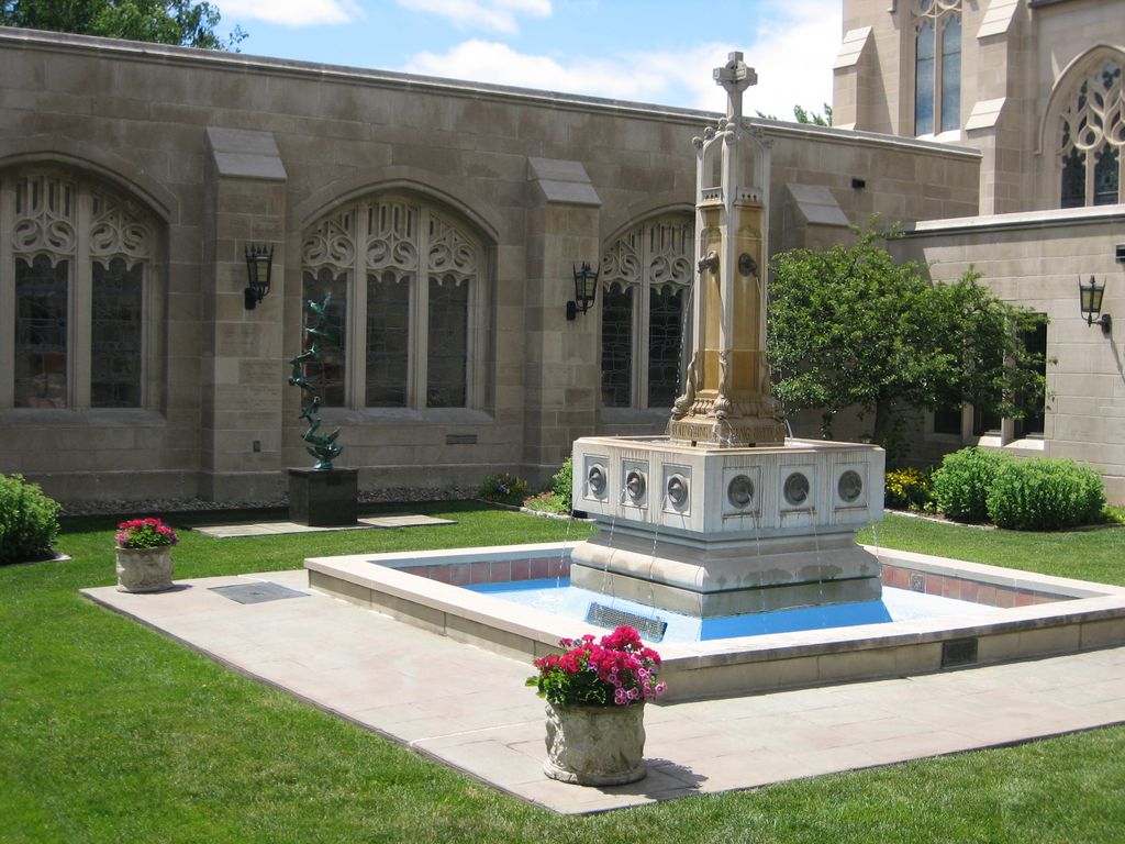
| Description | : | Dedicated in 1986 as The House of Hope Presbyterian Church Columbarium, the name was later changed to Memorial Garden since cremated remains are interred in-ground. |
frequently asked questions (FAQ):
-
Where is House of Hope Presbyterian Church Memorial Garden?
House of Hope Presbyterian Church Memorial Garden is located at 797 Summit Avenue Saint Paul, Ramsey County ,Minnesota ,USA.
-
House of Hope Presbyterian Church Memorial Garden cemetery's updated grave count on graveviews.com?
0 memorials
-
Where are the coordinates of the House of Hope Presbyterian Church Memorial Garden?
Latitude: 44.9418400
Longitude: -93.1329500
Nearby Cemetories:
1. Saint John the Evangelist Episcopal Columbarium
Saint Paul, Ramsey County, USA
Coordinate: 44.9428200, -93.1236700
2. Saint Pauls Church-on-the-Hill
Saint Paul, Ramsey County, USA
Coordinate: 44.9411300, -93.1651000
3. Calvary Cemetery
Saint Paul, Ramsey County, USA
Coordinate: 44.9674988, -93.1350021
4. Saint Marys Episcopal Church Memorial Garden
Saint Paul, Ramsey County, USA
Coordinate: 44.9451999, -93.1805399
5. Oakland Cemetery
Saint Paul, Ramsey County, USA
Coordinate: 44.9692001, -93.0986023
6. Elmhurst Cemetery
Saint Paul, Ramsey County, USA
Coordinate: 44.9872800, -93.1258300
7. Riverview Cemetery
Saint Paul, Ramsey County, USA
Coordinate: 44.9196660, -93.0699010
8. Roselawn Cemetery
Roseville, Ramsey County, USA
Coordinate: 44.9921500, -93.1355100
9. Temple of Aaron Cemetery
Roseville, Ramsey County, USA
Coordinate: 44.9922000, -93.1259400
10. Augustana Lutheran Church Columbarium
West Saint Paul, Dakota County, USA
Coordinate: 44.9042659, -93.0797811
11. Indian Mounds Park
Saint Paul, Ramsey County, USA
Coordinate: 44.9460060, -93.0547060
12. Fort Snelling Memorial Chapel Cemetery
Fort Snelling, Hennepin County, USA
Coordinate: 44.8920708, -93.1846619
13. Garden of the Resurrection
Saint Paul, Ramsey County, USA
Coordinate: 44.9854210, -93.1964780
14. Church of Saint Peter Historic Cemetery
Mendota, Dakota County, USA
Coordinate: 44.8839417, -93.1671906
15. Saint Annes Columbarium
Saint Paul, Ramsey County, USA
Coordinate: 44.8822710, -93.1008710
16. Pilot Knob Indian Burial Ground
Mendota Heights, Dakota County, USA
Coordinate: 44.8810790, -93.1672870
17. Sons of Moses Cemetery
Saint Paul, Ramsey County, USA
Coordinate: 44.9904785, -93.0704575
18. Dale-Rice Memorial Cemetery
Roseville, Ramsey County, USA
Coordinate: 45.0061500, -93.1117800
19. Mount Zion Temple Cemetery
Saint Paul, Ramsey County, USA
Coordinate: 44.9932600, -93.0735800
20. Resurrection Cemetery
Mendota Heights, Dakota County, USA
Coordinate: 44.8767014, -93.1513977
21. Sons of Jacob Cemetery
Saint Paul, Ramsey County, USA
Coordinate: 44.9911118, -93.0695496
22. First Presbyterian Church Memorial Garden
South Saint Paul, Dakota County, USA
Coordinate: 44.8990300, -93.0589000
23. Acacia Park Cemetery
Mendota Heights, Dakota County, USA
Coordinate: 44.8788986, -93.1710968
24. Memorial Pet Cemetery
Roseville, Ramsey County, USA
Coordinate: 45.0103510, -93.1292500