
| Memorials | : | 0 |
| Location | : | Novinger, Adair County, USA |
| Coordinate | : | 40.2360992, -92.8352966 |
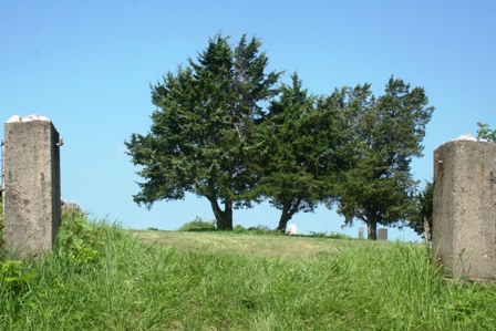
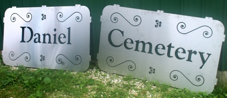
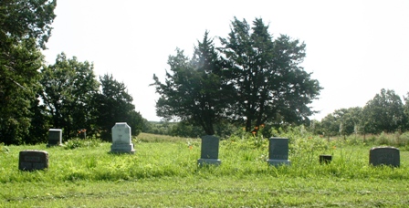
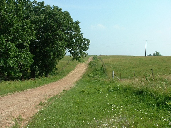
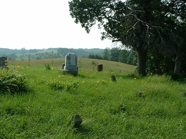
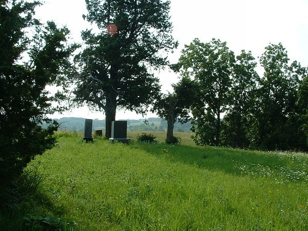
| Description | : | Family cemetery operated by the Daniel Cemetery Association. Property for the cemetery donated by Clarissa Daniel for the use of family, neighbors and friends. Located on Daniel Cemetery Trail, off of State Hwy 149 South, off of Highway 6 between Green Castle and Novinger. |
frequently asked questions (FAQ):
-
Where is Daniel Cemetery?
Daniel Cemetery is located at Daniel Cemetery Trail Novinger, Adair County ,Missouri , 63544USA.
-
Daniel Cemetery cemetery's updated grave count on graveviews.com?
0 memorials
-
Where are the coordinates of the Daniel Cemetery?
Latitude: 40.2360992
Longitude: -92.8352966
Nearby Cemetories:
1. Union Cemetery
Novinger, Adair County, USA
Coordinate: 40.2461020, -92.8056240
2. Ringo Point Cemetery
Novinger, Adair County, USA
Coordinate: 40.1864014, -92.8300018
3. Broyles Cemetery
Adair County, USA
Coordinate: 40.2458000, -92.7643967
4. Campbell Cemetery
Adair County, USA
Coordinate: 40.2164001, -92.7660980
5. Branstutter Cemetery
Adair County, USA
Coordinate: 40.3032990, -92.8319016
6. Allen-Claybrook Cemetery
Stahl, Adair County, USA
Coordinate: 40.3033000, -92.8319000
7. Megrew Cemetery
Adair County, USA
Coordinate: 40.2778015, -92.7613983
8. Morelock Cemetery
Stahl, Adair County, USA
Coordinate: 40.3106003, -92.8246994
9. Baden Springs Cemetery
Novinger, Adair County, USA
Coordinate: 40.1875000, -92.7497025
10. Novinger Family Cemetery
Novinger, Adair County, USA
Coordinate: 40.2356970, -92.7163180
11. Mount Moriah Cemetery
Adair County, USA
Coordinate: 40.2085991, -92.7219009
12. Shibleys Point Cemetery
Shibleys Point, Adair County, USA
Coordinate: 40.3163986, -92.7619019
13. Novinger Cemetery
Novinger, Adair County, USA
Coordinate: 40.2494011, -92.7052994
14. Leavenguth Family Cemetery
Novinger, Adair County, USA
Coordinate: 40.1460545, -92.7701752
15. Cox Cemetery
Morrow Township, Adair County, USA
Coordinate: 40.3414570, -92.8080440
16. Pratt Cemetery
Kirksville, Adair County, USA
Coordinate: 40.1366997, -92.7630997
17. Nineveh Cemetery
Adair County, USA
Coordinate: 40.2708015, -92.6931000
18. Collett-Cain Cemetery
Novinger, Adair County, USA
Coordinate: 40.2103004, -92.6866989
19. Green Grove Cemetery
Novinger, Adair County, USA
Coordinate: 40.3122390, -92.7180810
20. Bozarth Cemetery
Adair County, USA
Coordinate: 40.1553910, -92.7216440
21. Lutz Cemetery
Novinger, Adair County, USA
Coordinate: 40.1789017, -92.6936035
22. Hall Cemetery
Adair County, USA
Coordinate: 40.1175003, -92.7660980
23. Cheesman Cemetery
Adair County, USA
Coordinate: 40.1027985, -92.8422012
24. Husted Cemetery
Putnam County, USA
Coordinate: 40.3608017, -92.7671967