
| Memorials | : | 5 |
| Location | : | Adair County, USA |
| Coordinate | : | 40.2778015, -92.7613983 |
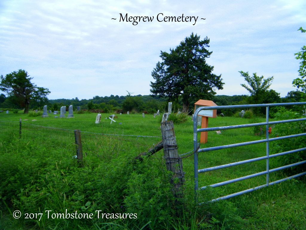
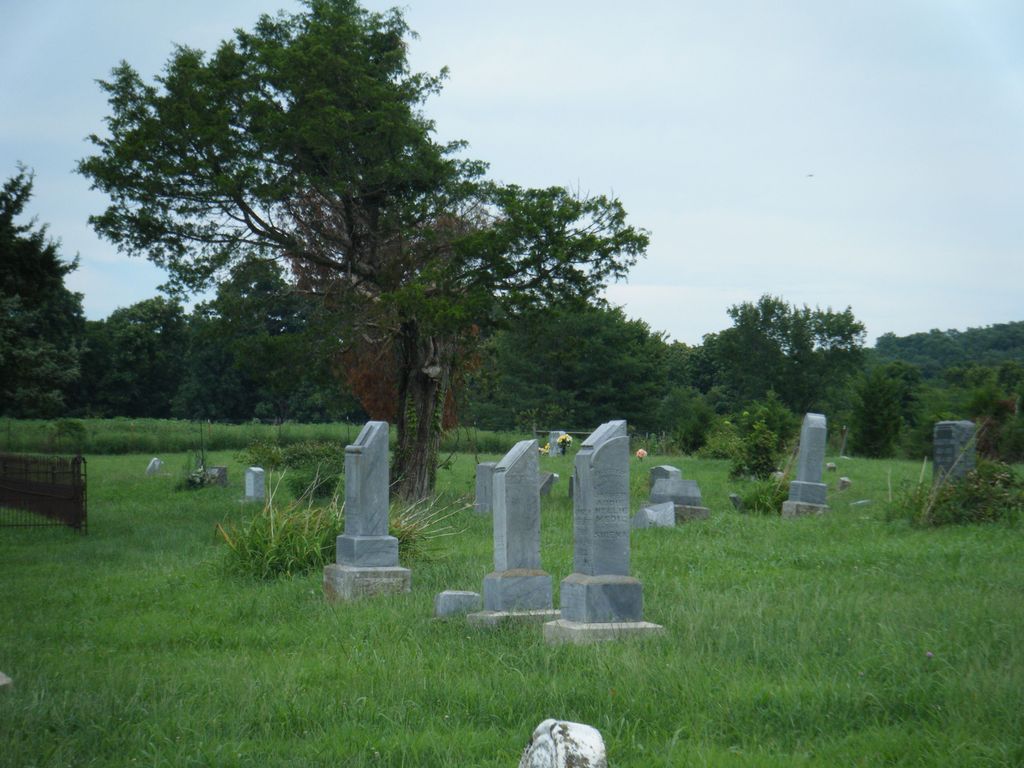
| Description | : | William Walters realized there was a need for a burial ground, and he donated a large plot behind his barn, and it became The Walters Cemetery. He was one of the more successful farmers in the Spring Creek area, and lived on the homestead until his death in 1873. After William’s death, Jackson Megrew, who had married William’s daughter Nellie, acquired the homestead, and in doing so changed the name of Walter’s Cemetery to Megrew Cemetery, as it is known today. Many descendants of William and Jerusha Walters, and local residents of that time period including Martin Snow and family, are... Read More |
frequently asked questions (FAQ):
-
Where is Megrew Cemetery?
Megrew Cemetery is located at Adair County ,Missouri ,USA.
-
Megrew Cemetery cemetery's updated grave count on graveviews.com?
5 memorials
-
Where are the coordinates of the Megrew Cemetery?
Latitude: 40.2778015
Longitude: -92.7613983
Nearby Cemetories:
1. Broyles Cemetery
Adair County, USA
Coordinate: 40.2458000, -92.7643967
2. Shibleys Point Cemetery
Shibleys Point, Adair County, USA
Coordinate: 40.3163986, -92.7619019
3. Union Cemetery
Novinger, Adair County, USA
Coordinate: 40.2461020, -92.8056240
4. Green Grove Cemetery
Novinger, Adair County, USA
Coordinate: 40.3122390, -92.7180810
5. Novinger Cemetery
Novinger, Adair County, USA
Coordinate: 40.2494011, -92.7052994
6. Nineveh Cemetery
Adair County, USA
Coordinate: 40.2708015, -92.6931000
7. Novinger Family Cemetery
Novinger, Adair County, USA
Coordinate: 40.2356970, -92.7163180
8. Morelock Cemetery
Stahl, Adair County, USA
Coordinate: 40.3106003, -92.8246994
9. Allen-Claybrook Cemetery
Stahl, Adair County, USA
Coordinate: 40.3033000, -92.8319000
10. Branstutter Cemetery
Adair County, USA
Coordinate: 40.3032990, -92.8319016
11. Campbell Cemetery
Adair County, USA
Coordinate: 40.2164001, -92.7660980
12. Daniel Cemetery
Novinger, Adair County, USA
Coordinate: 40.2360992, -92.8352966
13. Cox Cemetery
Morrow Township, Adair County, USA
Coordinate: 40.3414570, -92.8080440
14. Mount Moriah Cemetery
Adair County, USA
Coordinate: 40.2085991, -92.7219009
15. Hatfield Cemetery
Putnam County, USA
Coordinate: 40.3499985, -92.7241974
16. Cain Ford Cemetery
Lowground, Putnam County, USA
Coordinate: 40.3549995, -92.7322006
17. Mulberry Cemetery
Kirksville, Adair County, USA
Coordinate: 40.2710930, -92.6528480
18. Husted Cemetery
Putnam County, USA
Coordinate: 40.3608017, -92.7671967
19. Collett-Cain Cemetery
Novinger, Adair County, USA
Coordinate: 40.2103004, -92.6866989
20. Baden Springs Cemetery
Novinger, Adair County, USA
Coordinate: 40.1875000, -92.7497025
21. Hazel Creek Union Cemetery
Adair County, USA
Coordinate: 40.3056900, -92.6427200
22. Jewel Cemetery
Kirksville, Adair County, USA
Coordinate: 40.2509700, -92.6394200
23. Ringo Point Cemetery
Novinger, Adair County, USA
Coordinate: 40.1864014, -92.8300018
24. Bear Creek Cemetery
Kirksville, Adair County, USA
Coordinate: 40.2416992, -92.6247025