| Memorials | : | 0 |
| Location | : | Kansas City, Platte County, USA |
| Coordinate | : | 39.1959400, -94.6439300 |
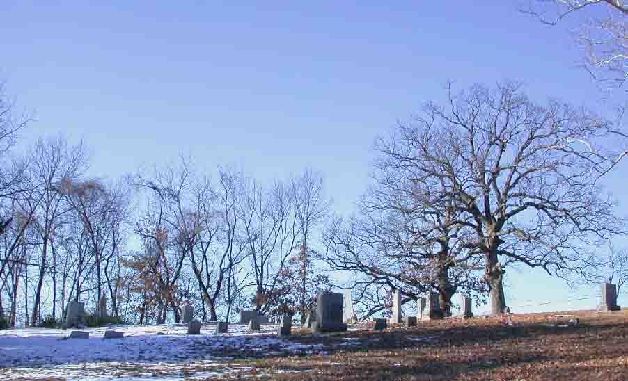
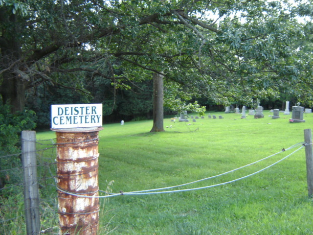
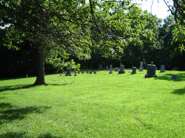
| Description | : | Located in Kansas City, Mo north of river. I-29 North to 56 th St exit, exit right and road will circle to go under overpass, go straight uphill heading west past the 3 way stop and Houston Lake, go 1 1/2 miles on 56 th St, cemetery located on left, well kept and clean.There are very few illegible or field stones here. Some were very hard to read due to age and location. |
frequently asked questions (FAQ):
-
Where is Deister Cemetery?
Deister Cemetery is located at Kansas City, Platte County ,Missouri ,USA.
-
Deister Cemetery cemetery's updated grave count on graveviews.com?
0 memorials
-
Where are the coordinates of the Deister Cemetery?
Latitude: 39.1959400
Longitude: -94.6439300
Nearby Cemetories:
1. Saint Matthew's Cemetery
Riverside, Platte County, USA
Coordinate: 39.1861153, -94.6130142
2. East Slope Memorial Gardens
Riverside, Platte County, USA
Coordinate: 39.1859320, -94.6124980
3. John and Elizabeth Brenner Memorial Cemetery
Riverside, Platte County, USA
Coordinate: 39.1819801, -94.6135178
4. Line Creek Cemetery
Platte Woods, Platte County, USA
Coordinate: 39.2225990, -94.6584015
5. Walnut Grove Cemetery
Parkville, Platte County, USA
Coordinate: 39.2022018, -94.6815033
6. Old Parkville Cemetery
Parkville, Platte County, USA
Coordinate: 39.2004900, -94.6828000
7. Church of the Redeemer
Kansas City, Platte County, USA
Coordinate: 39.2248800, -94.6603600
8. Old German Cemetery
Kansas City, Clay County, USA
Coordinate: 39.1885300, -94.6010100
9. Old Hoy Cemetery
Kansas City, Platte County, USA
Coordinate: 39.2210800, -94.6901600
10. Anders-Jacks Cemetery
Weatherby Lake, Platte County, USA
Coordinate: 39.2324700, -94.6919100
11. Sampell Cemetery
Parkville, Platte County, USA
Coordinate: 39.2168200, -94.7150400
12. Barry Cemetery
Barry, Clay County, USA
Coordinate: 39.2444000, -94.5963974
13. Old Parkville At Pitt Woods Cemetery
Platte County, USA
Coordinate: 39.1974900, -94.7242100
14. North Cross Methodist Church Memorial Garden
Kansas City, Clay County, USA
Coordinate: 39.1806410, -94.5635200
15. Rolling Acres Memorial Gardens for Pets
Platte County, USA
Coordinate: 39.2254715, -94.7206421
16. Wilsons Cemetery
Barry, Clay County, USA
Coordinate: 39.2528800, -94.5982800
17. Lynch Cemetery
Platte County, USA
Coordinate: 39.2591100, -94.6760100
18. Gash Cemetery
Gashland, Clay County, USA
Coordinate: 39.2467613, -94.5848846
19. Faubion Cemetery
Gladstone, Clay County, USA
Coordinate: 39.2246017, -94.5617981
20. Ray Cemetery
Platte County, USA
Coordinate: 39.1941000, -94.7392000
21. Antioch Community Church Columbarium
Kansas City, Clay County, USA
Coordinate: 39.1813695, -94.5483659
22. Starks Cemetery
Clay County, USA
Coordinate: 39.2150210, -94.5464510
23. Noland Cemetery
Weatherby Lake, Platte County, USA
Coordinate: 39.2358500, -94.7306600
24. Squires-Hevalow Cemetery
Platte County, USA
Coordinate: 39.2058100, -94.7466200


