
| Memorials | : | 3100 |
| Location | : | Riverside, Platte County, USA |
| Phone | : | (816) 741-1881 |
| Coordinate | : | 39.1859320, -94.6124980 |
frequently asked questions (FAQ):
-
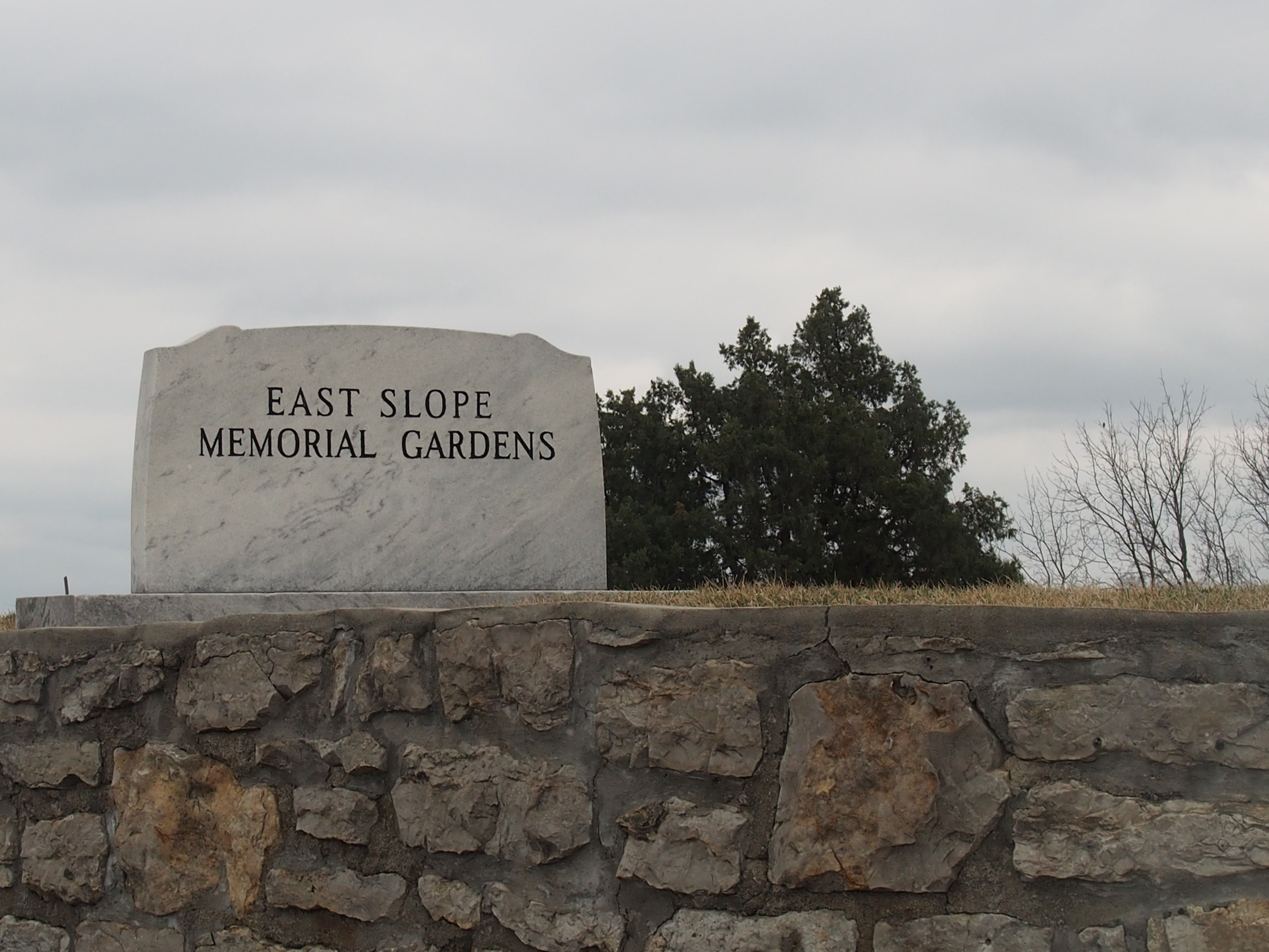
Where is East Slope Memorial Gardens?
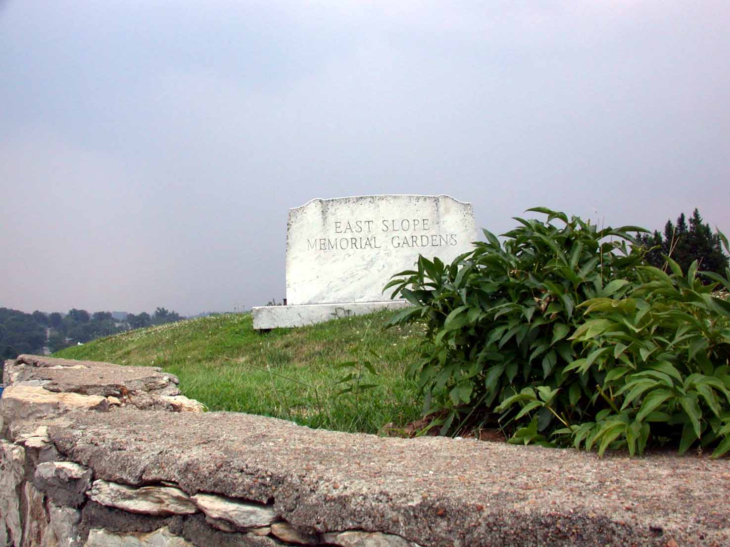
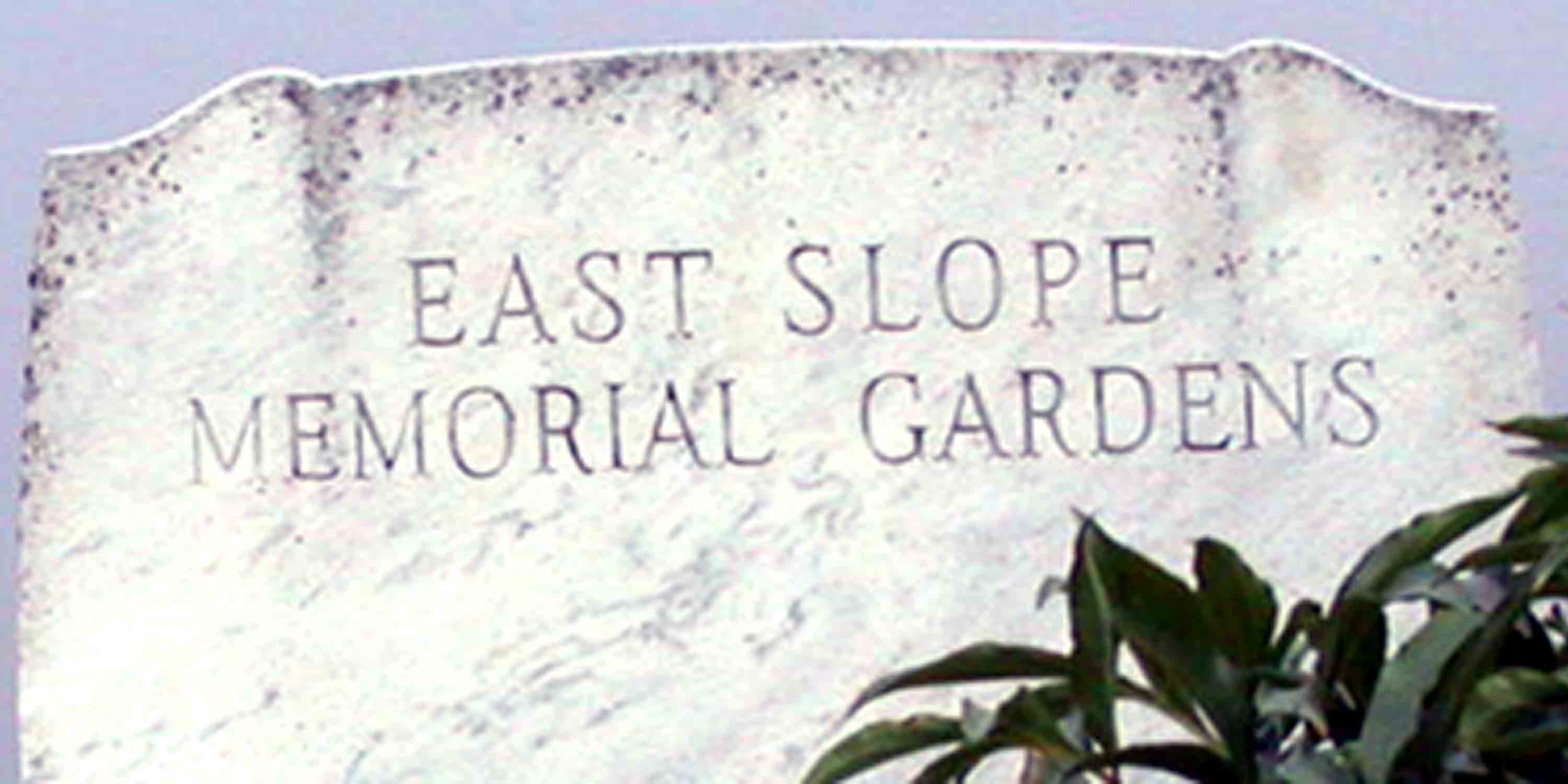
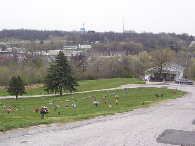
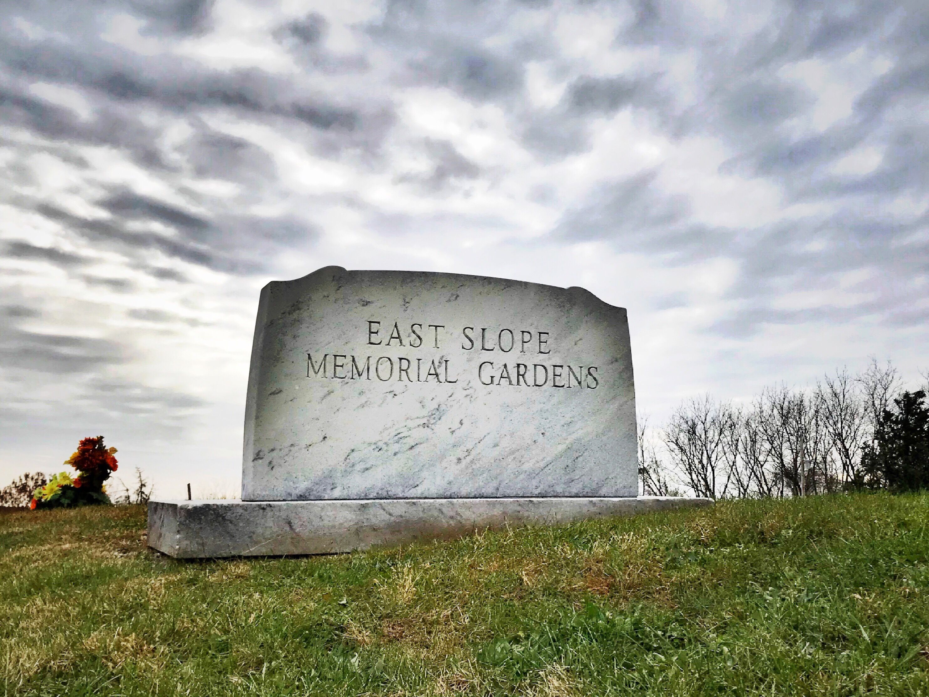
East Slope Memorial Gardens is located at 5011 NW Gateway Avenue Riverside, Platte County ,Missouri , 64150USA.
-
East Slope Memorial Gardens cemetery's updated grave count on graveviews.com?
76 memorials
-
Where are the coordinates of the East Slope Memorial Gardens?
Latitude: 39.1859320
Longitude: -94.6124980

Nearby Cemetories:
1. Saint Matthew's Cemetery
Riverside, Platte County, USA
Coordinate: 39.1861153, -94.6130142
2. John and Elizabeth Brenner Memorial Cemetery
Riverside, Platte County, USA
Coordinate: 39.1819801, -94.6135178
3. Old German Cemetery
Kansas City, Clay County, USA
Coordinate: 39.1885300, -94.6010100
4. Deister Cemetery
Kansas City, Platte County, USA
Coordinate: 39.1959400, -94.6439300
5. North Cross Methodist Church Memorial Garden
Kansas City, Clay County, USA
Coordinate: 39.1806410, -94.5635200
6. Antioch Community Church Columbarium
Kansas City, Clay County, USA
Coordinate: 39.1813695, -94.5483659
7. Line Creek Cemetery
Platte Woods, Platte County, USA
Coordinate: 39.2225990, -94.6584015
8. Church of the Redeemer
Kansas City, Platte County, USA
Coordinate: 39.2248800, -94.6603600
9. Faubion Cemetery
Gladstone, Clay County, USA
Coordinate: 39.2246017, -94.5617981
10. Walnut Grove Cemetery
Parkville, Platte County, USA
Coordinate: 39.2022018, -94.6815033
11. Church of the Good Shepherd Episcopal Columbarium
Kansas City, Clay County, USA
Coordinate: 39.1852600, -94.5399800
12. Old Parkville Cemetery
Parkville, Platte County, USA
Coordinate: 39.2004900, -94.6828000
13. Ricketts Cemetery
Kansas City, Clay County, USA
Coordinate: 39.1638718, -94.5430145
14. Starks Cemetery
Clay County, USA
Coordinate: 39.2150210, -94.5464510
15. Barry Cemetery
Barry, Clay County, USA
Coordinate: 39.2444000, -94.5963974
16. White Chapel Memorial Gardens
Gladstone, Clay County, USA
Coordinate: 39.2111015, -94.5372009
17. Gash Cemetery
Gashland, Clay County, USA
Coordinate: 39.2467613, -94.5848846
18. New Stark Cemetery
Gladstone, Clay County, USA
Coordinate: 39.2056007, -94.5291977
19. Big Shoal Cemetery
Gladstone, Clay County, USA
Coordinate: 39.2098503, -94.5307312
20. Wilsons Cemetery
Barry, Clay County, USA
Coordinate: 39.2528800, -94.5982800
21. Old Hoy Cemetery
Kansas City, Platte County, USA
Coordinate: 39.2210800, -94.6901600
22. Fountain Waller Cemetery
Gladstone, Clay County, USA
Coordinate: 39.2078700, -94.5258500
23. Craig Cemetery
Clay County, USA
Coordinate: 39.2477112, -94.5638733
24. Roberts Cemetery
Clay County, USA
Coordinate: 39.1581600, -94.5235900