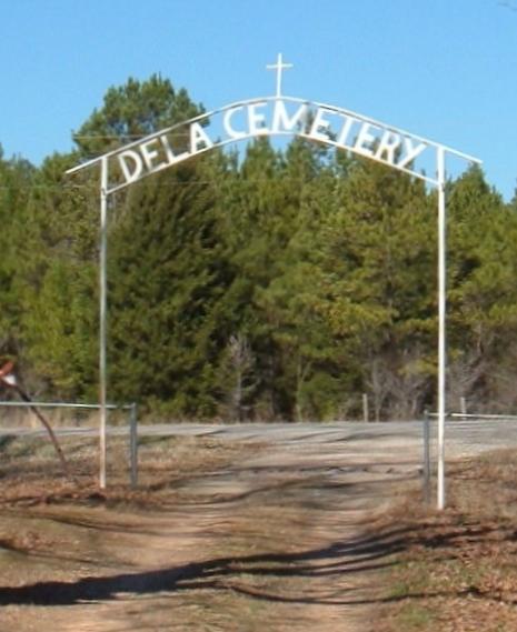
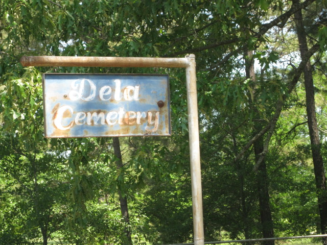
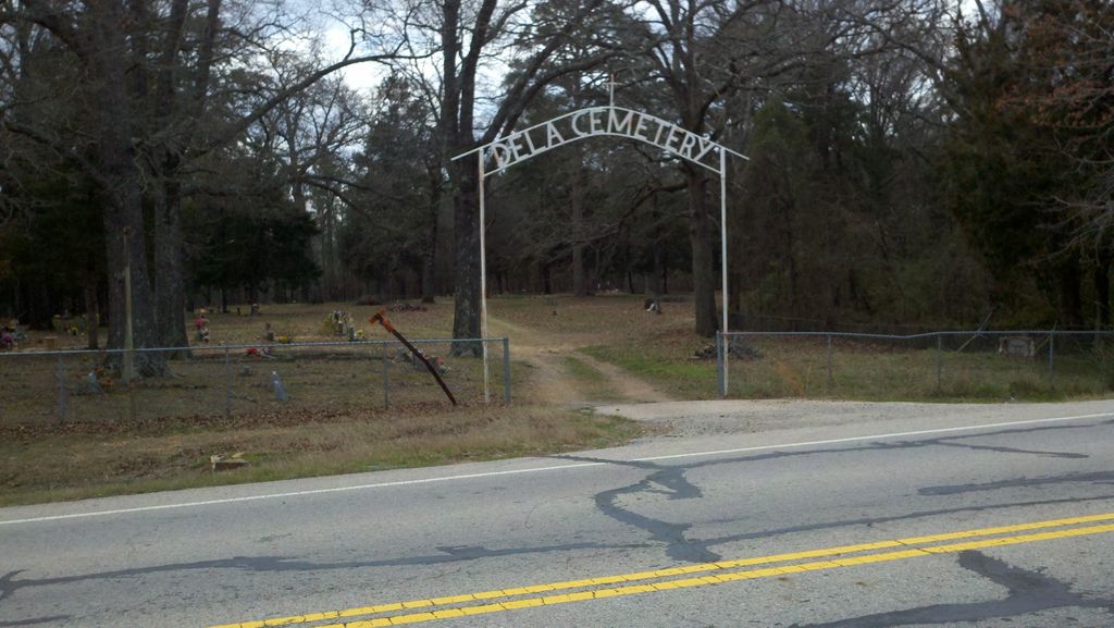
| Memorials | : | 2 |
| Location | : | Dela, Pushmataha County, USA |
| Coordinate | : | 34.1994019, -95.5199966 |
| Description | : | "White Church was whitewashed with lime, giving it its name. Its logs had been hauled from Fort Towson for construction. By the late 1930s historical accounts say the Choctaws who formerly lived nearby and worshipped at the church were deceased and the church was defunct. The church property had been purchased by a white farmer, who razed the structure. Its cemetery survives as Dela Cemetery." [“Bud Boyd”, Indian-Pioneer Papers, Western History Collections, University of Oklahoma Libraries] |
frequently asked questions (FAQ):
-
Where is Dela Cemetery?
Dela Cemetery is located at Dela, Pushmataha County ,Oklahoma ,USA.
-
Dela Cemetery cemetery's updated grave count on graveviews.com?
2 memorials
-
Where are the coordinates of the Dela Cemetery?
Latitude: 34.1994019
Longitude: -95.5199966
Nearby Cemetories:
1. Ethel Cemetery
Antlers, Pushmataha County, USA
Coordinate: 34.2219400, -95.5425100
2. Belzoni Cemetery
Antlers, Pushmataha County, USA
Coordinate: 34.1824989, -95.4396973
3. Cloninger Family Cemetery
Choctaw County, USA
Coordinate: 34.1325800, -95.5747200
4. Odd Fellows Cemetery
Antlers, Pushmataha County, USA
Coordinate: 34.2393990, -95.6082993
5. Songer Family Cemetery
Speer, Choctaw County, USA
Coordinate: 34.1279000, -95.5879000
6. Antlers City Cemetery
Antlers, Pushmataha County, USA
Coordinate: 34.2272000, -95.6267400
7. Rattan Cemetery
Rattan, Pushmataha County, USA
Coordinate: 34.1911011, -95.4011002
8. Clark Family Cemetery
Choctaw County, USA
Coordinate: 34.1112100, -95.5843500
9. Speer Cemetery
Choctaw County, USA
Coordinate: 34.0986700, -95.5647500
10. Pisachubbee Cemetery
Speer, Choctaw County, USA
Coordinate: 34.0960361, -95.5569440
11. Fennel Cemetery
Messer, Choctaw County, USA
Coordinate: 34.0913500, -95.4695000
12. Hall Cemetery
Antlers, Pushmataha County, USA
Coordinate: 34.1921997, -95.6611023
13. Long Creek Cemetery
Hugo, Choctaw County, USA
Coordinate: 34.0824700, -95.5389800
14. Woodlawn Cemetery
Choctaw County, USA
Coordinate: 34.0849991, -95.4811020
15. Finley Cemetery
Finley, Pushmataha County, USA
Coordinate: 34.3274994, -95.5008011
16. Nelson - Indian Cemetery
Choctaw County, USA
Coordinate: 34.1285200, -95.6520100
17. Sand Bluff Cemetery
Sand Bluff, Choctaw County, USA
Coordinate: 34.0616000, -95.5039000
18. Walker Cemetery
Nelson, Choctaw County, USA
Coordinate: 34.1149000, -95.6584000
19. Spencerville Cemetery
Spencerville, Choctaw County, USA
Coordinate: 34.1467018, -95.3522034
20. Long Creek Cemetery
Messer, Choctaw County, USA
Coordinate: 34.0548800, -95.4682100
21. Dixon Chapel Cemetery
Choctaw County, USA
Coordinate: 34.0956001, -95.3852997
22. Thomas Family Cemetery
Spencerville, Choctaw County, USA
Coordinate: 34.1026200, -95.3737300
23. Schooler Lake Cemetery
Choctaw County, USA
Coordinate: 34.1026200, -95.3737300
24. One Creek Valley Cemetery
Finley, Pushmataha County, USA
Coordinate: 34.3361015, -95.4156036


