
| Memorials | : | 0 |
| Location | : | Randolph County, USA |
| Coordinate | : | 39.3397950, -92.7044400 |
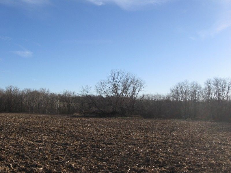
| Description | : | Located in T52 R16 S3 on the south side of CR 2085 just east of the Chariton Co line The actual location of this cemetery is unknown. This possible location is based on land records and family histories. One online source says: "After her husband, Joseph, died in 1831, Philadelphia moved her maily of eight sons and four daughters to Randolph Co., Missouri. They settled on a farm 2 1/2 miles north of Roanoke, MO. Philadelphia and her children all worked very hard in the fields, enabling her to pay for the farm. She lived there... Read More |
frequently asked questions (FAQ):
-
Where is Delphi Robertson Cemetery?
Delphi Robertson Cemetery is located at Randolph County ,Missouri ,USA.
-
Delphi Robertson Cemetery cemetery's updated grave count on graveviews.com?
0 memorials
-
Where are the coordinates of the Delphi Robertson Cemetery?
Latitude: 39.3397950
Longitude: -92.7044400

Nearby Cemetories:
1. Mansfield Cemetery
Randolph County, USA
Coordinate: 39.3321050, -92.6983690
2. Head Family Cemetery
Randolph County, USA
Coordinate: 39.3468500, -92.6771800
3. Butner Cemetery
Salisbury Township, Chariton County, USA
Coordinate: 39.3577003, -92.7220001
4. Mason-Mott Cemetery
Howard County, USA
Coordinate: 39.3278870, -92.7338760
5. Ferguson Farm Cemetery
Mount Airy, Randolph County, USA
Coordinate: 39.3380370, -92.6694590
6. Patterson-Perrin Cemetery
Howard County, USA
Coordinate: 39.3212840, -92.7306180
7. Mott Cemetery
Salisbury Township, Chariton County, USA
Coordinate: 39.3577995, -92.7394028
8. Gooch Cemetery
Salisbury Township, Chariton County, USA
Coordinate: 39.3695410, -92.7223460
9. Dennis Cemetery
Salisbury Township, Chariton County, USA
Coordinate: 39.3726006, -92.7102966
10. Winn Cemetery
Salisbury Township, Chariton County, USA
Coordinate: 39.3423996, -92.7480011
11. Mayo Graveyard
Mount Airy, Randolph County, USA
Coordinate: 39.3698380, -92.6755570
12. McDavitt Family Cemetery
Randolph County, USA
Coordinate: 39.3743360, -92.6806940
13. Goodman Cemetery
Mount Airy, Randolph County, USA
Coordinate: 39.3629680, -92.6539190
14. Brummall Cemetery
Salisbury Township, Chariton County, USA
Coordinate: 39.3727989, -92.7630005
15. Switzer Mill Cemetery
Salisbury Township, Chariton County, USA
Coordinate: 39.3414993, -92.7811966
16. Old Mount Airy-Stark Cemetery
Randolph County, USA
Coordinate: 39.3760700, -92.6418100
17. Williams Cemetery #1
Salisbury Township, Chariton County, USA
Coordinate: 39.3890991, -92.7550964
18. Pitts Family Cemetery
Randolph County, USA
Coordinate: 39.3126670, -92.6302160
19. Snoddy-Garner Cemetery
Armstrong, Howard County, USA
Coordinate: 39.2854700, -92.7500800
20. Phelps Cemetery
Salisbury Township, Chariton County, USA
Coordinate: 39.3726997, -92.7770004
21. Lee Cemetery
Salisbury Township, Chariton County, USA
Coordinate: 39.3997993, -92.7395020
22. Hurt Cemetery
Mount Airy, Randolph County, USA
Coordinate: 39.3720890, -92.6300010
23. Babcock Farm Cemetery
Clifton Hill, Randolph County, USA
Coordinate: 39.4036000, -92.6660000
24. Pleasant Hope Cemetery
Salisbury Township, Chariton County, USA
Coordinate: 39.3694000, -92.7900009