
| Memorials | : | 4 |
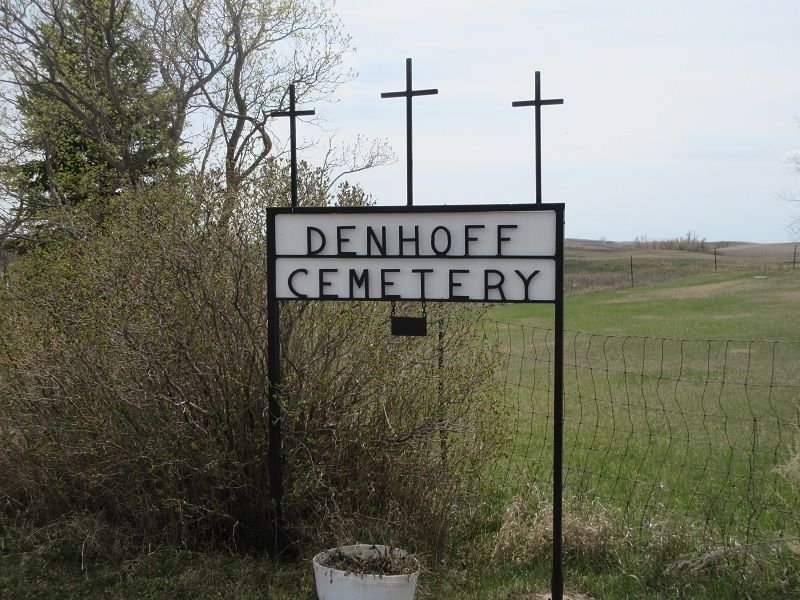
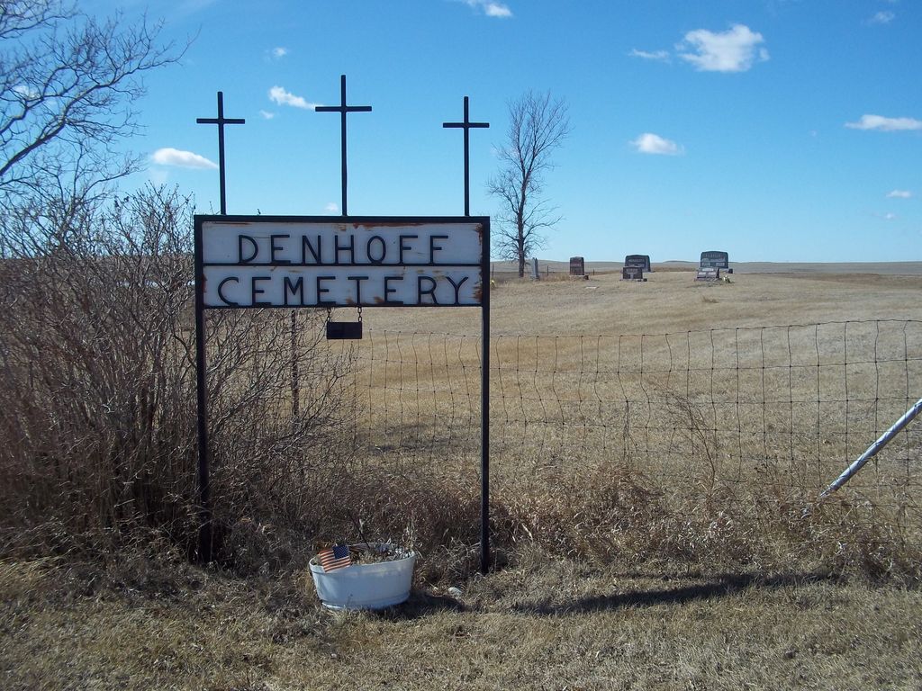
| Location | : | Denhoff, Sheridan County, USA |
| Coordinate | : | 47.4839973, -100.2679291 |
| Description | : | This Cemetery is also know as the: Denhoff Zion Lutheran Cemetery. |
frequently asked questions (FAQ):
-
Where is Denhoff Cemetery?
Denhoff Cemetery is located at Denhoff, Sheridan County ,North Dakota ,USA.
-
Denhoff Cemetery cemetery's updated grave count on graveviews.com?
4 memorials
-
Where are the coordinates of the Denhoff Cemetery?
Latitude: 47.4839973
Longitude: -100.2679291

Nearby Cemetories:
1. Denhoff Catholic Cemetery
Denhoff, Sheridan County, USA
Coordinate: 47.4853247, -100.2673544
2. Denhoff Adventist Cemetery
Sheridan County, USA
Coordinate: 47.4197006, -100.2446976
3. First German Baptist Church Cemetery
McClusky, Sheridan County, USA
Coordinate: 47.4450684, -100.3536987
4. Goodrich Seventh-Day Adventist Cemetery
Goodrich, Sheridan County, USA
Coordinate: 47.4803200, -100.1402969
5. Goodrich Cemetery
Goodrich, Sheridan County, USA
Coordinate: 47.4716988, -100.1406021
6. Saint Jacobus Lutheran Cemetery
Sheridan County, USA
Coordinate: 47.5739100, -100.1917600
7. McClusky City Cemetery
McClusky, Sheridan County, USA
Coordinate: 47.4801178, -100.4373550
8. Holy Family Catholic Cemetery
McClusky, Sheridan County, USA
Coordinate: 47.4807854, -100.4375076
9. Fairview Cemetery
Sheridan County, USA
Coordinate: 47.6032982, -100.1502991
10. Lincoln Valley Seventh-Day Adventist Cemetery
Lincoln Valley, Sheridan County, USA
Coordinate: 47.6179466, -100.3515167
11. Hieb-Huft Cemetery
McClusky, Sheridan County, USA
Coordinate: 47.6029100, -100.3952700
12. Seventh Day Adventist Conference Cemetery
McClusky, Sheridan County, USA
Coordinate: 47.5598340, -100.4595420
13. Westheim Cemetery
Sheridan County, USA
Coordinate: 47.5421982, -100.4807968
14. Lincoln Valley Baptist Cemetery
Lincoln Valley, Sheridan County, USA
Coordinate: 47.6469688, -100.2972870
15. Hoffer-Krein Cemetery
McClusky, Sheridan County, USA
Coordinate: 47.6240768, -100.4155426
16. Saint Emanuel Evangelical Lutheran Cemetery
Sheridan County, USA
Coordinate: 47.6594009, -100.2247009
17. Mountain City Cemetery
McClusky, Sheridan County, USA
Coordinate: 47.5677567, -100.5018082
18. Stark Mennonite Church Cemetery
Wing, Burleigh County, USA
Coordinate: 47.3153800, -100.1770700
19. Hazel Grove Cemetery
Wing, Burleigh County, USA
Coordinate: 47.3150940, -100.1690700
20. Lincoln Valley Lutheran Cemetery
Lincoln Valley, Sheridan County, USA
Coordinate: 47.6722527, -100.3097916
21. Evangelical United Brethren Cemetery
McClusky, Sheridan County, USA
Coordinate: 47.6184450, -100.4958980
22. Kassel Reformed Church Cemetery
Lincoln Valley, Sheridan County, USA
Coordinate: 47.6878431, -100.3061804
23. Zion Cemetery
Sheridan County, USA
Coordinate: 47.6493988, -100.0755997
24. Last Rest Cemetery
McClusky, Sheridan County, USA
Coordinate: 47.3417900, -100.5028400