
| Memorials | : | 0 |
| Location | : | Scottsdale, Maricopa County, USA |
| Phone | : | (480) 585-8007 |
| Website | : | dflc.org |
| Coordinate | : | 33.7522100, -111.9246450 |
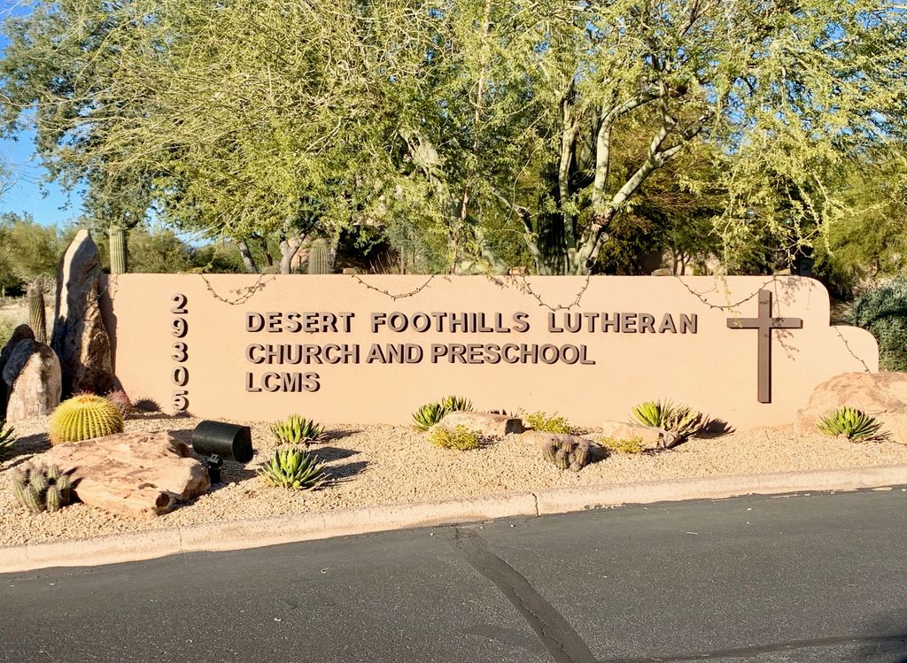
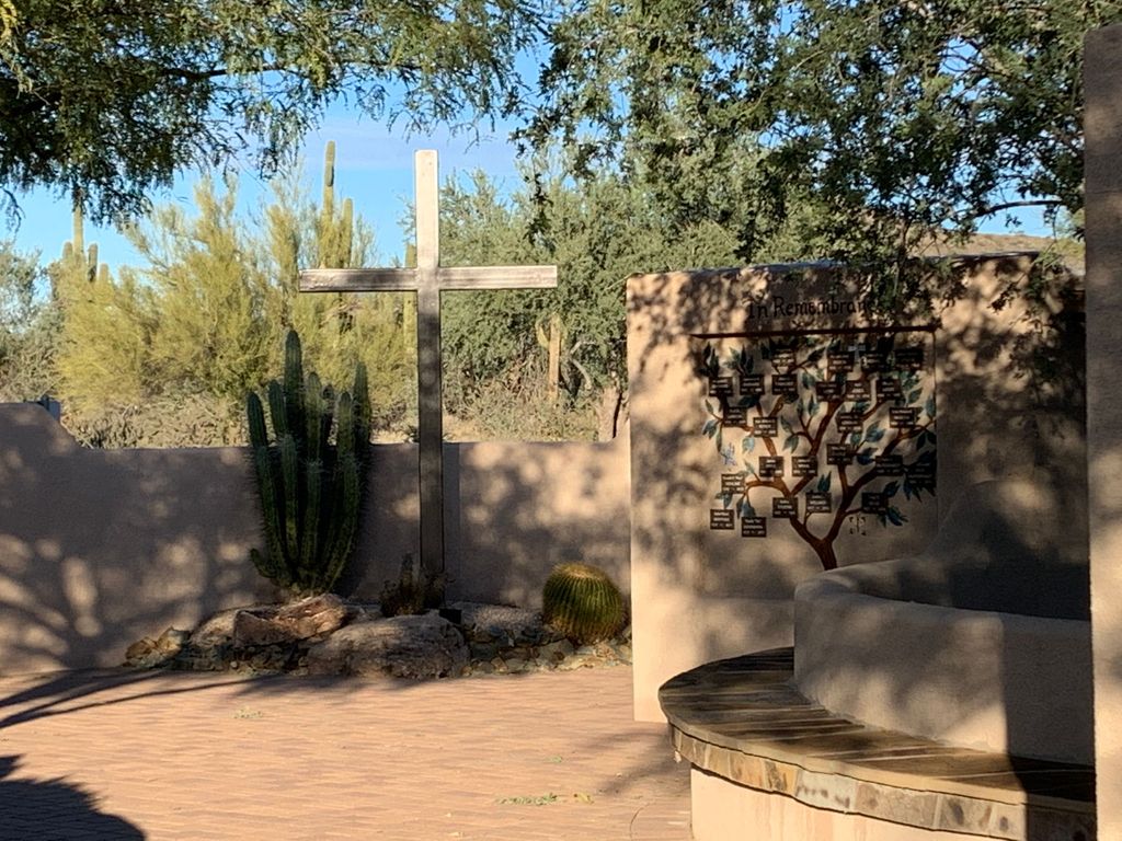
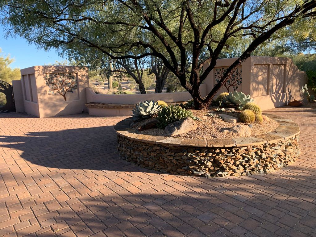
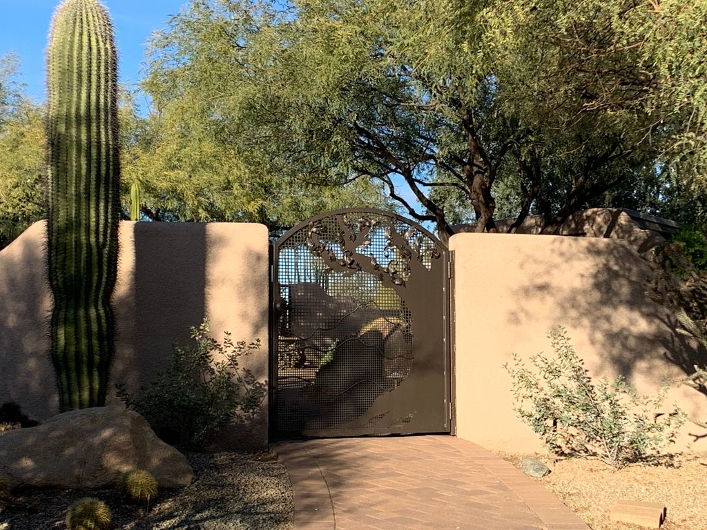
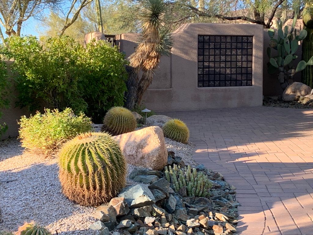
| Description | : | The memorial garden is a lovely setting at a short distance from the main church complex. It is walled but the gate is not locked. |
frequently asked questions (FAQ):
-
Where is Desert Foothills Lutheran Church Memorial Garden?
Desert Foothills Lutheran Church Memorial Garden is located at 29305 N. Scottsdale Rd. Scottsdale, Maricopa County ,Arizona , 85266USA.
-
Desert Foothills Lutheran Church Memorial Garden cemetery's updated grave count on graveviews.com?
0 memorials
-
Where are the coordinates of the Desert Foothills Lutheran Church Memorial Garden?
Latitude: 33.7522100
Longitude: -111.9246450
Nearby Cemetories:
1. Pinnacle Presbyterian Church Memorial Garden
Scottsdale, Maricopa County, USA
Coordinate: 33.7147000, -111.8927000
2. Mount Sinai Cemetery
Scottsdale, Maricopa County, USA
Coordinate: 33.7069940, -111.9355160
3. Mt. Sinai Cemetery
Phoenix, Maricopa County, USA
Coordinate: 33.7063131, -111.9338490
4. Desert Hills Presbyterian Church Memorial Garden
Scottsdale, Maricopa County, USA
Coordinate: 33.8001000, -111.9271000
5. Living Water Lutheran Church Columbarium
Scottsdale, Maricopa County, USA
Coordinate: 33.7125290, -111.8823470
6. Christ Anglican Church Columbarium
Cave Creek, Maricopa County, USA
Coordinate: 33.8068640, -111.9598820
7. Christ Anglican Church Columbarium
Carefree, Maricopa County, USA
Coordinate: 33.8069650, -111.9596710
8. Cave Creek Cemetery
Carefree, Maricopa County, USA
Coordinate: 33.8163986, -111.8899994
9. Christ the Lord Lutheran Church Columbarium
Carefree, Maricopa County, USA
Coordinate: 33.8220000, -111.8820000
10. National Memorial Cemetery of Arizona
Phoenix, Maricopa County, USA
Coordinate: 33.6944008, -112.0189972
11. Holy Redeemer Cemetery
Phoenix, Maricopa County, USA
Coordinate: 33.6958340, -112.0278350
12. La Casa de Cristo Lutheran Church Memorial Garden
Scottsdale, Maricopa County, USA
Coordinate: 33.6418570, -111.9450960
13. Hansens Desert Hills Memorial Park and Mortuary
Scottsdale, Maricopa County, USA
Coordinate: 33.6409111, -111.9409332
14. Alcor Life Extension Foundation
Scottsdale, Maricopa County, USA
Coordinate: 33.6176000, -111.9110000
15. Phoenix Memorial Park and Mortuary
Phoenix, Maricopa County, USA
Coordinate: 33.6697006, -112.0764008
16. North Scottsdale UMC Memorial Garden
Scottsdale, Maricopa County, USA
Coordinate: 33.5928700, -111.9256200
17. Taliesin West Burial Site
Scottsdale, Maricopa County, USA
Coordinate: 33.6056130, -111.8457130
18. All Saints Lutheran Memorial Garden Columbarium
Phoenix, Maricopa County, USA
Coordinate: 33.6293150, -112.0637270
19. Chaparral Christian Church Memorial Garden
Maricopa County, USA
Coordinate: 33.5809510, -111.9411110
20. Paradise Memorial Gardens
Scottsdale, Maricopa County, USA
Coordinate: 33.5842018, -111.8796997
21. Mountain View Presbyterian Church Memorial Garden
Scottsdale, Maricopa County, USA
Coordinate: 33.5755940, -111.9069290
22. Saint Anthony on the Desert Church Columbarium
Scottsdale, Maricopa County, USA
Coordinate: 33.5834122, -111.8012543
23. Shadow Rock Congregational Church Cemetery
Phoenix, Maricopa County, USA
Coordinate: 33.6025000, -112.0832000
24. Christ's Church of Fountain Hills Columbarium
Fountain Hills, Maricopa County, USA
Coordinate: 33.6192560, -111.7354740