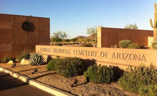
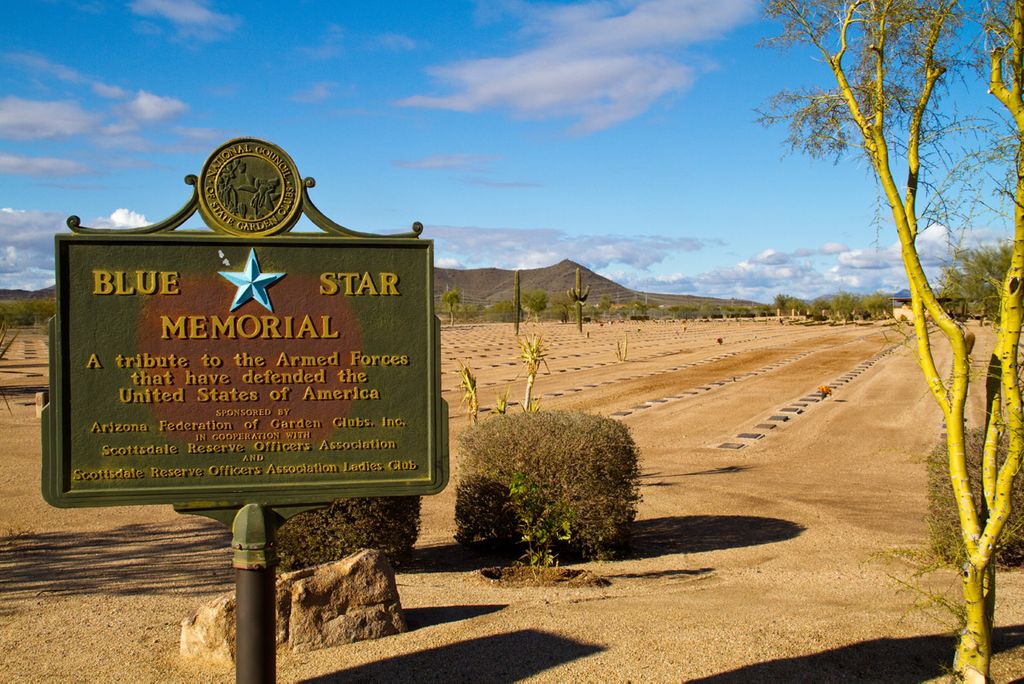
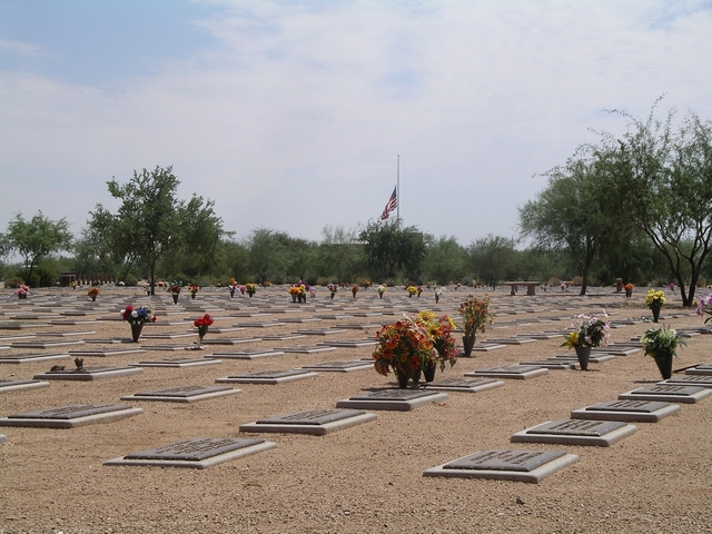
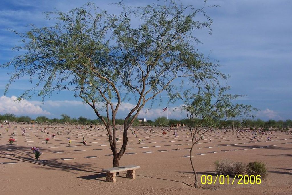
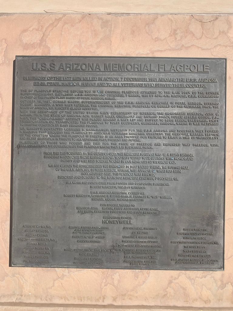
| Memorials | : | 74 |
| Location | : | Phoenix, Maricopa County, USA |
| Phone | : | 480-513-3600 |
| Coordinate | : | 33.6944008, -112.0189972 |
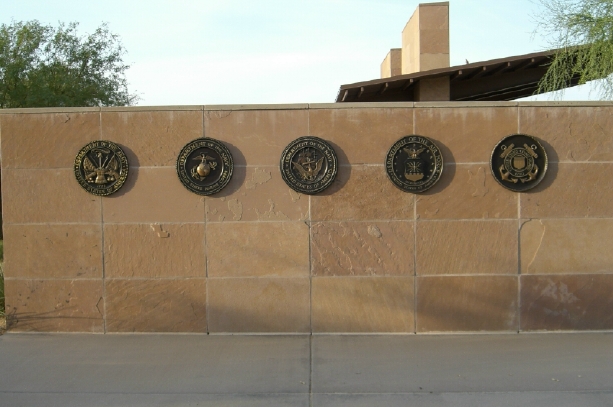
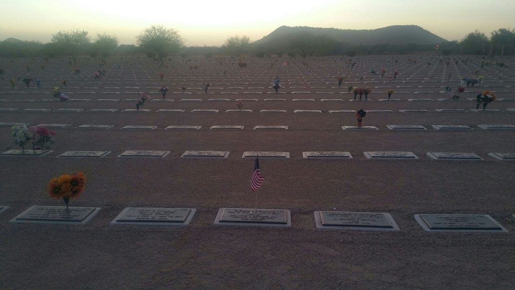
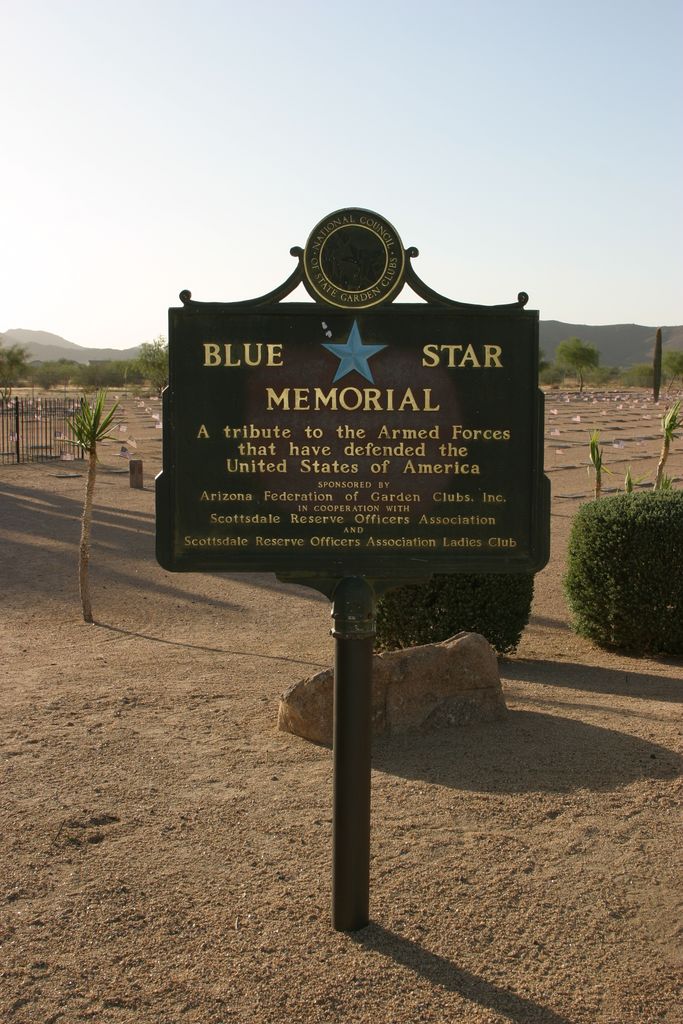
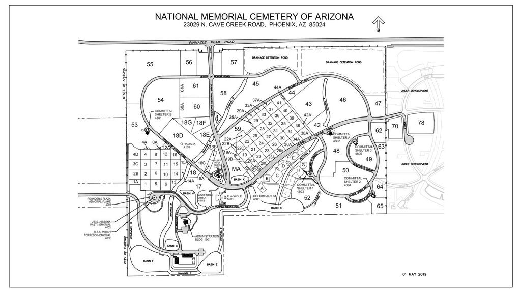
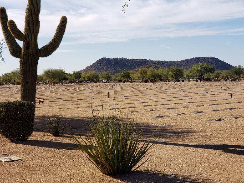
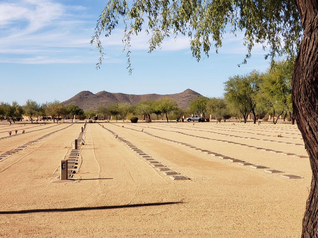
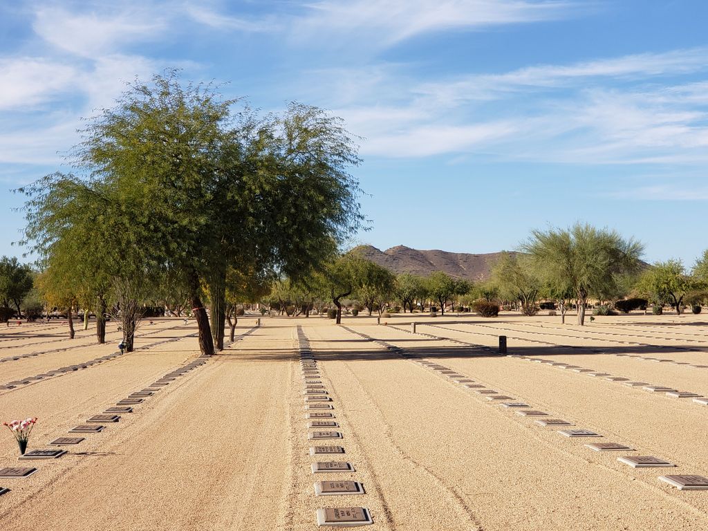
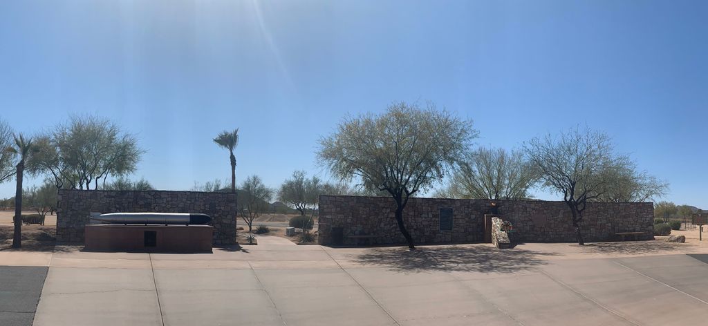
| Description | : | Office hours are Monday thru Friday 8:00 a.m. to 4:30 p.m. Closed federal holidays except Memorial Day. Cemetery Visitation Hours: Open daily from sunrise to sunset. Directions from nearest airport: From Airport: Take Interstate 10 West to State Route 51 North. Follow State Route 51 to Loop 101 West. Following Loop 101 West to Cave Creek Road. Turn North on Cave Creek Road to Pinnacle Peak Road, turn East on Pinnacle Peak Road and go ¼ mile. Cemetery will be on the right. A state law was passed in 1976 and signed by Governor Raul Castro authorizing the development of a state veterans cemetery.... Read More |
frequently asked questions (FAQ):
-
Where is National Memorial Cemetery of Arizona?
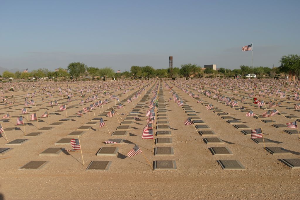
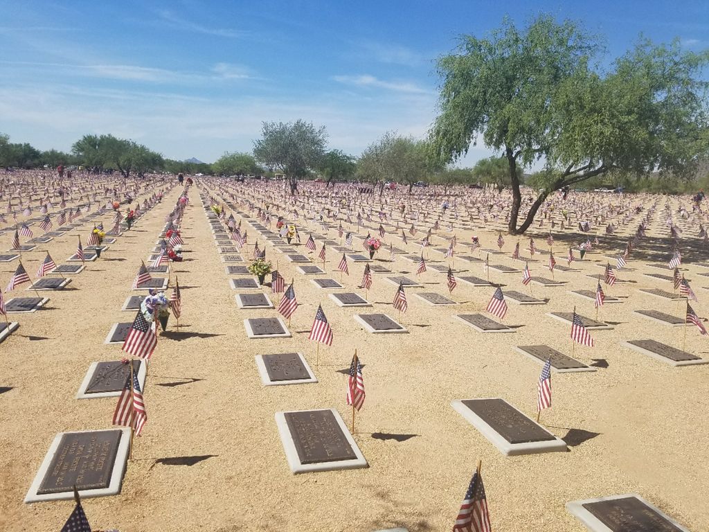
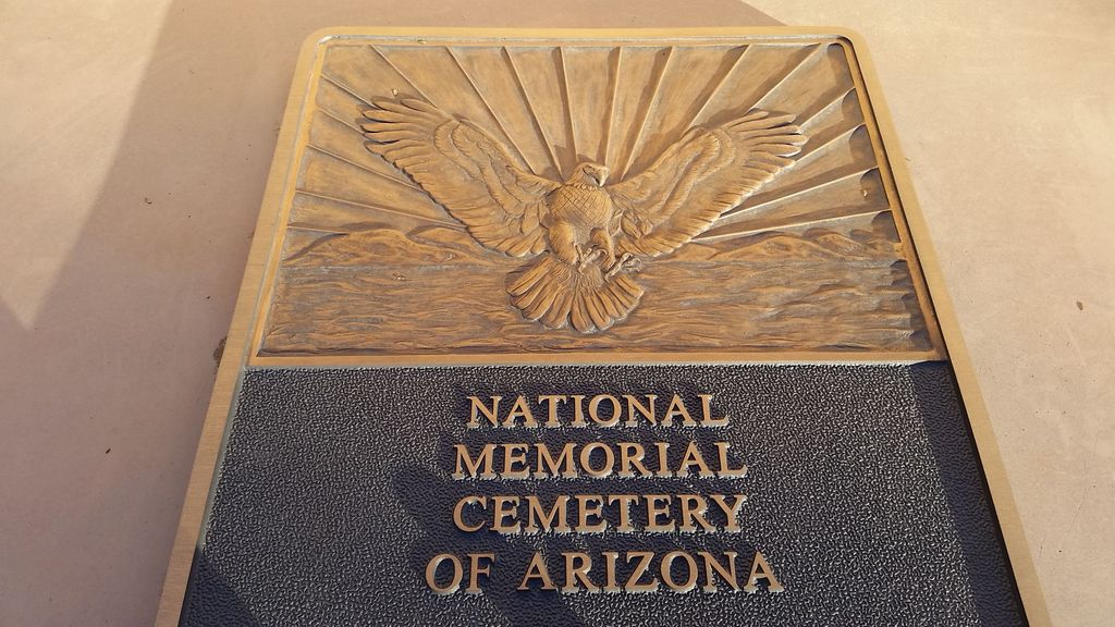
National Memorial Cemetery of Arizona is located at 23029 North Cave Creek Road Phoenix, Maricopa County ,Arizona , 85024USA.
-
National Memorial Cemetery of Arizona cemetery's updated grave count on graveviews.com?
66 memorials
-
Where are the coordinates of the National Memorial Cemetery of Arizona?
Latitude: 33.6944008
Longitude: -112.0189972
Nearby Cemetories:
1. Holy Redeemer Cemetery
Phoenix, Maricopa County, USA
Coordinate: 33.6958340, -112.0278350
2. Phoenix Memorial Park and Mortuary
Phoenix, Maricopa County, USA
Coordinate: 33.6697006, -112.0764008
3. Mount Sinai Cemetery
Scottsdale, Maricopa County, USA
Coordinate: 33.7069940, -111.9355160
4. Mt. Sinai Cemetery
Phoenix, Maricopa County, USA
Coordinate: 33.7063131, -111.9338490
5. All Saints Lutheran Memorial Garden Columbarium
Phoenix, Maricopa County, USA
Coordinate: 33.6293150, -112.0637270
6. La Casa de Cristo Lutheran Church Memorial Garden
Scottsdale, Maricopa County, USA
Coordinate: 33.6418570, -111.9450960
7. Hansens Desert Hills Memorial Park and Mortuary
Scottsdale, Maricopa County, USA
Coordinate: 33.6409111, -111.9409332
8. Desert Foothills Lutheran Church Memorial Garden
Scottsdale, Maricopa County, USA
Coordinate: 33.7522100, -111.9246450
9. Shadow Rock Congregational Church Cemetery
Phoenix, Maricopa County, USA
Coordinate: 33.6025000, -112.0832000
10. Pinnacle Presbyterian Church Memorial Garden
Scottsdale, Maricopa County, USA
Coordinate: 33.7147000, -111.8927000
11. Living Water Lutheran Church Columbarium
Scottsdale, Maricopa County, USA
Coordinate: 33.7125290, -111.8823470
12. Alcor Life Extension Foundation
Scottsdale, Maricopa County, USA
Coordinate: 33.6176000, -111.9110000
13. Christ Anglican Church Columbarium
Cave Creek, Maricopa County, USA
Coordinate: 33.8068640, -111.9598820
14. Christ Anglican Church Columbarium
Carefree, Maricopa County, USA
Coordinate: 33.8069650, -111.9596710
15. North Scottsdale UMC Memorial Garden
Scottsdale, Maricopa County, USA
Coordinate: 33.5928700, -111.9256200
16. Desert Hills Presbyterian Church Memorial Garden
Scottsdale, Maricopa County, USA
Coordinate: 33.8001000, -111.9271000
17. Chaparral Christian Church Memorial Garden
Maricopa County, USA
Coordinate: 33.5809510, -111.9411110
18. Shepherd of the Valley United Methodist Church
Phoenix, Maricopa County, USA
Coordinate: 33.5959600, -112.1250450
19. Trinity Lutheran Church Columbarium
Phoenix, Maricopa County, USA
Coordinate: 33.5723530, -112.0829490
20. Saint Stephen's Catholic Church and Columbarium
Phoenix, Maricopa County, USA
Coordinate: 33.5563786, -112.0479130
21. Mountain View Presbyterian Church Memorial Garden
Scottsdale, Maricopa County, USA
Coordinate: 33.5755940, -111.9069290
22. Orangewood Presbyterian Church Memorial Gardens
Phoenix, Maricopa County, USA
Coordinate: 33.5442630, -112.0601860
23. Paradise Memorial Gardens
Scottsdale, Maricopa County, USA
Coordinate: 33.5842018, -111.8796997
24. Cave Creek Cemetery
Carefree, Maricopa County, USA
Coordinate: 33.8163986, -111.8899994

