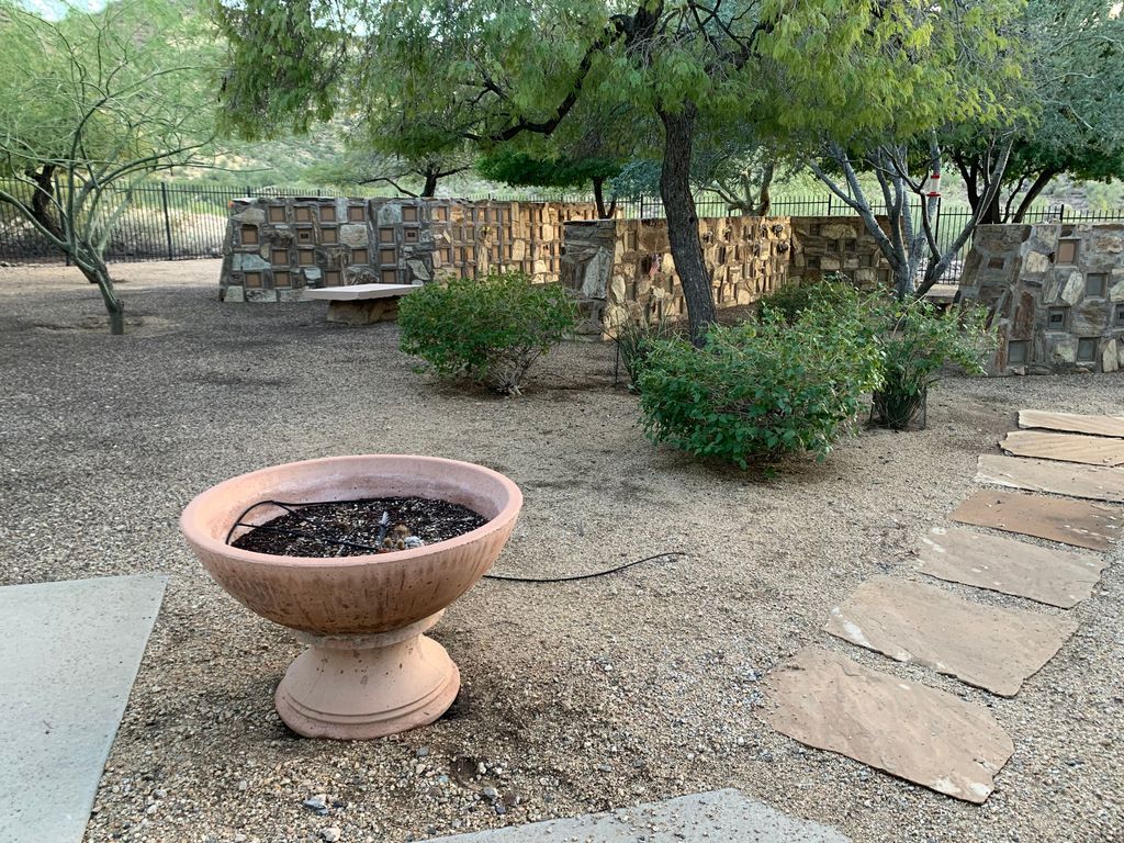
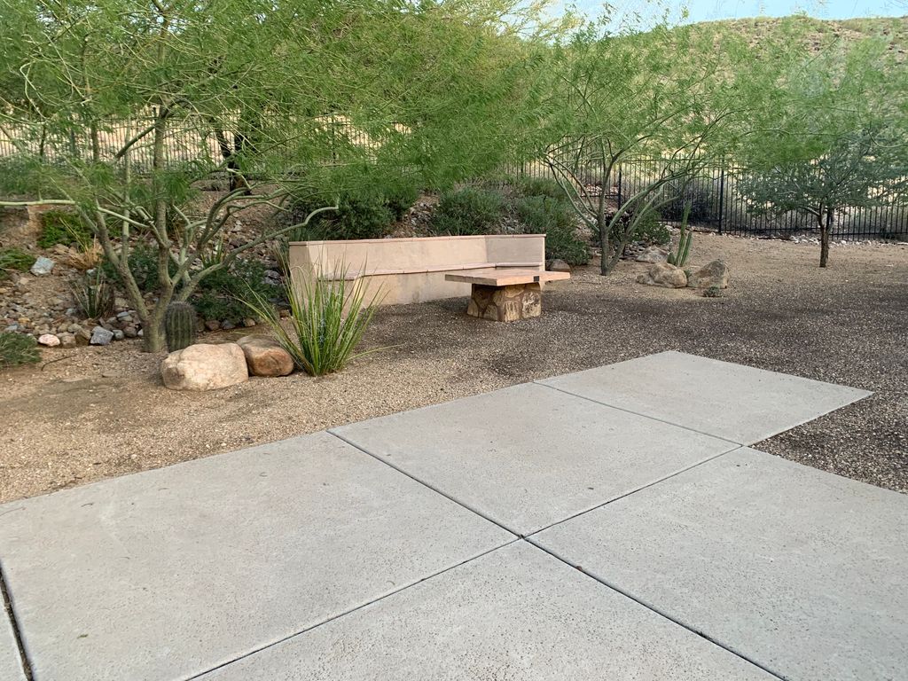
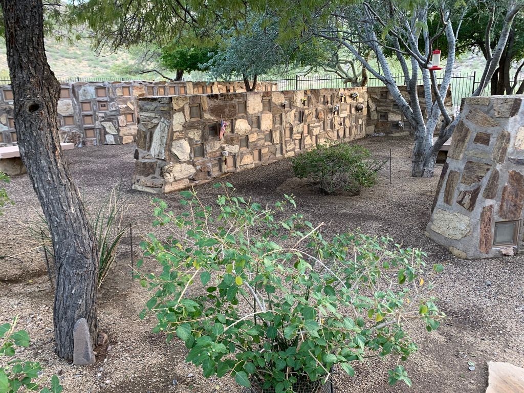
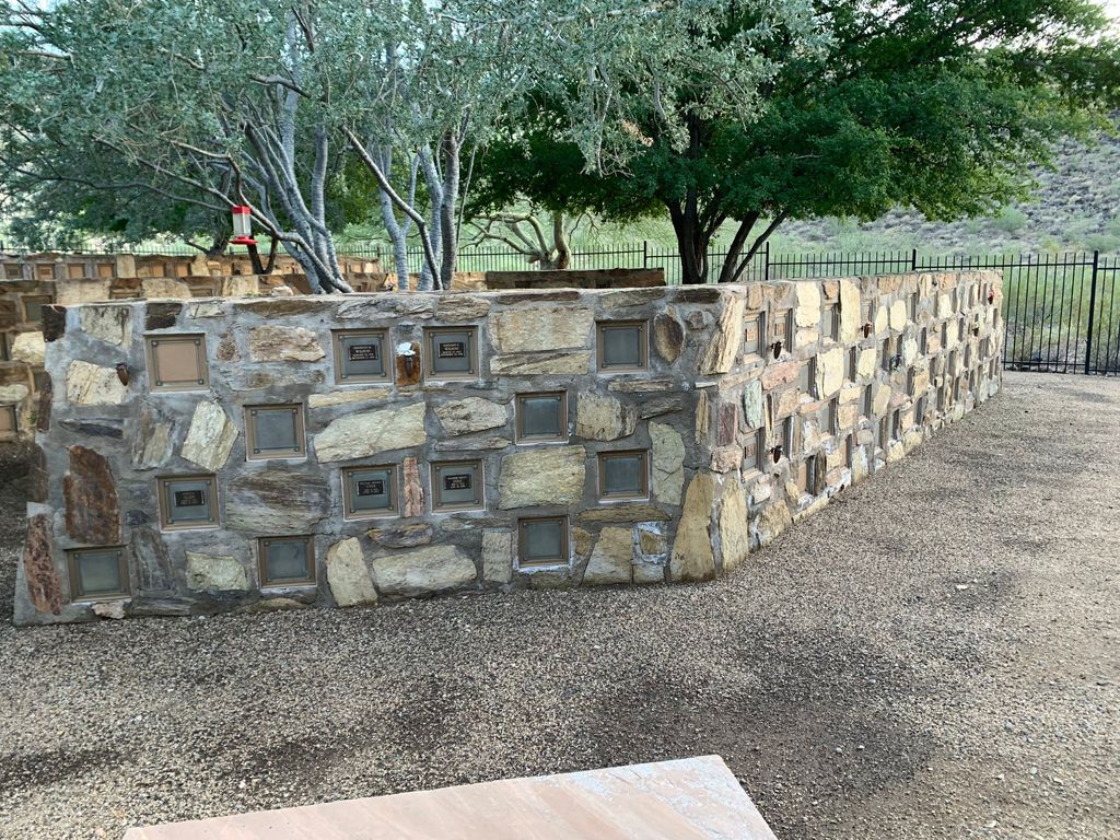
| Memorials | : | 1 |
| Location | : | Phoenix, Maricopa County, USA |
| Phone | : | 602-931-5900 |
| Coordinate | : | 33.6025000, -112.0832000 |
frequently asked questions (FAQ):
-
Where is Shadow Rock Congregational Church Cemetery?
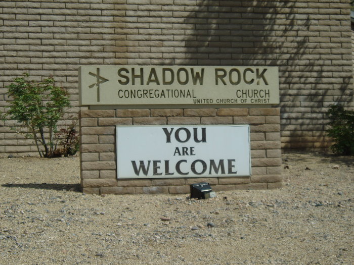
Shadow Rock Congregational Church Cemetery is located at 12861 N 8th Ave Phoenix, Maricopa County ,Arizona , 85029USA.
-
Shadow Rock Congregational Church Cemetery cemetery's updated grave count on graveviews.com?
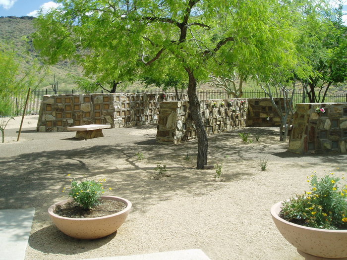
1 memorials
-
Where are the coordinates of the Shadow Rock Congregational Church Cemetery?
Latitude: 33.6025000
Longitude: -112.0832000
Nearby Cemetories:
1. Trinity Lutheran Church Columbarium
Phoenix, Maricopa County, USA
Coordinate: 33.5723530, -112.0829490
2. All Saints Lutheran Memorial Garden Columbarium
Phoenix, Maricopa County, USA
Coordinate: 33.6293150, -112.0637270
3. Shepherd of the Valley United Methodist Church
Phoenix, Maricopa County, USA
Coordinate: 33.5959600, -112.1250450
4. Saint Stephen's Catholic Church and Columbarium
Phoenix, Maricopa County, USA
Coordinate: 33.5563786, -112.0479130
5. Orangewood Presbyterian Church Memorial Gardens
Phoenix, Maricopa County, USA
Coordinate: 33.5442630, -112.0601860
6. Church of the Beatitudes Columbarium
Phoenix, Maricopa County, USA
Coordinate: 33.5380000, -112.0815000
7. Phoenix Memorial Park and Mortuary
Phoenix, Maricopa County, USA
Coordinate: 33.6697006, -112.0764008
8. Shepherd of the Valley Lutheran Church
Phoenix, Maricopa County, USA
Coordinate: 33.5315580, -112.0914890
9. Trinity United Methodist Church Memorial Garden
Phoenix, Maricopa County, USA
Coordinate: 33.5387480, -112.1261220
10. All Saints Episcopal Church Cemetery
Phoenix, Maricopa County, USA
Coordinate: 33.5297000, -112.0746000
11. Trinity Mennonite Church Columbarium
Glendale, Maricopa County, USA
Coordinate: 33.5468000, -112.1529000
12. First United Methodist Church Columbarium
Phoenix, Maricopa County, USA
Coordinate: 33.5167465, -112.0740433
13. Saint Marys Episcopal Church Cemetery
Phoenix, Maricopa County, USA
Coordinate: 33.5321080, -112.1431430
14. Faith Lutheran Church Columbarium
Phoenix, Maricopa County, USA
Coordinate: 33.5088420, -112.0640250
15. Rest haven Memorial Park
Glendale, Maricopa County, USA
Coordinate: 33.5541251, -112.1840380
16. Christ Church of the Ascension Memory Garden
Paradise Valley, Maricopa County, USA
Coordinate: 33.5310200, -111.9943900
17. Glendale Memorial Park
Glendale, Maricopa County, USA
Coordinate: 33.5518990, -112.1908035
18. Holy Redeemer Cemetery
Phoenix, Maricopa County, USA
Coordinate: 33.6958340, -112.0278350
19. Unitarian Universalist Congregation of Phoenix
Paradise Valley, Maricopa County, USA
Coordinate: 33.5313506, -111.9919749
20. West Resthaven Park Cemetery
Glendale, Maricopa County, USA
Coordinate: 33.5522003, -112.1931000
21. National Memorial Cemetery of Arizona
Phoenix, Maricopa County, USA
Coordinate: 33.6944008, -112.0189972
22. Paradise Valley Methodist Church Columbarium
Paradise Valley, Maricopa County, USA
Coordinate: 33.5302000, -111.9852000
23. Old Paths Cemetery
Peoria, Maricopa County, USA
Coordinate: 33.6124000, -112.2137000
24. Chaparral Christian Church Memorial Garden
Maricopa County, USA
Coordinate: 33.5809510, -111.9411110

