
| Memorials | : | 0 |
| Location | : | Pleasure Heights, Benton County, USA |
| Coordinate | : | 36.2374992, -94.0072021 |
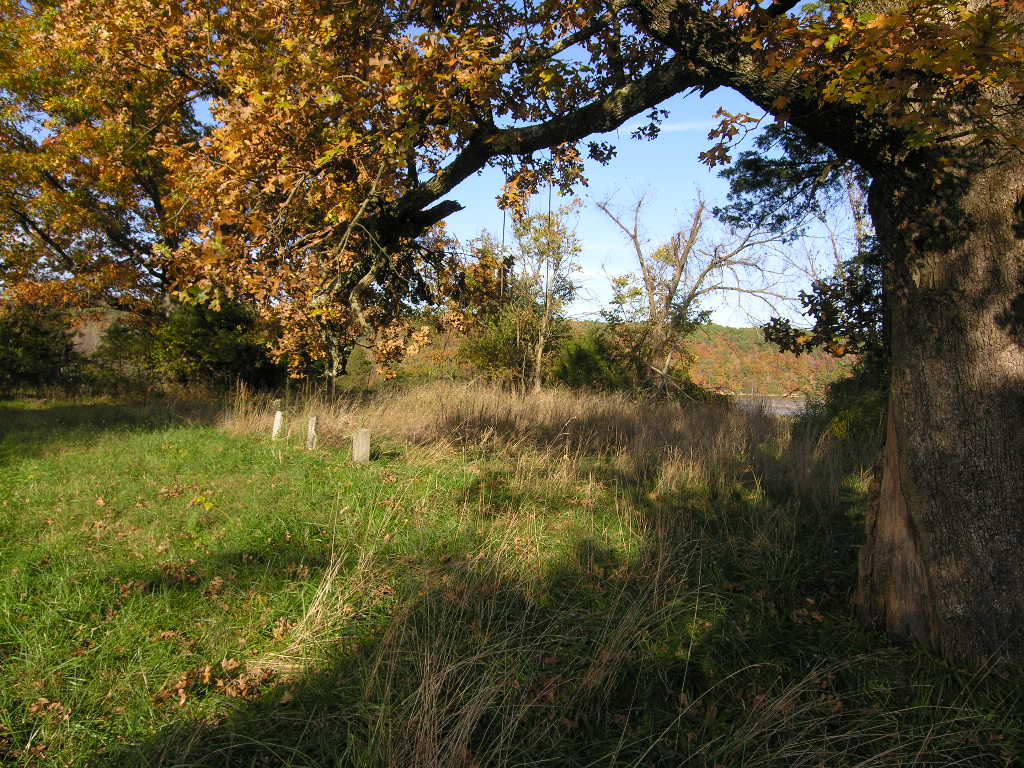
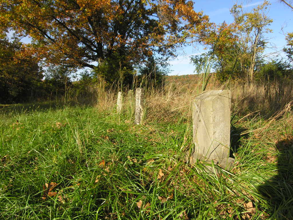
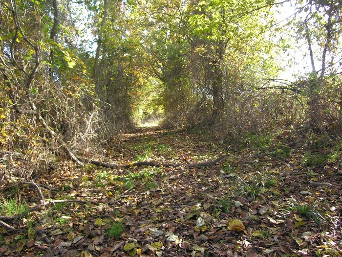
| Description | : | Located east of Springdale; take Hwy. 264 to Sonora; from Sonora follow Cowface road to Pleasure Heights Road. In Pleasure Heights, take dirt road that leads towards lake. It is not marked, but is known as Clardy Lane. The old Clardy farmhouse is the second of two two-story homes on the left. At the Clardy farmhouse, follow the fenceline that was once a road about 1/4 mile to where it deadends at Dibler cemetery. Dibler cemetery is enclosed by a good fence, but only 4 or 5 tombstones are still visible. |
frequently asked questions (FAQ):
-
Where is Dibler Cemetery?
Dibler Cemetery is located at Pleasure Heights, Benton County ,Arkansas ,USA.
-
Dibler Cemetery cemetery's updated grave count on graveviews.com?
0 memorials
-
Where are the coordinates of the Dibler Cemetery?
Latitude: 36.2374992
Longitude: -94.0072021
Nearby Cemetories:
1. Hickory Creek Cemetery
Creech, Benton County, USA
Coordinate: 36.2289009, -94.0338974
2. Butler Ford Cemetery
Hickory Creek, Benton County, USA
Coordinate: 36.2090200, -94.0220300
3. Stanley Cemetery (Defunct)
Benton County, USA
Coordinate: 36.2571983, -94.0447006
4. War Eagle Cemetery
Rogers, Benton County, USA
Coordinate: 36.2689018, -93.9522018
5. Key Cemetery (Defunct)
Benton County, USA
Coordinate: 36.2997017, -94.0192032
6. Johnson Cemetery
Washington County, USA
Coordinate: 36.1731550, -94.0149680
7. Frisco Springs Cemetery
Benton County, USA
Coordinate: 36.2714005, -94.0766983
8. William Hope Harvey Burial Site
Monte Ne, Benton County, USA
Coordinate: 36.2854347, -94.0669327
9. Wilson Cemetery
Lowell, Benton County, USA
Coordinate: 36.2108002, -94.0847015
10. Eden Bluff Cemetery
War Eagle, Benton County, USA
Coordinate: 36.2428460, -93.9217150
11. Phillips Cemetery
Lowell, Benton County, USA
Coordinate: 36.2380981, -94.0960999
12. Carrel Cemetery
Washington County, USA
Coordinate: 36.1638350, -94.0232190
13. Head Family Cemetery
Washington County, USA
Coordinate: 36.1604800, -94.0120720
14. Joyce Cemetery
Spring Valley, Washington County, USA
Coordinate: 36.1638985, -93.9785995
15. Sonora Cemetery
Sonora, Washington County, USA
Coordinate: 36.1652390, -94.0409630
16. McReynolds Cemetery (Defunct)
Benton County, USA
Coordinate: 36.3156013, -94.0139008
17. Austin Cemetery
Beacon Addition, Benton County, USA
Coordinate: 36.2379000, -93.9096000
18. Ingram Cemetery
Lowell, Benton County, USA
Coordinate: 36.2316055, -94.1059647
19. Burkshed Cemetery
Washington County, USA
Coordinate: 36.2156100, -93.9111300
20. Cloer-Harp Cemetery
Washington County, USA
Coordinate: 36.1537980, -94.0177970
21. Davis Cemetery
Washington County, USA
Coordinate: 36.1526690, -94.0085080
22. Farrell Family Cemetery
Washington County, USA
Coordinate: 36.1525170, -94.0224950
23. Ozark Cemetery
Benton County, USA
Coordinate: 36.3231010, -94.0252991
24. Spring Valley Cemetery
Spring Valley, Washington County, USA
Coordinate: 36.1741440, -93.9334660