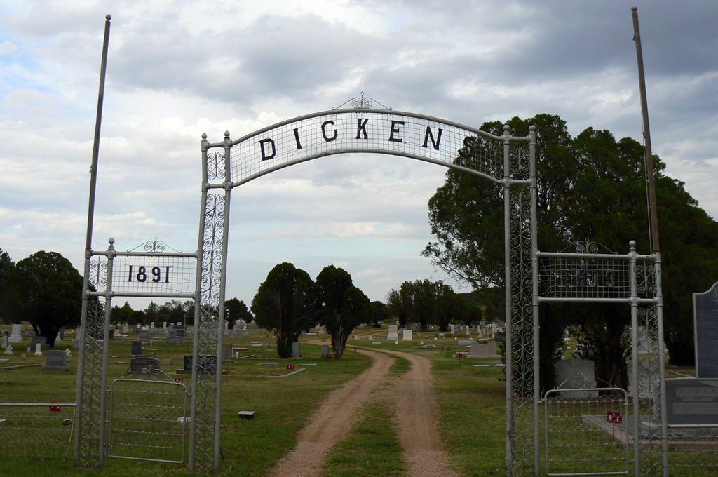
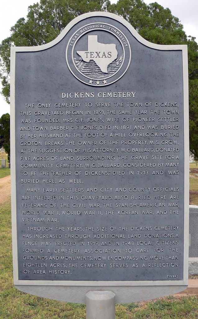
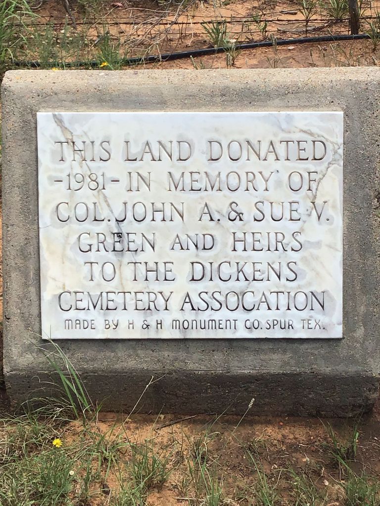
| Memorials | : | 7 |
| Location | : | Dickens, Dickens County, USA |
| Coordinate | : | 33.6236550, -100.8214260 |
frequently asked questions (FAQ):
-
Where is Dickens Cemetery?
Dickens Cemetery is located at Dickens, Dickens County ,Texas ,USA.
-
Dickens Cemetery cemetery's updated grave count on graveviews.com?
7 memorials
-
Where are the coordinates of the Dickens Cemetery?
Latitude: 33.6236550
Longitude: -100.8214260
Nearby Cemetories:
1. Espuela Cemetery
Dickens County, USA
Coordinate: 33.5750008, -100.8949966
2. Mayo Cemetery
Dickens, Dickens County, USA
Coordinate: 33.5970250, -100.7127960
3. Amity Cemetery
Dickens County, USA
Coordinate: 33.7193985, -100.8242035
4. Afton Cemetery
Afton, Dickens County, USA
Coordinate: 33.7658310, -100.8059050
5. Spur Cemetery
Spur, Dickens County, USA
Coordinate: 33.4774704, -100.8379898
6. McAdoo Cemetery
McAdoo, Dickens County, USA
Coordinate: 33.7252998, -101.0214005
7. Steele Hill Cemetery
Spur, Dickens County, USA
Coordinate: 33.4211390, -100.7882370
8. Red Mud Cemetery
Spur, Dickens County, USA
Coordinate: 33.4265120, -100.9987710
9. Mount Zion Cemetery
Crosby County, USA
Coordinate: 33.6533700, -101.1922100
10. Crosbyton Cemetery
Crosbyton, Crosby County, USA
Coordinate: 33.6577988, -101.2099991
11. Antelope Cemetery
Floyd County, USA
Coordinate: 33.8692017, -101.0980988
12. Dougherty Cemetery
Dougherty, Floyd County, USA
Coordinate: 33.9503070, -101.0851670
13. Rock House Cemetery
Mount Blanco, Crosby County, USA
Coordinate: 33.8016080, -101.2487020
14. Lakeview Cemetery
Floyd County, USA
Coordinate: 33.8741989, -101.2577972
15. Ralls Cemetery
Ralls, Crosby County, USA
Coordinate: 33.6732521, -101.4008408
16. Buck Creek Cemetery
Paducah, Cottle County, USA
Coordinate: 33.9322380, -100.3640400
17. Emma Cemetery
Crosby County, USA
Coordinate: 33.6114970, -101.4123950
18. Forest Lawn Cemetery
Floydada, Floyd County, USA
Coordinate: 33.9752600, -101.2729840
19. Cone Cemetery
Cone, Crosby County, USA
Coordinate: 33.7971992, -101.4216995
20. Shinnery Cemetery
Paducah, Cottle County, USA
Coordinate: 33.8483009, -100.2367020
21. Rushing Chapel Cemetery
Floyd County, USA
Coordinate: 34.0558014, -101.2202988
22. Cross H Ranch Cemetery
Post, Garza County, USA
Coordinate: 33.1996620, -101.2539300
23. Floyd County Memorial Park
Floydada, Floyd County, USA
Coordinate: 34.0031600, -101.3262000
24. Floydada Cemetery
Floydada, Floyd County, USA
Coordinate: 34.0058000, -101.3265300


