
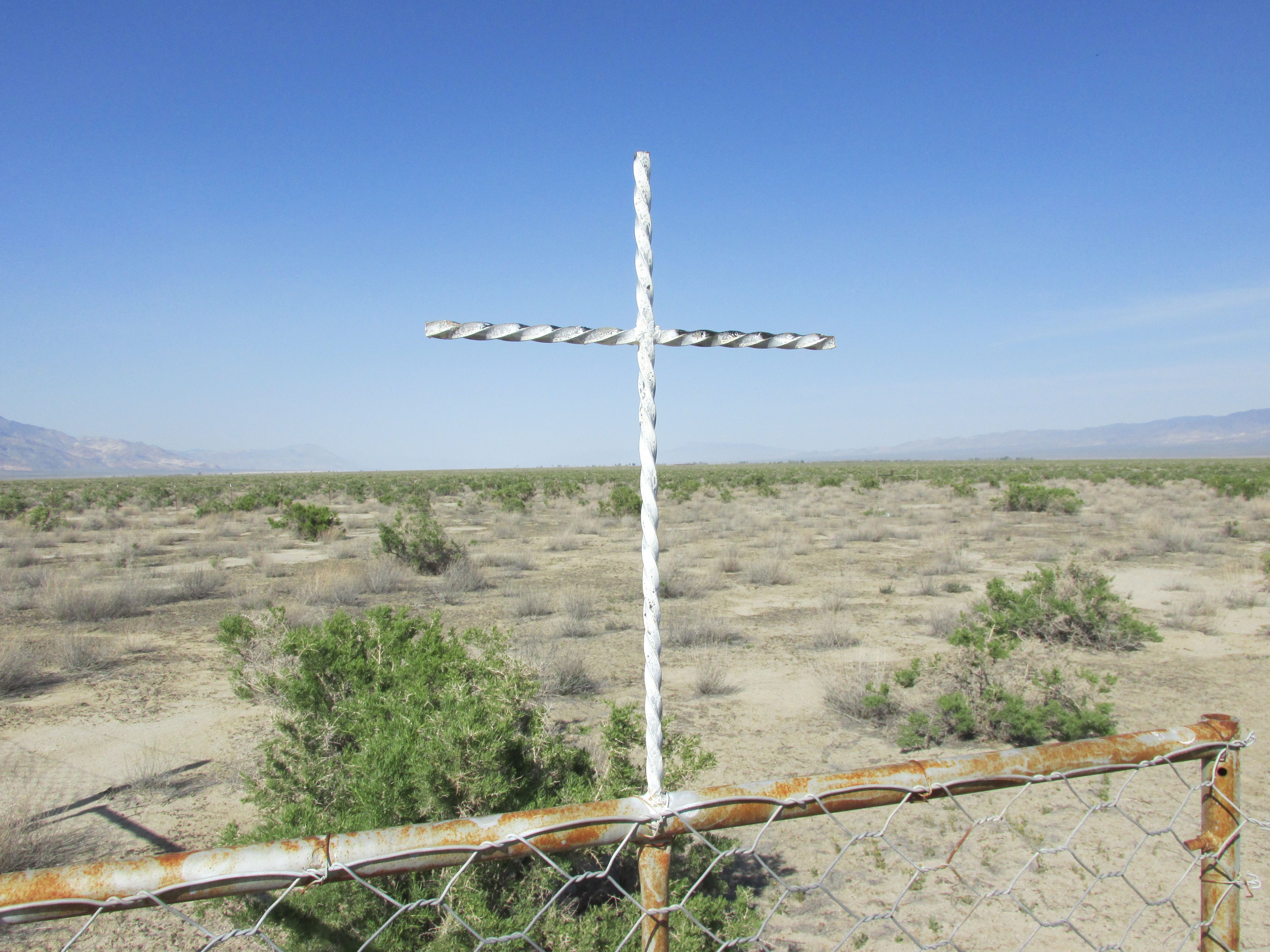
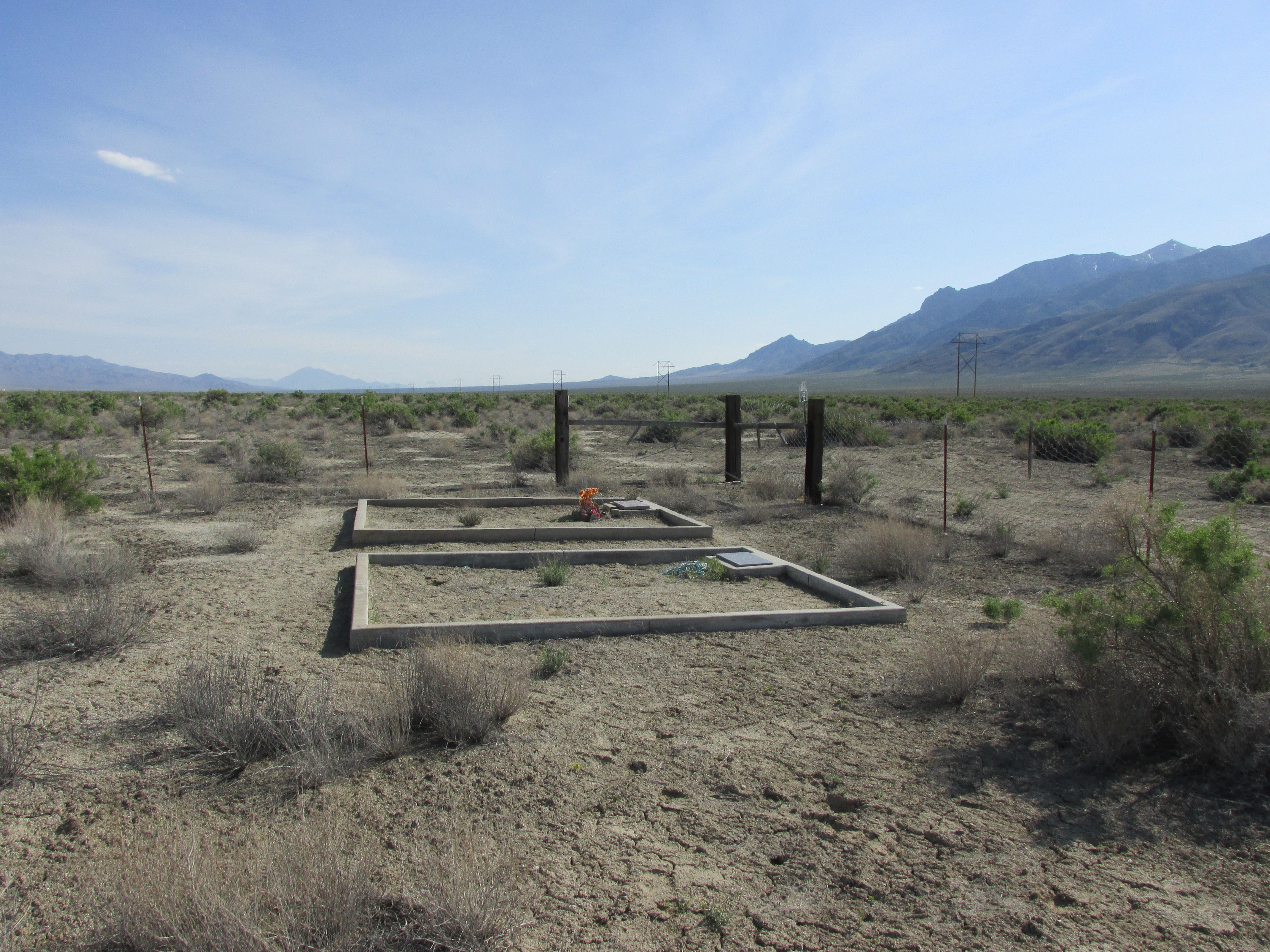
| Memorials | : | 2 |
| Location | : | Dixie Valley, Churchill County, USA |
| Coordinate | : | 39.6521090, -118.1466400 |
| Description | : | AKA "Ranchers' Rest Cemetery" |
frequently asked questions (FAQ):
-
Where is Dixie Valley Cemetery?
Dixie Valley Cemetery is located at Dixie Valley Road (Nevada 121) Dixie Valley, Churchill County ,Nevada , 89406USA.
-
Dixie Valley Cemetery cemetery's updated grave count on graveviews.com?
2 memorials
-
Where are the coordinates of the Dixie Valley Cemetery?
Latitude: 39.6521090
Longitude: -118.1466400
Nearby Cemetories:
1. Wonder Cemetery
Middlegate, Churchill County, USA
Coordinate: 39.4247600, -118.0580900
2. Lawrence Ranch Cemetery
Stillwater, Churchill County, USA
Coordinate: 39.5272310, -118.5558870
3. Fairview Cemetery
Frenchman, Churchill County, USA
Coordinate: 39.2719002, -118.1875000
4. Stillwater Indian Cemetery
Stillwater, Churchill County, USA
Coordinate: 39.5210300, -118.6192300
5. Turner Grave Site
Churchill County, USA
Coordinate: 39.2915479, -118.4477394
6. Alexander Brown Gravesite
Pershing County, USA
Coordinate: 40.0578400, -117.9150900
7. Indian Cemetery
Lovelock, Pershing County, USA
Coordinate: 40.0836983, -118.3206024
8. Gardens Cemetery
Fallon, Churchill County, USA
Coordinate: 39.4751000, -118.7234000
9. Churchill County Cemetery
Fallon, Churchill County, USA
Coordinate: 39.4812900, -118.7518500
10. Wrightman Ranch Cemetery
Fallon, Churchill County, USA
Coordinate: 39.2026000, -118.4540000
11. Holy Trinity Episcopal Church Columbarium
Fallon, Churchill County, USA
Coordinate: 39.4701760, -118.7755950
12. Saint Clair Cemetery
Fallon, Churchill County, USA
Coordinate: 39.4150009, -118.7782974
13. Allen Road Cemetery
Fallon, Churchill County, USA
Coordinate: 39.4275000, -118.8000000
14. Big Meadow Cemetery
Lovelock, Pershing County, USA
Coordinate: 40.1363983, -118.5056000
15. Rosewood Drive Cemetery
Fallon, Churchill County, USA
Coordinate: 39.4731400, -118.8431100
16. Broken Hills Grave
Mina, Mineral County, USA
Coordinate: 39.0542500, -118.0211400
17. Mount Airy Gravesite
Mount Airy, Lander County, USA
Coordinate: 39.5041400, -117.3793700
18. Lone Mountain Cemetery
Lovelock, Pershing County, USA
Coordinate: 40.1932983, -118.5171967
19. Unionville Cemetery
Unionville, Pershing County, USA
Coordinate: 40.2705000, -118.0629000
20. Farr Ranch Cemetery
Battle Mountain, Lander County, USA
Coordinate: 39.9538610, -117.4256080
21. Rawhide Cemetery
Mineral County, USA
Coordinate: 39.0424995, -118.4019012
22. Spence Gravesite
Oreana, Pershing County, USA
Coordinate: 40.3100220, -118.3790120
23. Hazen Cemetery
Hazen, Churchill County, USA
Coordinate: 39.5678610, -119.0524410
24. Ellsworth Mining Camp Cemetery
Nye County, USA
Coordinate: 38.9728500, -117.7571500