| Memorials | : | 0 |
| Location | : | Yosts, Montgomery County, USA |
| Coordinate | : | 42.9007600, -74.4718300 |
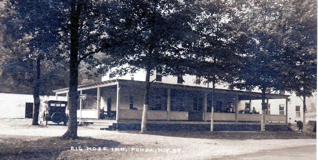
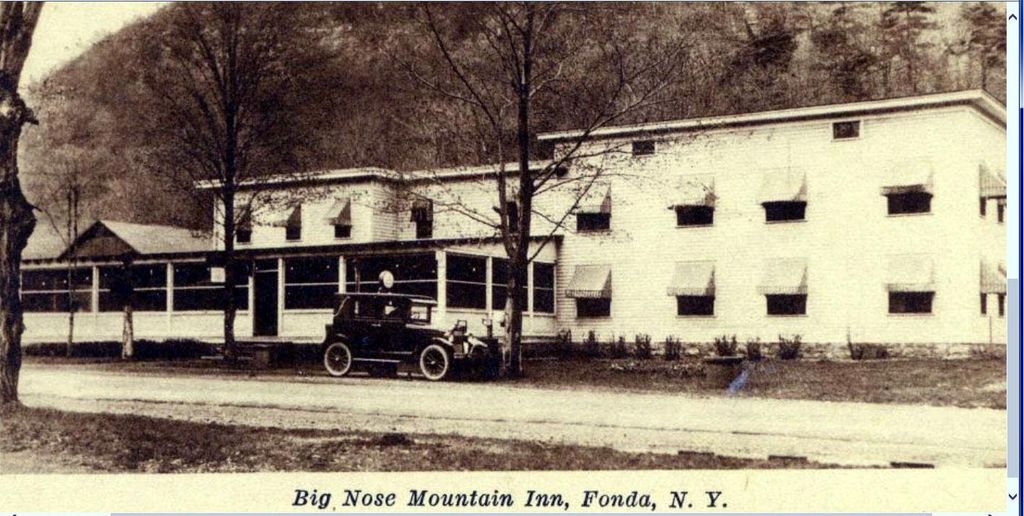
| Description | : | Source: St Johnsville NY Enterprise 11/14/1934 "New Series Prepared By Mrs W T VanDusen (DAR member) Through the kindness of Mrs W T VanDusen of Fonda, county Historian, we are permitted to publish a series of cemetery inscriptions from several towns in Montgomery county. The painstaking efforts of the writer we are sure will be appreciated by our readers. The various cemeteries will be published in installments and may we suggest our readers get the scissors and paste because these names should be recorded as widely as possible. Graveyard Back of Big Nose Inn Near Yosts at the foot of... Read More |
frequently asked questions (FAQ):
-
Where is Dockstader Family Plot?
Dockstader Family Plot is located at New York 5 Yosts, Montgomery County ,New York , 12068USA.
-
Dockstader Family Plot cemetery's updated grave count on graveviews.com?
0 memorials
-
Where are the coordinates of the Dockstader Family Plot?
Latitude: 42.9007600
Longitude: -74.4718300
Nearby Cemetories:
1. Yates Family Burial Ground
Randall, Montgomery County, USA
Coordinate: 42.9050481, -74.4515560
2. Montgomery County Home Cemetery
Palatine, Montgomery County, USA
Coordinate: 42.8987600, -74.4979900
3. Lathers Family Cemetery
Randall, Montgomery County, USA
Coordinate: 42.8848700, -74.4419100
4. Spraker Hill Cemetery
Sprakers, Montgomery County, USA
Coordinate: 42.8893900, -74.5090200
5. Dockstader Hickory Hill Homestead Burial Site
Mohawk, Montgomery County, USA
Coordinate: 42.9258610, -74.4389110
6. Currytown Reformed Church Cemetery
Currytown, Montgomery County, USA
Coordinate: 42.8597900, -74.4692200
7. Dievendorf Family Burial Grounds
Currytown, Montgomery County, USA
Coordinate: 42.8579700, -74.4622300
8. Dievendorf Burial Lot
Root Center, Montgomery County, USA
Coordinate: 42.8573100, -74.4680100
9. Antis Family Burial Ground
Currytown, Montgomery County, USA
Coordinate: 42.8579880, -74.4602470
10. Old Nestell Cemetery
East Stone Arabia, Montgomery County, USA
Coordinate: 42.9425011, -74.4935989
11. Dillenback Farm Cemetery
Palatine, Montgomery County, USA
Coordinate: 42.9373230, -74.5089340
12. Flanders and Lasher Cemetery
Flat Creek, Montgomery County, USA
Coordinate: 42.8625150, -74.5077540
13. Dillenbeck Cemetery
Palatine, Montgomery County, USA
Coordinate: 42.9340090, -74.5201710
14. Nestle-Lathers-Dillenbeck Cemetery
Palatine Bridge, Montgomery County, USA
Coordinate: 42.9340340, -74.5201870
15. Olmstead Cemetery
Montgomery County, USA
Coordinate: 42.8584800, -74.5098800
16. Flanders Cemetery
Montgomery County, USA
Coordinate: 42.8664017, -74.5231018
17. Printup Burial Ground
Stone Ridge, Montgomery County, USA
Coordinate: 42.9305500, -74.4136700
18. Gove Cemetery
Rural Grove, Montgomery County, USA
Coordinate: 42.8486000, -74.4402400
19. Dillenback Homestead Cemetery
Stone Arabia, Montgomery County, USA
Coordinate: 42.9284080, -74.5400350
20. Rural Grove Cemetery
Rural Grove, Montgomery County, USA
Coordinate: 42.8479210, -74.4369770
21. Sitterly Cemetery
Montgomery County, USA
Coordinate: 42.9425011, -74.5289001
22. Schenck Martin Farm Graveyard
Fonda, Montgomery County, USA
Coordinate: 42.9429330, -74.4074330
23. England-Getman Cemetery
Palatine, Montgomery County, USA
Coordinate: 42.9630100, -74.4898500
24. Darrow Road Burial Ground
Root Center, Montgomery County, USA
Coordinate: 42.8351900, -74.4723000


