| Memorials | : | 0 |
| Location | : | Mohawk, Montgomery County, USA |
| Coordinate | : | 42.9258610, -74.4389110 |
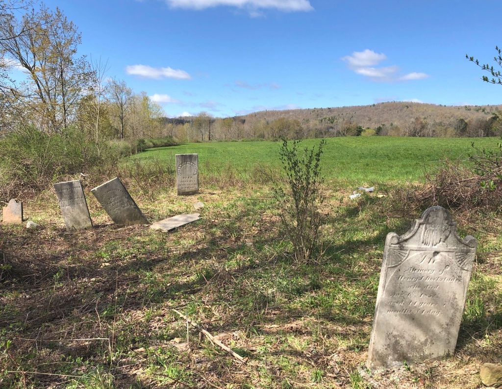
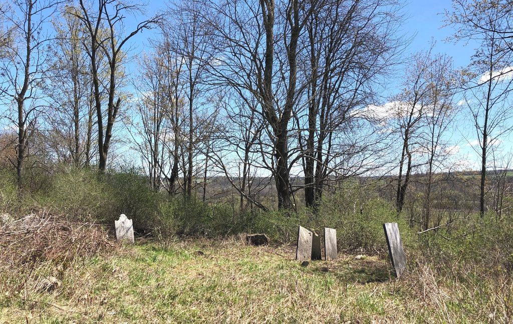
| Description | : | Source: St Johnsville NY Enterprise 11/14/1934 "New Series Prepared By Mrs W T VanDusen (DAR member) Through the kindness of Mrs W T VanDusen of Fonda, county Historian, we are permitted to publish a series of cemetery inscriptions from several towns in Montgomery county. The painstaking efforts of the writer we are sure will be appreciated by our readers. The various cemeteries will be published in installments and may we suggest our readers get the scissors and paste because these names should be recorded as widely as possible. Graveyard on Carl Olsen Farm On Left Side of Route 5 Coming east (on... Read More |
frequently asked questions (FAQ):
-
Where is Dockstader Hickory Hill Homestead Burial Site?
Dockstader Hickory Hill Homestead Burial Site is located at New York 5 Mohawk, Montgomery County ,New York , 12068USA.
-
Dockstader Hickory Hill Homestead Burial Site cemetery's updated grave count on graveviews.com?
0 memorials
-
Where are the coordinates of the Dockstader Hickory Hill Homestead Burial Site?
Latitude: 42.9258610
Longitude: -74.4389110
Nearby Cemetories:
1. Printup Burial Ground
Stone Ridge, Montgomery County, USA
Coordinate: 42.9305500, -74.4136700
2. Yates Family Burial Ground
Randall, Montgomery County, USA
Coordinate: 42.9050481, -74.4515560
3. Schenck Martin Farm Graveyard
Fonda, Montgomery County, USA
Coordinate: 42.9429330, -74.4074330
4. Dockstader Family Plot
Yosts, Montgomery County, USA
Coordinate: 42.9007600, -74.4718300
5. Evergreen Cemetery
Fonda, Montgomery County, USA
Coordinate: 42.9552994, -74.4131012
6. Lathers Family Cemetery
Randall, Montgomery County, USA
Coordinate: 42.8848700, -74.4419100
7. Old Nestell Cemetery
East Stone Arabia, Montgomery County, USA
Coordinate: 42.9425011, -74.4935989
8. Caughnawaga Castle Site
Montgomery County, USA
Coordinate: 42.9542910, -74.3928310
9. Montgomery County Home Cemetery
Palatine, Montgomery County, USA
Coordinate: 42.8987600, -74.4979900
10. Fultonville Cemetery and Natural Burial Ground
Fultonville, Montgomery County, USA
Coordinate: 42.9450188, -74.3735657
11. Dillenback Farm Cemetery
Palatine, Montgomery County, USA
Coordinate: 42.9373230, -74.5089340
12. Van Epps-Starin Cemetery
Fultonville, Montgomery County, USA
Coordinate: 42.9427780, -74.3709450
13. England-Getman Cemetery
Palatine, Montgomery County, USA
Coordinate: 42.9630100, -74.4898500
14. Saint Cecilia Cemetery
Fonda, Montgomery County, USA
Coordinate: 42.9619600, -74.3836900
15. Hall Family Cemetery
Glen, Montgomery County, USA
Coordinate: 42.8837870, -74.3824730
16. Wemple Cemetery
Montgomery County, USA
Coordinate: 42.9729729, -74.3899765
17. Dillenbeck Cemetery
Palatine, Montgomery County, USA
Coordinate: 42.9340090, -74.5201710
18. Nestle-Lathers-Dillenbeck Cemetery
Palatine Bridge, Montgomery County, USA
Coordinate: 42.9340340, -74.5201870
19. Caughnawaga Cemetery
Fonda, Montgomery County, USA
Coordinate: 42.9571991, -74.3681030
20. Maple Avenue Cemetery
Fultonville, Montgomery County, USA
Coordinate: 42.9385695, -74.3570231
21. Sammons Cemetery
Mohawk, Montgomery County, USA
Coordinate: 42.9766300, -74.3913900
22. Spraker Hill Cemetery
Sprakers, Montgomery County, USA
Coordinate: 42.8893900, -74.5090200
23. Dillenback Cemetery
Montgomery County, USA
Coordinate: 42.9589005, -74.5175018
24. Van Deusen and Lansing Family Burial Ground
Fonda, Montgomery County, USA
Coordinate: 42.9726600, -74.3716800


