
| Memorials | : | 0 |
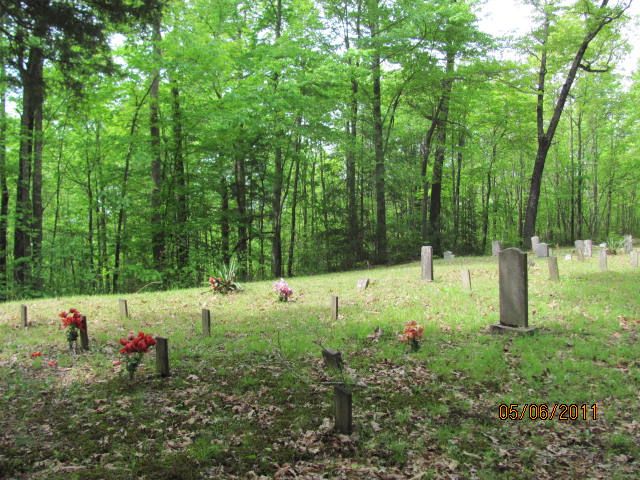
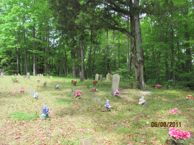
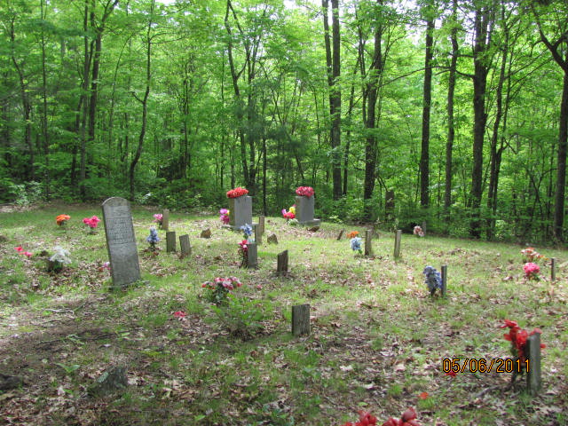
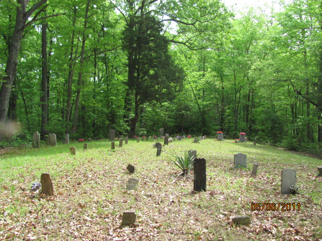
| Location | : | Pine Knot, McCreary County, USA |
| Coordinate | : | 36.6134920, -84.5572670 |
| Description | : | Directions: The bestway to the cemetery is through Onieda Tenn,Go NNw on th Big Ridge Road,to Fosters' Crossroads.The distance from Us 27 to Fosters Crossroads is about 7 miles.At Fosters Crossroads take the road to the Right,and continue 1.9 mile on Forest Service Road #709,to a trail that turns Left from the Forest Service Road.The road deadends at the cemetery. |
frequently asked questions (FAQ):
-
Where is Dolen Musgrove Cemetery?
Dolen Musgrove Cemetery is located at Pine Knot, McCreary County ,Kentucky ,USA.
-
Dolen Musgrove Cemetery cemetery's updated grave count on graveviews.com?
0 memorials
-
Where are the coordinates of the Dolen Musgrove Cemetery?
Latitude: 36.6134920
Longitude: -84.5572670
Nearby Cemetories:
1. Bear Creek Overlook
McCreary County, USA
Coordinate: 36.6268477, -84.5329030
2. King Cemetery
McCreary County, USA
Coordinate: 36.6407200, -84.5605200
3. Foster Crossroad Baptist Church Cemetery
Foster Crossroads, Scott County, USA
Coordinate: 36.5860100, -84.5597100
4. Davey Boyatt Cemetery
Foster Crossroads, Scott County, USA
Coordinate: 36.5824585, -84.5765686
5. Barr Cemetery
Barthell, McCreary County, USA
Coordinate: 36.6537270, -84.5618930
6. Jacob Troxel Cemetery
McCreary County, USA
Coordinate: 36.6343994, -84.5077972
7. Otter Creek Cemetery
McCreary County, USA
Coordinate: 36.6358490, -84.5081024
8. Kidd Cemetery
McCreary County, USA
Coordinate: 36.6467880, -84.6101540
9. Stevens-Foster Cemetery
Barthell, McCreary County, USA
Coordinate: 36.6639560, -84.5104000
10. Ross Grove Cemetery
McCreary County, USA
Coordinate: 36.6545143, -84.4968491
11. Grave Hill Cemetery
Helenwood, Scott County, USA
Coordinate: 36.5456009, -84.5552979
12. Nancy Grave Cemetery
McCreary County, USA
Coordinate: 36.6822014, -84.5535965
13. Smith Cemetery
McCreary County, USA
Coordinate: 36.6513820, -84.4703630
14. Josh Wilson Cemetery
McCreary County, USA
Coordinate: 36.6265678, -84.4596939
15. Burl King Cemetery
Pine Knot, McCreary County, USA
Coordinate: 36.6447200, -84.4595800
16. Lower Hickory Grove Cemetery
McCreary County, USA
Coordinate: 36.6762848, -84.4868317
17. Nancey Jane Burk Gravesite
Barthell, McCreary County, USA
Coordinate: 36.6038890, -84.6633330
18. Lindsey Kidd Cemetery
Barthell, McCreary County, USA
Coordinate: 36.6136190, -84.6649300
19. Hill Cemetery
McCreary County, USA
Coordinate: 36.6596985, -84.6592026
20. Ike Kidd
McCreary County, USA
Coordinate: 36.6074030, -84.6789880
21. Anderson Cemetery
Pine Knot, McCreary County, USA
Coordinate: 36.6186110, -84.4352780
22. Lexton Road Cemetery
McCreary County, USA
Coordinate: 36.6338500, -84.6769500
23. Phillips Cemetery
McCreary County, USA
Coordinate: 36.6998100, -84.6165300
24. Alexander Cemetery
Pine Knot, McCreary County, USA
Coordinate: 36.6461110, -84.4405560