
| Memorials | : | 0 |
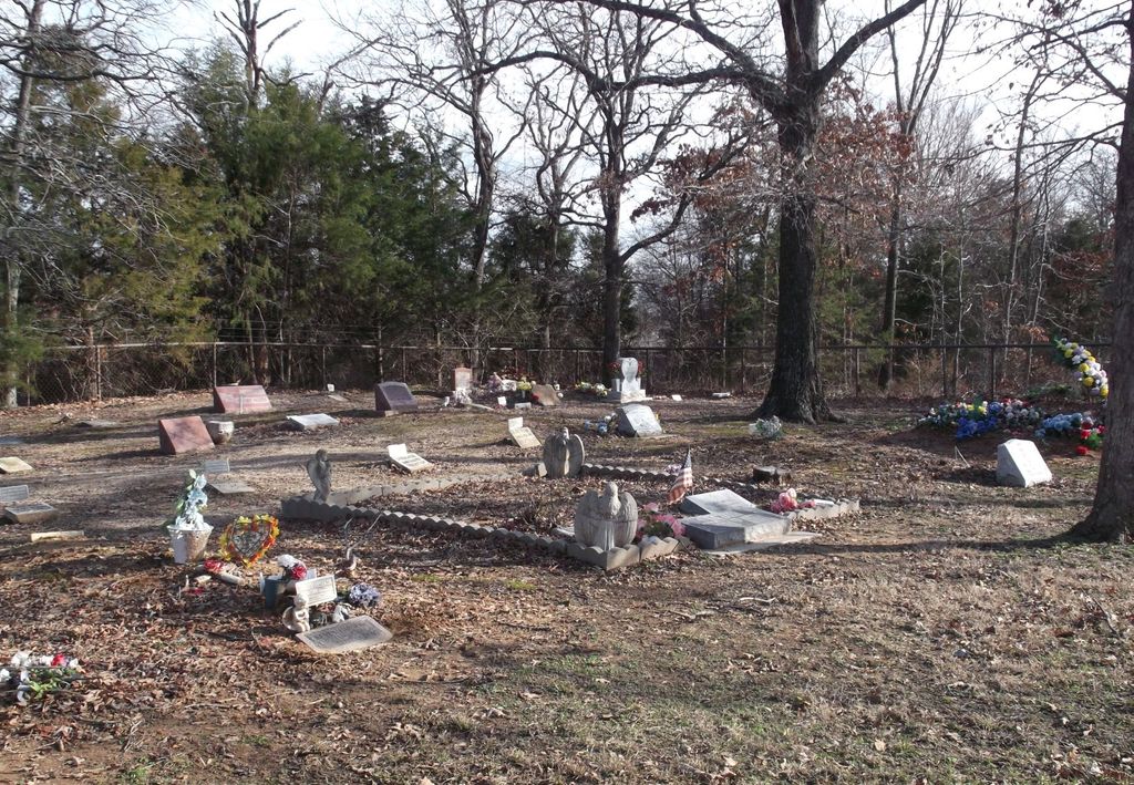
| Location | : | Lane, Atoka County, USA |
| Coordinate | : | 34.3050000, -95.9916667 |
| Description | : | From the stop light at the corner of Court Street and North Mississippi Avenue, go 9.4 miles east and turn left on the blacktop street in Lane. Continue along this street a short distance until you reach the Double Springs Indian Church on the left side of the street. Follow the lane on your right as you face the church. At the end of the lane is the burial site which is still being used. |
frequently asked questions (FAQ):
-
Where is Double Springs Cemetery?
Double Springs Cemetery is located at Lane, Atoka County ,Oklahoma ,USA.
-
Double Springs Cemetery cemetery's updated grave count on graveviews.com?
0 memorials
-
Where are the coordinates of the Double Springs Cemetery?
Latitude: 34.3050000
Longitude: -95.9916667
Nearby Cemetories:
1. Butler Cemetery
Farris, Atoka County, USA
Coordinate: 34.2807999, -95.9527969
2. Buffalo Community Cemetery
Atoka, Atoka County, USA
Coordinate: 34.3313800, -96.0561110
3. Bera Cemetery
Atoka, Atoka County, USA
Coordinate: 34.3142320, -96.0754340
4. New Zion Cemetery
Tushka, Atoka County, USA
Coordinate: 34.3166330, -96.1140910
5. Crystal Cemetery
Atoka County, USA
Coordinate: 34.2085991, -95.9458008
6. Old Catholic Cemetery
Bentley, Atoka County, USA
Coordinate: 34.2147752, -96.0534154
7. Bethany Cemetery
Atoka, Atoka County, USA
Coordinate: 34.2872009, -96.1160965
8. Farris Cemetery
Farris, Atoka County, USA
Coordinate: 34.2437930, -95.8824870
9. East Allison Cemetery
Bentley, Atoka County, USA
Coordinate: 34.2132415, -96.0674080
10. Cane Hill Cemetery
Bentley, Atoka County, USA
Coordinate: 34.2186800, -96.0841100
11. Bentley Cemetery
Bentley, Atoka County, USA
Coordinate: 34.2150850, -96.0791590
12. Bentley Indian Cemetery
Bentley, Atoka County, USA
Coordinate: 34.2150850, -96.0791590
13. Green Hill Cemetery
Atoka, Atoka County, USA
Coordinate: 34.3817800, -96.1191150
14. B Street Cemetery
Atoka, Atoka County, USA
Coordinate: 34.3853615, -96.1194889
15. B Street Catholic Churchyard
Atoka, Atoka County, USA
Coordinate: 34.3863090, -96.1211550
16. Confederate Cemetery
Atoka, Atoka County, USA
Coordinate: 34.3983002, -96.1164017
17. Westview Cemetery
Atoka, Atoka County, USA
Coordinate: 34.3838420, -96.1331060
18. Tushka Cemetery
Tushka, Atoka County, USA
Coordinate: 34.3238983, -96.1707993
19. Mount Olive Church Cemetery
Atoka County, USA
Coordinate: 34.4591130, -96.0084110
20. High Hill Cemetery
Atoka County, USA
Coordinate: 34.2738991, -96.1785965
21. Green Meadows Cemetery
Atoka, Atoka County, USA
Coordinate: 34.3983700, -96.1455630
22. Stringtown Unnamed Cemetery
Stringtown, Atoka County, USA
Coordinate: 34.4651690, -96.0509350
23. Stringtown Cemetery
Stringtown, Atoka County, USA
Coordinate: 34.4639015, -96.0625000
24. Belvin Cemetery
Boswell, Choctaw County, USA
Coordinate: 34.1540500, -95.8959400