
| Memorials | : | 0 |
| Location | : | Atoka, Atoka County, USA |
| Coordinate | : | 34.3863090, -96.1211550 |
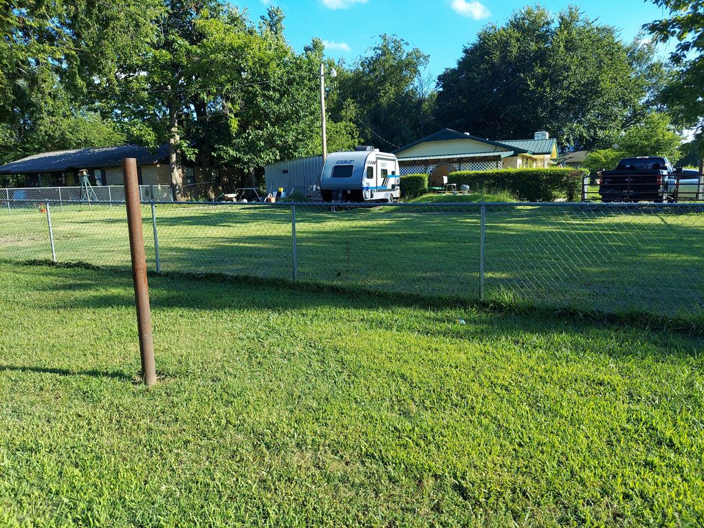
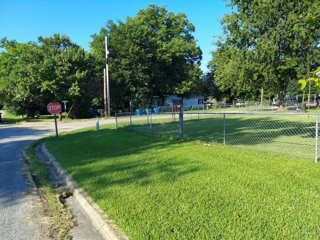
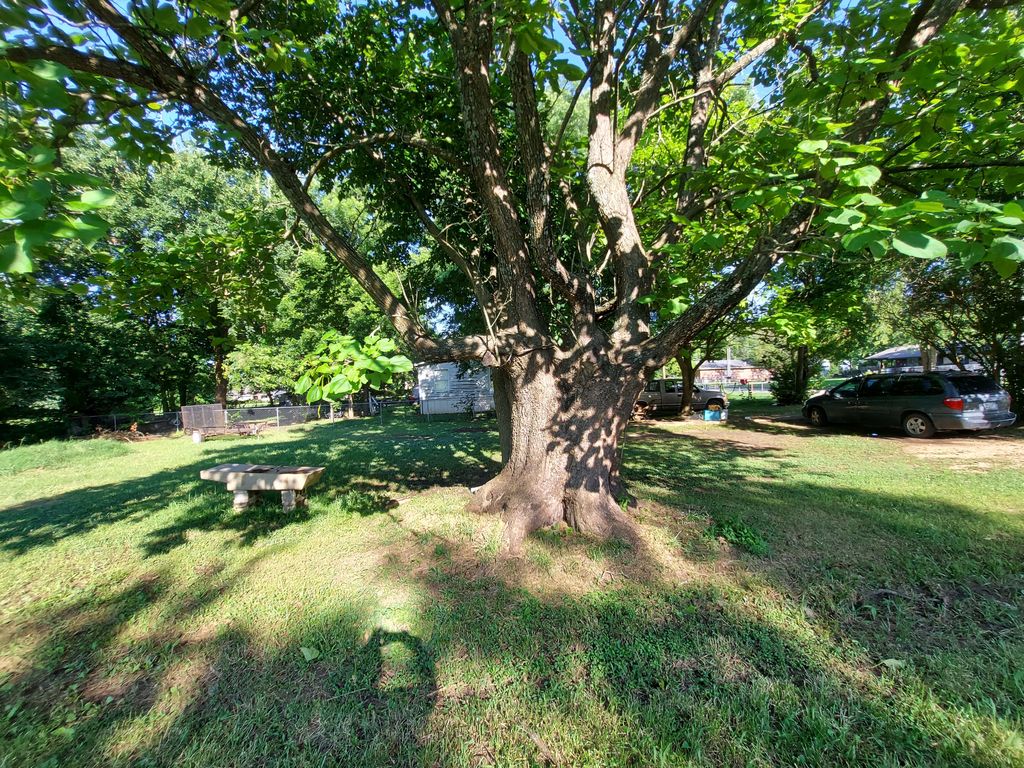
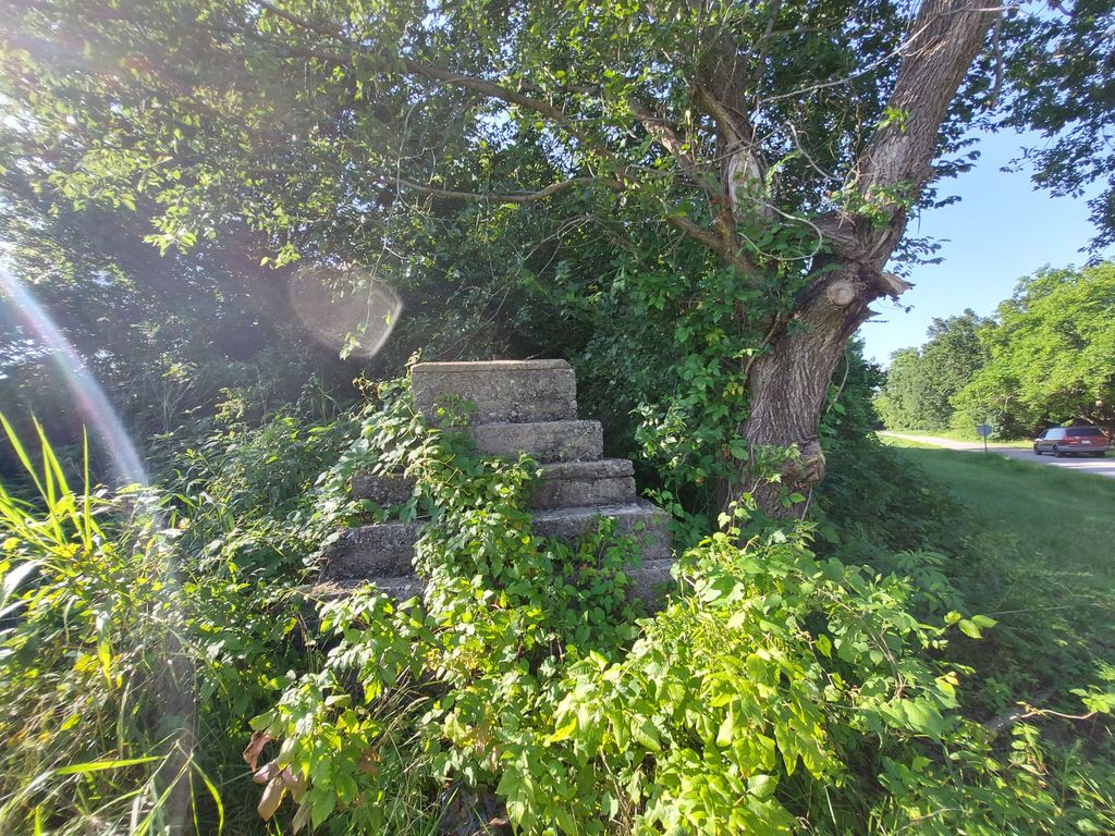
| Description | : | Historic Catholic Churchyard at corner of Indiana and B Street east of the railroad tracks. (now replaced with residential houses), built on lands donated by John A. Dillon. "Atoka Church Marks 100th Year - The Catholic Church has a colorful history in the Atoka area. St. Patrick's, Atoka, Indian Territory, was the first Catholic Church built in Indian and Oklahoma Territories. The small, wooden-frame, single story building was erected in 1872 east of the Missouri, Kansas and Texas (MKT) railroad tracks. In present-day Atoka, the structure was bounded on the north by B Street and on the west by Indiana... Read More |
frequently asked questions (FAQ):
-
Where is B Street Catholic Churchyard?
B Street Catholic Churchyard is located at Indiana Street and B Street Atoka, Atoka County ,Oklahoma , 74525USA.
-
B Street Catholic Churchyard cemetery's updated grave count on graveviews.com?
0 memorials
-
Where are the coordinates of the B Street Catholic Churchyard?
Latitude: 34.3863090
Longitude: -96.1211550
Nearby Cemetories:
1. B Street Cemetery
Atoka, Atoka County, USA
Coordinate: 34.3853615, -96.1194889
2. Green Hill Cemetery
Atoka, Atoka County, USA
Coordinate: 34.3817800, -96.1191150
3. Westview Cemetery
Atoka, Atoka County, USA
Coordinate: 34.3838420, -96.1331060
4. Confederate Cemetery
Atoka, Atoka County, USA
Coordinate: 34.3983002, -96.1164017
5. Green Meadows Cemetery
Atoka, Atoka County, USA
Coordinate: 34.3983700, -96.1455630
6. Macedonia Cemetery
Atoka, Atoka County, USA
Coordinate: 34.4350000, -96.1447300
7. New Zion Cemetery
Tushka, Atoka County, USA
Coordinate: 34.3166330, -96.1140910
8. Coal Creek Cemetery
Atoka, Atoka County, USA
Coordinate: 34.4563889, -96.1286111
9. Tushka Cemetery
Tushka, Atoka County, USA
Coordinate: 34.3238983, -96.1707993
10. Plainview Cemetery
Atoka County, USA
Coordinate: 34.3717003, -96.2118988
11. Buffalo Community Cemetery
Atoka, Atoka County, USA
Coordinate: 34.3313800, -96.0561110
12. Bera Cemetery
Atoka, Atoka County, USA
Coordinate: 34.3142320, -96.0754340
13. Midway Cemetery
Lehigh, Coal County, USA
Coordinate: 34.4402800, -96.2081200
14. Stringtown Cemetery
Stringtown, Atoka County, USA
Coordinate: 34.4639015, -96.0625000
15. Wells Street Cemetery
Atoka County, USA
Coordinate: 34.4668007, -96.0606003
16. Old Lehigh Cemetery
Lehigh, Coal County, USA
Coordinate: 34.4435997, -96.2164001
17. Stringtown Unnamed Cemetery
Stringtown, Atoka County, USA
Coordinate: 34.4651690, -96.0509350
18. Bethany Cemetery
Atoka, Atoka County, USA
Coordinate: 34.2872009, -96.1160965
19. Wards Chapel Cemetery
Atoka, Atoka County, USA
Coordinate: 34.3675003, -96.2497025
20. Boggy Bend Cemetery
Stringtown, Atoka County, USA
Coordinate: 34.4955556, -96.0775000
21. Mount Olive Church Cemetery
Atoka County, USA
Coordinate: 34.4591130, -96.0084110
22. Valley View Cemetery
Atoka County, USA
Coordinate: 34.4068985, -96.2632980
23. High Hill Cemetery
Atoka County, USA
Coordinate: 34.2738991, -96.1785965
24. Lehigh Cemetery
Lehigh, Coal County, USA
Coordinate: 34.4775900, -96.2319400