| Memorials | : | 0 |
| Location | : | Anson County, USA |
| Coordinate | : | 35.1270940, -80.2120430 |
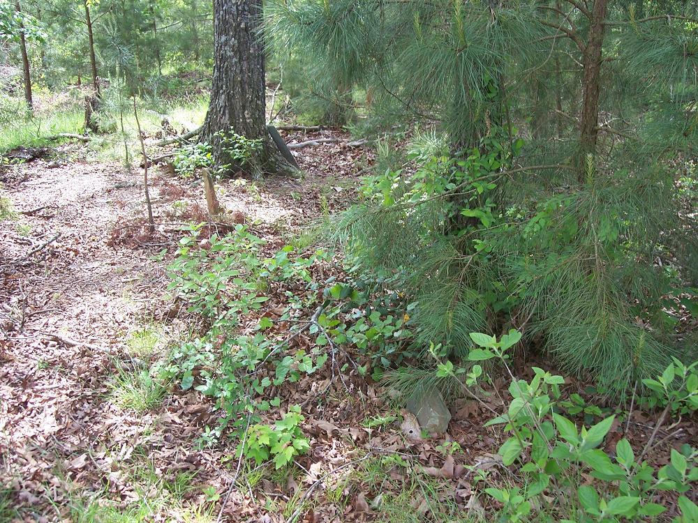
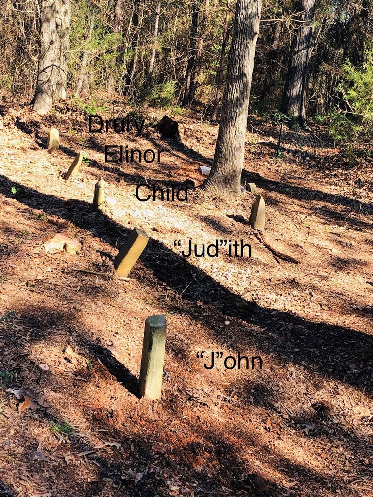
| Description | : | Cemetery is on Cribbs Creek Road, Burnsville, North Carolina. The cemetery is on the Robert Allen Plantation. |
frequently asked questions (FAQ):
-
Where is Drury Allen Cemetery?
Drury Allen Cemetery is located at Anson County ,North Carolina ,USA.
-
Drury Allen Cemetery cemetery's updated grave count on graveviews.com?
0 memorials
-
Where are the coordinates of the Drury Allen Cemetery?
Latitude: 35.1270940
Longitude: -80.2120430
Nearby Cemetories:
1. Rocky River Baptist Church Cemetery
Polkton, Anson County, USA
Coordinate: 35.1323540, -80.2019530
2. Poplar Springs Missionary Baptist Church Cemetery
Polkton, Anson County, USA
Coordinate: 35.1361198, -80.2205353
3. High-Allen Cemetery
Burnsville, Anson County, USA
Coordinate: 35.1325500, -80.1941000
4. Wightman United Methodist Church Cemetery
Polkton, Anson County, USA
Coordinate: 35.1419525, -80.1939468
5. Fredrick Staton Cemetery
Burnsville, Anson County, USA
Coordinate: 35.1180560, -80.1886110
6. Fairview Church of God Cemetery
Polkton, Anson County, USA
Coordinate: 35.1171133, -80.2484826
7. Cedar Grove Baptist Church Cemetery
Polkton, Anson County, USA
Coordinate: 35.0827400, -80.2084400
8. Williams Cemetery
Burnsville, Anson County, USA
Coordinate: 35.0970200, -80.2571400
9. Red Hill Baptist Church Cemetery
Ansonville, Anson County, USA
Coordinate: 35.1076220, -80.1577950
10. Edwards Family Cemetery
Anson County, USA
Coordinate: 35.1295220, -80.2810380
11. Kean-Meggs
Burnsville, Anson County, USA
Coordinate: 35.1329500, -80.2829700
12. Jerusalem Primitive Baptist Church Cemetery
Burnsville, Anson County, USA
Coordinate: 35.1168000, -80.2836000
13. Hopewell Methodist Church Cemetery
Peachland, Anson County, USA
Coordinate: 35.0700500, -80.2325320
14. Rocky Mount Baptist Church Cemetery
Polkton, Anson County, USA
Coordinate: 35.1758900, -80.2557900
15. Thomas Cemetery
Peachland, Anson County, USA
Coordinate: 35.0832850, -80.2653130
16. Tucker Plantation Cemetery
Peachland, Anson County, USA
Coordinate: 35.0702670, -80.2443660
17. Benjamin Thomas Family Cemetery
Burnsville, Anson County, USA
Coordinate: 35.1015650, -80.2868400
18. Concord United Methodist Church Cemetery
Ansonville, Anson County, USA
Coordinate: 35.1466610, -80.1338440
19. Cedar Hill AME Zion Church Cemetery
Ansonville, Anson County, USA
Coordinate: 35.1436100, -80.1281100
20. Cottonville AME Zion Cemetery
Norwood, Stanly County, USA
Coordinate: 35.1959960, -80.1887430
21. S Lilly Cemetery
Norwood, Stanly County, USA
Coordinate: 35.1739900, -80.1437200
22. Cottonville Baptist Church Cemetery
Norwood, Stanly County, USA
Coordinate: 35.1994340, -80.1888300
23. New Home Baptist Church Cemetery
Peachland, Anson County, USA
Coordinate: 35.0750000, -80.2787800
24. Mount Zion United Methodist Church Cemetery
Norwood, Stanly County, USA
Coordinate: 35.1896320, -80.1592460


