
| Memorials | : | 0 |
| Location | : | Burnsville, Anson County, USA |
| Coordinate | : | 35.1180560, -80.1886110 |
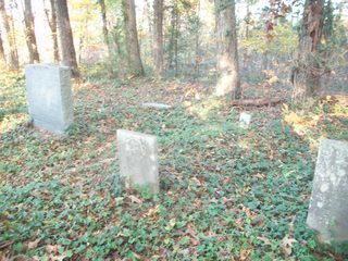
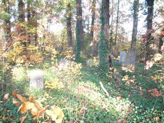
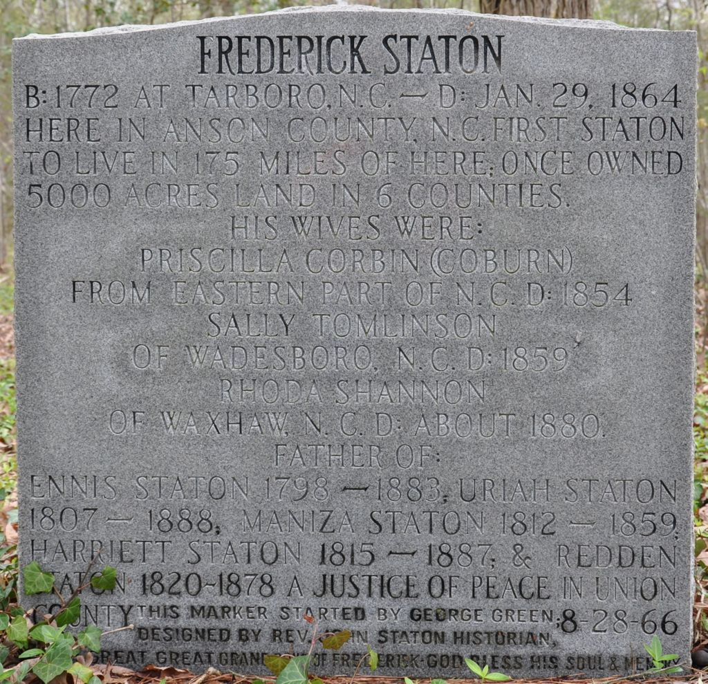
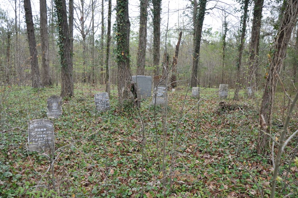
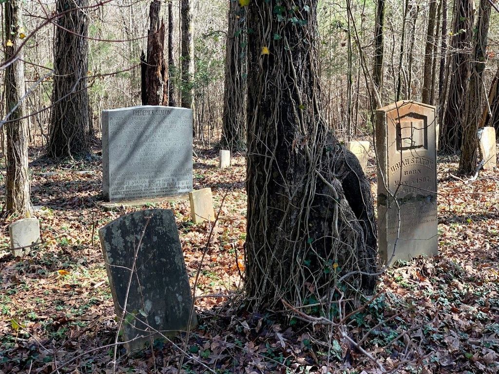
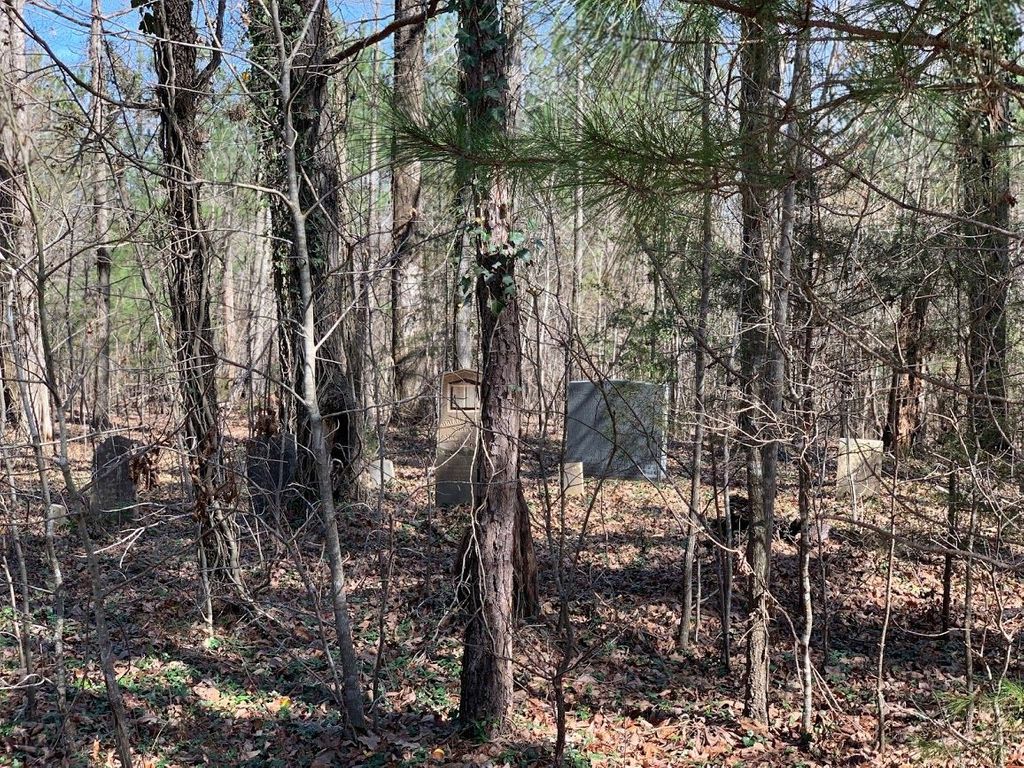
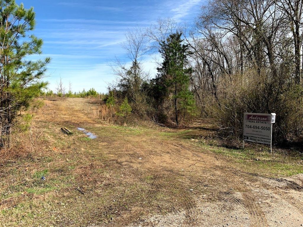
| Description | : | The cemetery is located about one mile off Morgan Road from the Cedar Grove Road. It is on private property but access is freely given by those who request. It is more than a mile from Morgan Road over rough terrain requiring four wheel drive. It is almost inaccessible. The cemetery is located next to the old Staton home place. The home is now gone. The area is now remote and access to the cemetery is difficult, going over rough forest roads. The forest was timbered in the early 2000's. The property is privately owned. The Cemetery was surveyed... Read More |
frequently asked questions (FAQ):
-
Where is Fredrick Staton Cemetery?
Fredrick Staton Cemetery is located at Morgan Road Burnsville, Anson County ,North Carolina ,USA.
-
Fredrick Staton Cemetery cemetery's updated grave count on graveviews.com?
0 memorials
-
Where are the coordinates of the Fredrick Staton Cemetery?
Latitude: 35.1180560
Longitude: -80.1886110
Nearby Cemetories:
1. High-Allen Cemetery
Burnsville, Anson County, USA
Coordinate: 35.1325500, -80.1941000
2. Rocky River Baptist Church Cemetery
Polkton, Anson County, USA
Coordinate: 35.1323540, -80.2019530
3. Drury Allen Cemetery
Anson County, USA
Coordinate: 35.1270940, -80.2120430
4. Wightman United Methodist Church Cemetery
Polkton, Anson County, USA
Coordinate: 35.1419525, -80.1939468
5. Red Hill Baptist Church Cemetery
Ansonville, Anson County, USA
Coordinate: 35.1076220, -80.1577950
6. Poplar Springs Missionary Baptist Church Cemetery
Polkton, Anson County, USA
Coordinate: 35.1361198, -80.2205353
7. Cedar Grove Baptist Church Cemetery
Polkton, Anson County, USA
Coordinate: 35.0827400, -80.2084400
8. Fairview Church of God Cemetery
Polkton, Anson County, USA
Coordinate: 35.1171133, -80.2484826
9. Concord United Methodist Church Cemetery
Ansonville, Anson County, USA
Coordinate: 35.1466610, -80.1338440
10. Cedar Hill AME Zion Church Cemetery
Ansonville, Anson County, USA
Coordinate: 35.1436100, -80.1281100
11. Williams Cemetery
Burnsville, Anson County, USA
Coordinate: 35.0970200, -80.2571400
12. Hopewell Methodist Church Cemetery
Peachland, Anson County, USA
Coordinate: 35.0700500, -80.2325320
13. Mount Vernon United Methodist Church Cemetery
Wadesboro, Anson County, USA
Coordinate: 35.0575600, -80.1569930
14. Tucker Plantation Cemetery
Peachland, Anson County, USA
Coordinate: 35.0702670, -80.2443660
15. S Lilly Cemetery
Norwood, Stanly County, USA
Coordinate: 35.1739900, -80.1437200
16. Bethlehem Cemetery
Ansonville, Anson County, USA
Coordinate: 35.0964012, -80.1102982
17. Gaddy-Allen-Threadgill Cemetery
Ansonville, Anson County, USA
Coordinate: 35.1275250, -80.1046820
18. Thomas Cemetery
Peachland, Anson County, USA
Coordinate: 35.0832850, -80.2653130
19. Mount Zion United Methodist Church Cemetery
Norwood, Stanly County, USA
Coordinate: 35.1896320, -80.1592460
20. Benjamin Lilly Burial Ground
Norwood, Stanly County, USA
Coordinate: 35.1798167, -80.1345500
21. Edwards Family Cemetery
Anson County, USA
Coordinate: 35.1295220, -80.2810380
22. Rocky Mount AME Zion Church Cemetery
Ansonville, Anson County, USA
Coordinate: 35.0959640, -80.0979330
23. Jerusalem Primitive Baptist Church Cemetery
Burnsville, Anson County, USA
Coordinate: 35.1168000, -80.2836000
24. Cottonville AME Zion Cemetery
Norwood, Stanly County, USA
Coordinate: 35.1959960, -80.1887430