
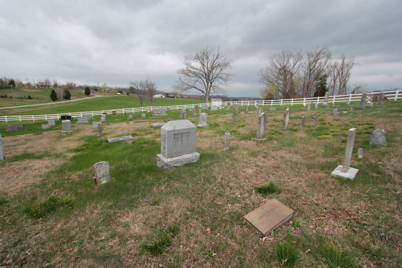
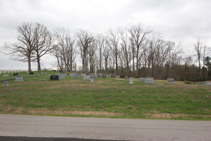
| Memorials | : | 11 |
| Location | : | Duff, Grayson County, USA |
| Coordinate | : | 37.5502940, -86.4134360 |
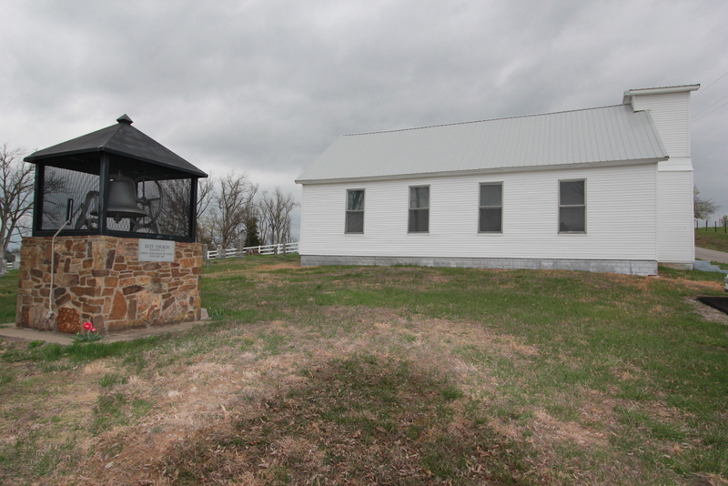
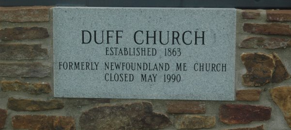
| Description | : | From Leitchfield, Kentucky take Kentucky State Highway 54 (Owensboro Road) west out of town and towards Short Creek, Kentucky. After traveling about 5.9 miles on Kentucky State Highway 54, you will see Duff Road on the right hand side. Turn right onto Duff Road. Take Duff Road about 3.1 miles. Duff Road will make a sharp turn to the left, and Johnny Frank Road continues straight ahead. Turn right onto Johnny Frank Road. About 200 feet ahead on Johnny Frank Road you will see the white Duff Community Church on the left side of the road. The closest... Read More |
frequently asked questions (FAQ):
-
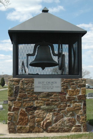
Where is Duff Community Church Cemetery?
Duff Community Church Cemetery is located at 2906 Duff Road Duff, Grayson County ,Kentucky ,USA.
-
Duff Community Church Cemetery cemetery's updated grave count on graveviews.com?
9 memorials
-
Where are the coordinates of the Duff Community Church Cemetery?
Latitude: 37.5502940
Longitude: -86.4134360
Nearby Cemetories:
1. Pilgrim Missionary Baptist Cemetery
Duff, Grayson County, USA
Coordinate: 37.5509300, -86.4426700
2. Little Clifty Baptist Church Cemetery
Leitchfield, Grayson County, USA
Coordinate: 37.5401050, -86.3687800
3. Concord Church Cemetery
Concord, Grayson County, USA
Coordinate: 37.5607014, -86.4606095
4. Short Creek Missionary Baptist Cemetery
Short Creek, Grayson County, USA
Coordinate: 37.5297260, -86.4554560
5. Taylor Cemetery
Leitchfield, Grayson County, USA
Coordinate: 37.5155810, -86.3760780
6. Prewitt Cemetery
Grayson County, USA
Coordinate: 37.5038986, -86.4124985
7. Shain Cemetery
Short Creek, Grayson County, USA
Coordinate: 37.5175018, -86.4646988
8. Ann Mariah Shain Deweese Cemetery
Pine Knob, Grayson County, USA
Coordinate: 37.5386009, -86.4785995
9. Mullin Cemetery
Grayson County, USA
Coordinate: 37.5572014, -86.3463974
10. Lahue-Bradshaw Cemetery
Grayson County, USA
Coordinate: 37.5494003, -86.4878006
11. Beauchamp Family Cemetery
Falls of Rough, Grayson County, USA
Coordinate: 37.5689090, -86.4900950
12. Cravens Cemetery
Leitchfield, Grayson County, USA
Coordinate: 37.4923693, -86.3772753
13. Hopewell Cemetery
Caneyville, Grayson County, USA
Coordinate: 37.4827560, -86.4171620
14. Eveleigh Church Cemetery
Falls of Rough, Grayson County, USA
Coordinate: 37.5731370, -86.3295260
15. Claggett United Baptist Church Cemetery
Leitchfield, Grayson County, USA
Coordinate: 37.4882510, -86.3647650
16. Hanging Rock Church Cemetery
Leitchfield, Grayson County, USA
Coordinate: 37.5458210, -86.3199690
17. Shady Grove Cemetery
Grayson County, USA
Coordinate: 37.5603228, -86.5071411
18. Blain Family Cemetery
Short Creek, Grayson County, USA
Coordinate: 37.5731000, -86.5098000
19. Watson Cemetery
Leitchfield, Grayson County, USA
Coordinate: 37.5111008, -86.3242035
20. Kefauver Cemetery
Leitchfield, Grayson County, USA
Coordinate: 37.4771996, -86.3641968
21. Lone Star Cemetery
Falls of Rough, Grayson County, USA
Coordinate: 37.5929000, -86.5053000
22. New Hope Baptist Church Cemetery
Short Creek, Grayson County, USA
Coordinate: 37.4798000, -86.4749100
23. Mount Carmel Cemetery
Axtel, Breckinridge County, USA
Coordinate: 37.6323000, -86.4685000
24. Saint Anthony Catholic Church Cemetery
Axtel, Breckinridge County, USA
Coordinate: 37.6347000, -86.4626000