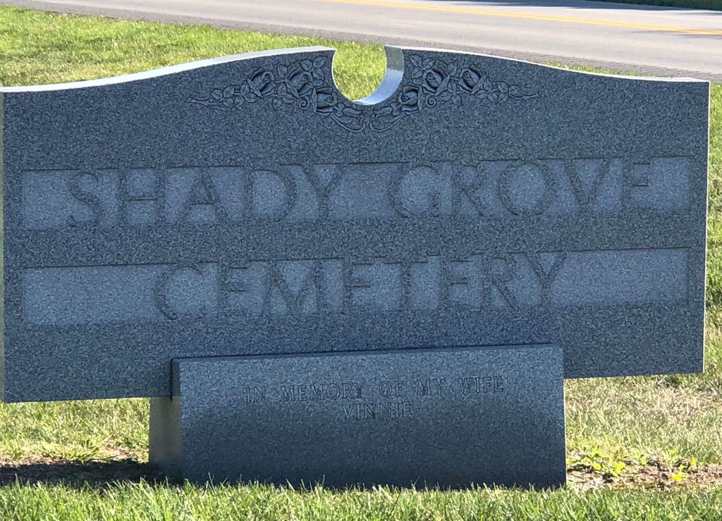
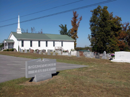
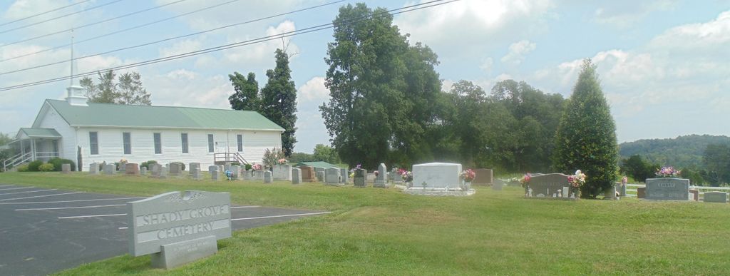
| Memorials | : | 2 |
| Location | : | Grayson County, USA |
| Coordinate | : | 37.5603228, -86.5071411 |
frequently asked questions (FAQ):
-
Where is Shady Grove Cemetery?
Shady Grove Cemetery is located at Grayson County ,Kentucky ,USA.
-
Shady Grove Cemetery cemetery's updated grave count on graveviews.com?
1 memorials
-
Where are the coordinates of the Shady Grove Cemetery?
Latitude: 37.5603228
Longitude: -86.5071411
Nearby Cemetories:
1. Blain Family Cemetery
Short Creek, Grayson County, USA
Coordinate: 37.5731000, -86.5098000
2. Beauchamp Family Cemetery
Falls of Rough, Grayson County, USA
Coordinate: 37.5689090, -86.4900950
3. Lahue-Bradshaw Cemetery
Grayson County, USA
Coordinate: 37.5494003, -86.4878006
4. Allen Cemetery
Grayson County, USA
Coordinate: 37.5741400, -86.5316300
5. Ann Mariah Shain Deweese Cemetery
Pine Knob, Grayson County, USA
Coordinate: 37.5386009, -86.4785995
6. Lone Star Cemetery
Falls of Rough, Grayson County, USA
Coordinate: 37.5929000, -86.5053000
7. Concord Church Cemetery
Concord, Grayson County, USA
Coordinate: 37.5607014, -86.4606095
8. Edwards Family Cemetery
Short Creek, Grayson County, USA
Coordinate: 37.5387410, -86.5450930
9. Payton Cemetery
Grayson County, USA
Coordinate: 37.5497017, -86.5599976
10. Patterson Cemetery
Grayson County, USA
Coordinate: 37.5297012, -86.5457993
11. Smith Cemetery
Grayson County, USA
Coordinate: 37.5477982, -86.5674973
12. Short Creek Missionary Baptist Cemetery
Short Creek, Grayson County, USA
Coordinate: 37.5297260, -86.4554560
13. Pilgrim Missionary Baptist Cemetery
Duff, Grayson County, USA
Coordinate: 37.5509300, -86.4426700
14. Shain Cemetery
Short Creek, Grayson County, USA
Coordinate: 37.5175018, -86.4646988
15. Eskridge Cemetery
Leitchfield, Grayson County, USA
Coordinate: 37.6153000, -86.5080000
16. Porter Cemetery
Grayson County, USA
Coordinate: 37.5391998, -86.5761032
17. Clark Cemetery
Axtel, Breckinridge County, USA
Coordinate: 37.6291880, -86.4867780
18. Duff Community Church Cemetery
Duff, Grayson County, USA
Coordinate: 37.5502940, -86.4134360
19. Mount Carmel Cemetery
Axtel, Breckinridge County, USA
Coordinate: 37.6323000, -86.4685000
20. McClellan Cemetery
Axtel, Breckinridge County, USA
Coordinate: 37.6359167, -86.4733667
21. Sand Knob Cemetery
Axtel, Breckinridge County, USA
Coordinate: 37.6410500, -86.4878000
22. Saint Anthony Catholic Church Cemetery
Axtel, Breckinridge County, USA
Coordinate: 37.6347000, -86.4626000
23. Meador Askins Family Cemetery
Falls of Rough, Breckinridge County, USA
Coordinate: 37.6072960, -86.5935090
24. Macedonia Baptist Church Cemetery
Falls of Rough, Breckinridge County, USA
Coordinate: 37.6200000, -86.5803000


